 Birmingham
Wormit
Sutton Scotney
Shalbourne
Great Amwell
Monk Fryston
Achiltibuie
Aveton Gifford
Church Lench
Alveley
Slough
Little Raveley
Preston Candover
Upton Scudamore
South Petherwin
Ecclefechan
Nuneaton
Coniston Cold
Longhorsley
Birmingham
Wormit
Sutton Scotney
Shalbourne
Great Amwell
Monk Fryston
Achiltibuie
Aveton Gifford
Church Lench
Alveley
Slough
Little Raveley
Preston Candover
Upton Scudamore
South Petherwin
Ecclefechan
Nuneaton
Coniston Cold
Longhorsley
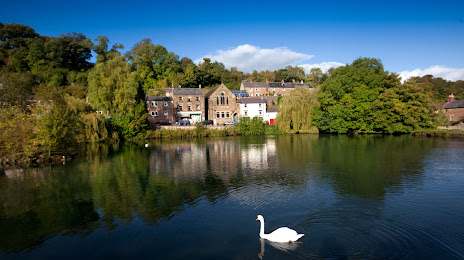
Matlock on the map, United Kingdom
Where is located Matlock
Exact location — Matlock, Derbyshire, England, United Kingdom, marked on the map with a red marker.
Coordinates
Matlock, United Kingdom coordinates in decimal format: latitude — 53.137156, longitude — -1.551774. When converted to degrees, minutes, seconds Matlock has the following coordinates: 53°8′13.76 north latitude and -1°33′6.39 east longitude.
Population
Matlock, Derbyshire, England, United Kingdom, according to our data the population is — 11,516 residents, which is about 0% of the total population of the country (United Kingdom).
Comparison of the population on the graph:
Exact time
Time zone for this location Matlock — UTC +1 Europe/London. Exact time — wednesday, 4 april 2024 year, 00 h. 25 minutes.
Sunrise and sunset
Matlock, sunrise and sunset data for a date — wednesday 24.04.2024.
| Sunrise | Sunset | Day (duration) |
|---|---|---|
| 05:49 -3 minutes | 20:18 +2 minutes | 14 h. 30 minutes. +5 minutes |
You can control the scale of the map using the auxiliary tools to find out exactly where it is located Matlock. When you change the scale of the map, the width of the ruler also changes (in kilometers and miles).
Nearby cities
The largest cities that are located nearby:
- Sheffield — 28 km
- Rotherham — 35 km
- Stoke-on-Trent — 44 km
- Huddersfield — 58 km
- Manchester — 59 km
- Leicester — 62 km
- Sutton Coldfield — 65 km
- West Bromwich — 75 km
- Birmingham — 75 km
- Dudley — 78 km
- Telford — 78 km
- Coventry — 81 km
- Blackburn — 91 km
- Liverpool — 100 km
- Preston — 102 km
- Northampton — 108 km
- Worcester — 114 km
- Cheltenham — 141 km
- Cambridge — 153 km
Distance to neighboring capitals:
- Dublin
 (Ireland) — 314 km
 - Amsterdam
 (Netherlands) — 442 km
 - Brussels
 (Belgium) — 477 km
 - Paris
 (France) — 549 km
 - Paris (France) — 549 km
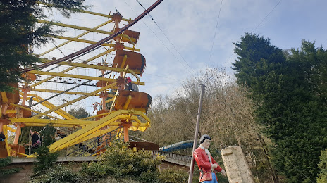
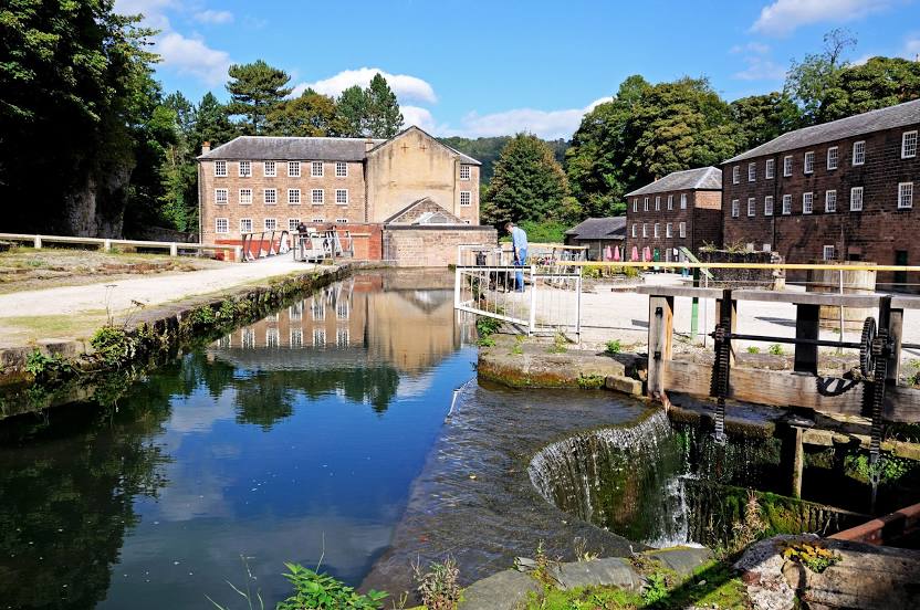
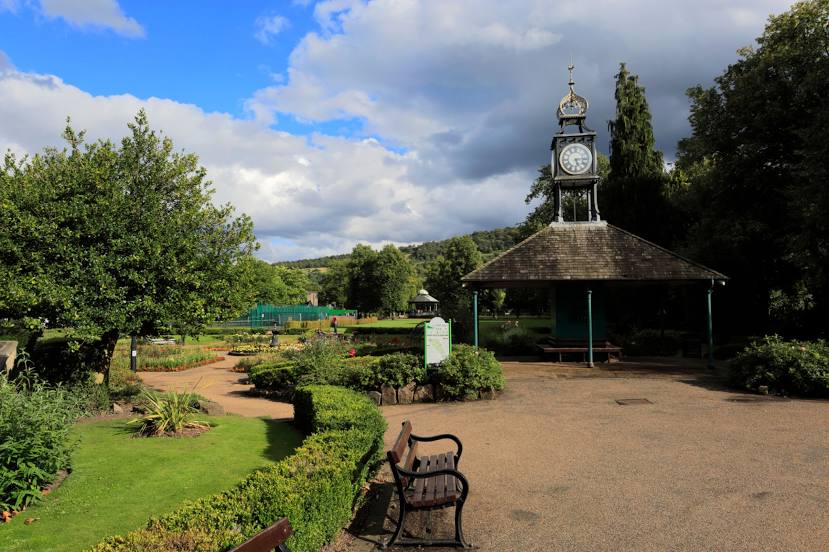
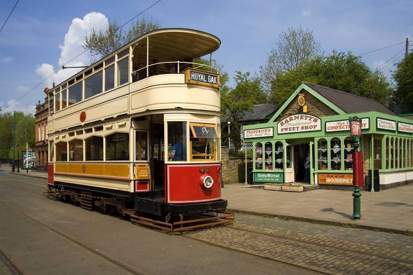
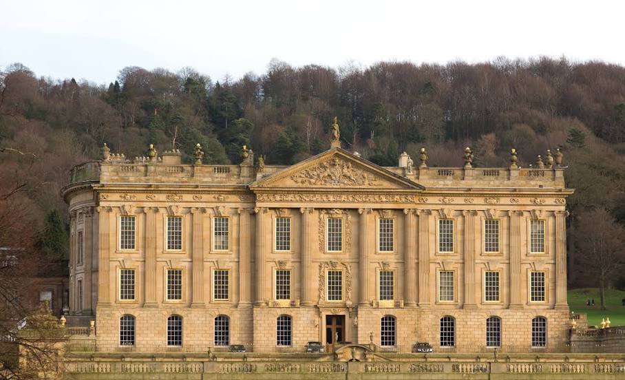
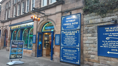
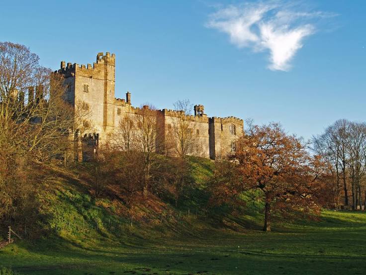
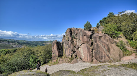
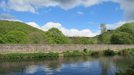
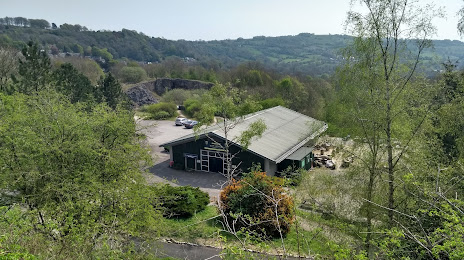
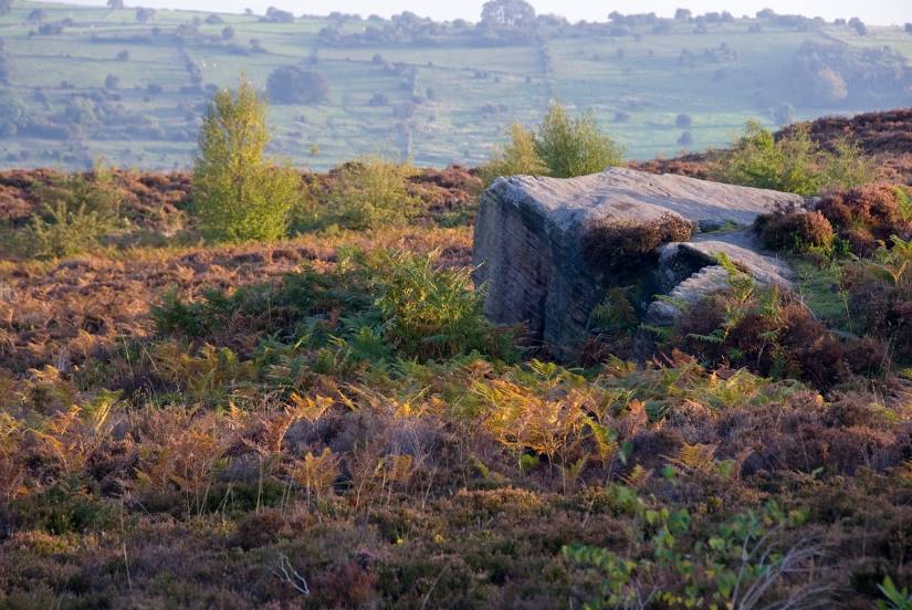
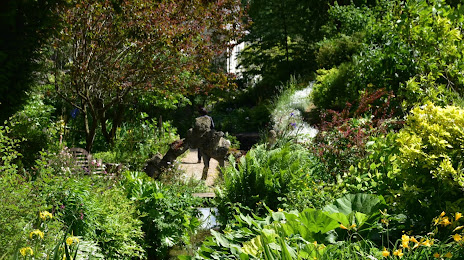
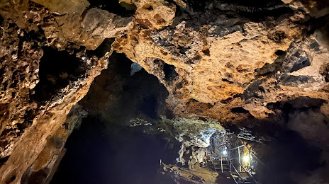
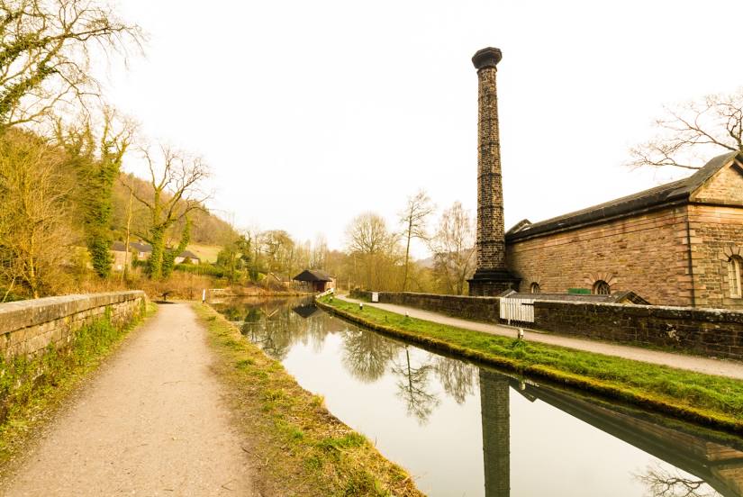
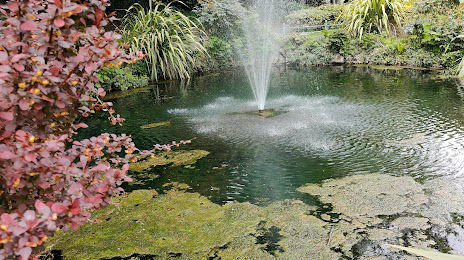
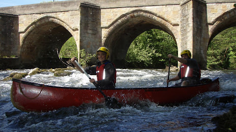
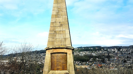
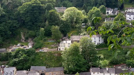
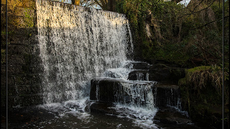
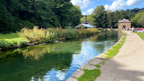
Attractions


Distance to the capital
Distance to the capital (London) is about — 205 km.