 Meonstoke
Tirley
Avington
Gwyddelwern
Stokeinteignhead
Llanwddyn
Erbistock
Porth
Llanrug
Gattonside
Lanlivery
Belfast
Abergorlech
Pontypool
Askerswell
Nantgaredig
Rous Lench
Kimberworth
Llanigon
Meonstoke
Tirley
Avington
Gwyddelwern
Stokeinteignhead
Llanwddyn
Erbistock
Porth
Llanrug
Gattonside
Lanlivery
Belfast
Abergorlech
Pontypool
Askerswell
Nantgaredig
Rous Lench
Kimberworth
Llanigon
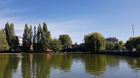
Coventry on the map, United Kingdom
Where is located Coventry
Exact location — Coventry, West Midlands, England, United Kingdom, marked on the map with a red marker.
Coordinates
Coventry, United Kingdom coordinates in decimal format: latitude — 52.406822, longitude — -1.519693. When converted to degrees, minutes, seconds Coventry has the following coordinates: 52°24′24.56 north latitude and -1°31′10.89 east longitude.
Population
Coventry, West Midlands, England, United Kingdom, according to our data the population is — 308,314 residents, which is about 0.5% of the total population of the country (United Kingdom).
Comparison of the population on the graph:
Exact time
Time zone for this location Coventry — UTC +1 Europe/London. Exact time — thursday, 4 april 2024 year, 00 h. 56 minutes.
Sunrise and sunset
Coventry, sunrise and sunset data for a date — thursday 25.04.2024.
| Sunrise | Sunset | Day (duration) |
|---|---|---|
| 05:49 -2 minutes | 20:18 +2 minutes | 14 h. 30 minutes. +4 minutes |
You can control the scale of the map using the auxiliary tools to find out exactly where it is located Coventry. When you change the scale of the map, the width of the ruler also changes (in kilometers and miles).
Nearby cities
The largest cities that are located nearby:
- Birmingham — 26 km
- Sutton Coldfield — 27 km
- West Bromwich — 34 km
- Leicester — 36 km
- Dudley — 40 km
- Northampton — 46 km
- Worcester — 53 km
- Cheltenham — 68 km
- Telford — 69 km
- Oxford — 75 km
- Stoke-on-Trent — 79 km
- Luton — 95 km
- Swindon — 96 km
- Sheffield — 108 km
- Reading — 112 km
- Cambridge — 113 km
- Watford — 114 km
- Rotherham — 114 km
- Slough — 118 km
Distance to neighboring capitals:
- Dublin
 (Ireland) — 335 km
 - Amsterdam
 (Netherlands) — 435 km
 - Brussels
 (Belgium) — 441 km
 - Paris
 (France) — 480 km
 - Paris (France) — 480 km
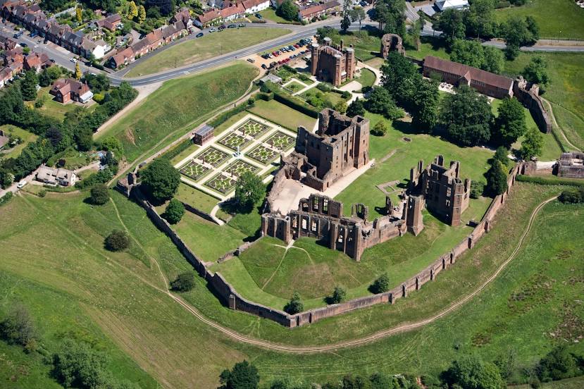
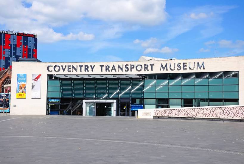
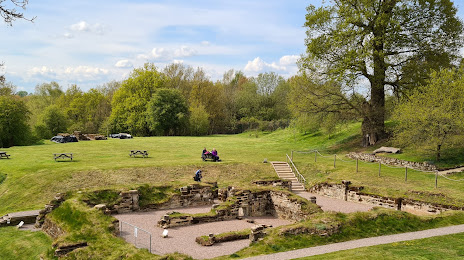
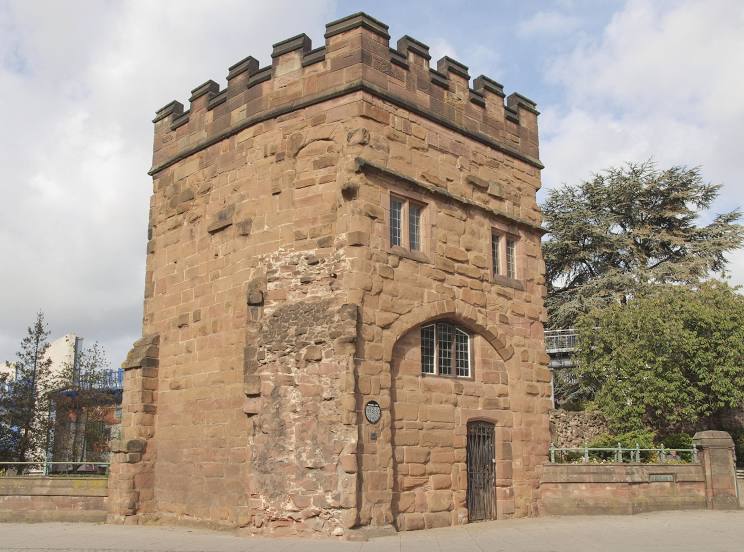
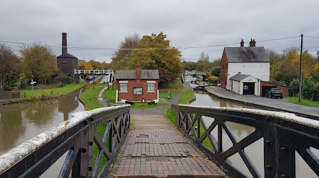
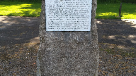
Attractions


Distance to the capital
Distance to the capital (London) is about — 138 km.