Hobbs — Graysville
Hobbs — Brooten
Hobbs — Jackson
Hobbs — Southgate
Hobbs — Bona
Hobbs — Gladewater
Hobbs — Garberville
Hobbs — Oak Brook
Hobbs — Bryan
Hobbs — Candor
Hobbs — San Simeon
Hobbs — Donaldsonville
Hobbs — Page County
Hobbs — Richardton
Hobbs — Mineral Point
Hobbs — Velma
Hobbs — Mapleton
Hobbs — North Dakota
Hobbs — Long Lake
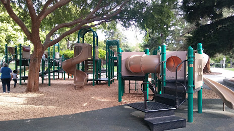
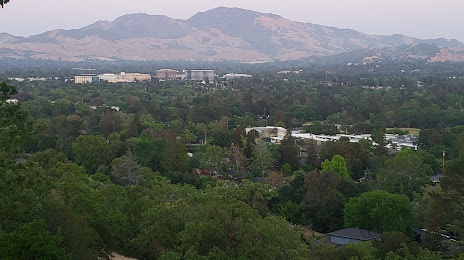
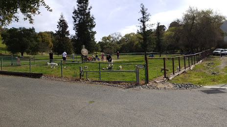
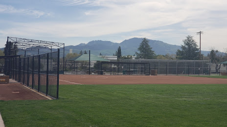
Hobbs — Pleasant Hill distance, route on the map
Distance by car
Distance between Hobbs, New Mexico, United States and Pleasant Hill, California, United States by car is — km, or miles. To travel this distance by car, you need minute, or h.
Route on the map, driving directions
Car route Hobbs — Pleasant Hill was created automatically. The road on the map is shown as a blue line. By moving the markers, you can create a new route through the points you need.
Distance by plane
If you decide to take a trip Hobbs Pleasant Hill by plane, then you have to fly the distance — 1810 km or 1122 miles. It is marked on the map with a gray line (between two points in a straight line).
Flight time
Estimated flight time Hobbs Pleasant Hill by plane at cruising speed 750 km / h will be — 2 h. and 24 min.
Direction of movement
United States, Hobbs — right-hand traffic. United States, Pleasant Hill — right-hand traffic.
Difference in time
Hobbs and Pleasant Hill are in different time zones. The time difference is 1 hour (UTC -6 America/Denver, UTC -7 America/Los_Angeles).
Interesting Facts
Information on alternative ways to get to your destination.
The length of this distance is about 4.5% of the total length of the equator.
The percentage of the population is clearly shown in the graph:
Hobbs — 28,013 (less by 6,464), Pleasant Hill — 34,477 residents.
The cost of travel
Calculate the cost of the trip yourself using the fuel consumption calculator, changing the data in the table.