 Carbis Bay
Gulval
Little Plumstead
Streetly
Pimperne
Owermoigne
Great Rollright
Grampound
Beckford
Bexleyheath
Griffithstown
Monks Eleigh
Hampton Hill
Thornbury
Hungerford
Tavernspite
Thorne
Cold Ash
Ystalyfera
Carbis Bay
Gulval
Little Plumstead
Streetly
Pimperne
Owermoigne
Great Rollright
Grampound
Beckford
Bexleyheath
Griffithstown
Monks Eleigh
Hampton Hill
Thornbury
Hungerford
Tavernspite
Thorne
Cold Ash
Ystalyfera
Eaton Socon on the map, United Kingdom
Where is located Eaton Socon
Exact location — Eaton Socon, Cambridgeshire, England, United Kingdom, marked on the map with a red marker.
Coordinates
Eaton Socon, United Kingdom coordinates in decimal format: latitude — 52.22, longitude — -0.29. When converted to degrees, minutes, seconds Eaton Socon has the following coordinates: 52°13′12 north latitude and -0°17′24 east longitude.
Population
Eaton Socon, Cambridgeshire, England, United Kingdom, according to our data the population is — 12,712 residents, which is about 0% of the total population of the country (United Kingdom).
Comparison of the population on the graph:
Exact time
Time zone for this location Eaton Socon — UTC +1 Europe/London. Exact time — thursday, 4 april 2024 year, 00 h. 27 minutes.
Sunrise and sunset
Eaton Socon, sunrise and sunset data for a date — thursday 25.04.2024.
| Sunrise | Sunset | Day (duration) |
|---|---|---|
| 05:45 -2 minutes | 20:12 +1 minute | 14 h. 30 minutes. +3 minutes |
You can control the scale of the map using the auxiliary tools to find out exactly where it is located Eaton Socon. When you change the scale of the map, the width of the ruler also changes (in kilometers and miles).
Nearby cities
The largest cities that are located nearby:
- Cambridge — 28 km
- Luton — 39 km
- Northampton — 42 km
- Watford — 63 km
- Leicester — 73 km
- Chelmsford — 75 km
- Slough — 81 km
- Oxford — 84 km
- Coventry — 85 km
- Basildon — 89 km
- Sutton — 95 km
- Reading — 97 km
- Ipswich — 99 km
- Southend-on-Sea — 101 km
- Gillingham — 109 km
- Sutton Coldfield — 110 km
- Birmingham — 112 km
- Norwich — 116 km
- West Bromwich — 119 km
Distance to neighboring capitals:
- Amsterdam
 (Netherlands) — 353 km
 - Brussels
 (Belgium) — 355 km
 - Paris
 (France) — 418 km
 - Paris (France) — 418 km
- Dublin
 (Ireland) — 421 km
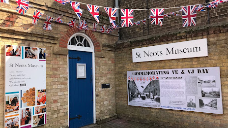
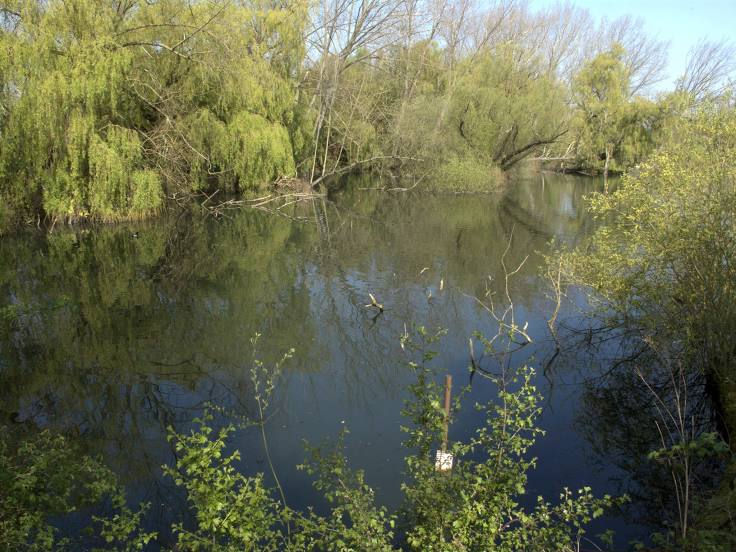
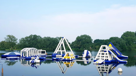
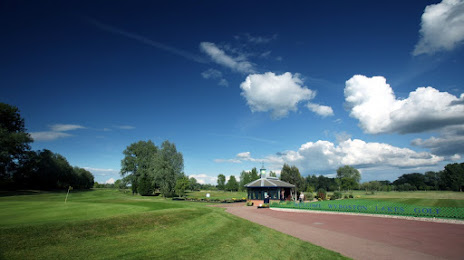
Attractions


Distance to the capital
Distance to the capital (London) is about — 80 km.