 Sunbury-on-Thames
Ashleworth
Hatfield
Feltham
Northwood
Crowthorne
Liverpool
Southall
Finchampstead
Sunbury-on-Thames
Ashleworth
Hatfield
Feltham
Northwood
Crowthorne
Liverpool
Southall
Finchampstead
Brentford on the map, United Kingdom
Where is located Brentford
Exact location — Brentford, Greater London, England, United Kingdom, marked on the map with a red marker.
Coordinates
Brentford, United Kingdom coordinates in decimal format: latitude — 51.486073, longitude — -0.3101169. When converted to degrees, minutes, seconds Brentford has the following coordinates: 51°29′9.86 north latitude and -0°18′36.42 east longitude.
Population
Brentford, Greater London, England, United Kingdom, according to our data the population is — 10,750 residents, which is about 0% of the total population of the country (United Kingdom).
Comparison of the population on the graph:
Exact time
Time zone for this location Brentford — UTC +1 Europe/London. Exact time — saturday, 4 april 2024 year, 02 h. 41 minute.
Sunrise and sunset
Brentford, sunrise and sunset data for a date — saturday 20.04.2024.
| Sunrise | Sunset | Day (duration) |
|---|---|---|
| 05:57 -2 minutes | 20:02 +1 minute | 14 h. 6 minutes. +3 minutes |
You can control the scale of the map using the auxiliary tools to find out exactly where it is located Brentford. When you change the scale of the map, the width of the ruler also changes (in kilometers and miles).
Nearby cities
The largest cities that are located nearby:
- Sutton — 16 km
- Watford — 20 km
- Slough — 20 km
- Crawley — 43 km
- Luton — 44 km
- Reading — 46 km
- Basildon — 56 km
- Chelmsford — 60 km
- Gillingham — 60 km
- Southend-on-Sea — 70 km
- Oxford — 71 km
- Cambridge — 85 km
- Eastbourne — 90 km
- Portsmouth — 92 km
- Northampton — 93 km
- Southampton — 99 km
- Swindon — 101 km
- Ipswich — 118 km
- Cheltenham — 129 km
Distance to neighboring capitals:
- Brussels
 (Belgium) — 333 km
 - Paris
 (France) — 349 km
 - Paris (France) — 349 km
- Amsterdam
 (Netherlands) — 370 km
 - Dublin
 (Ireland) — 454 km
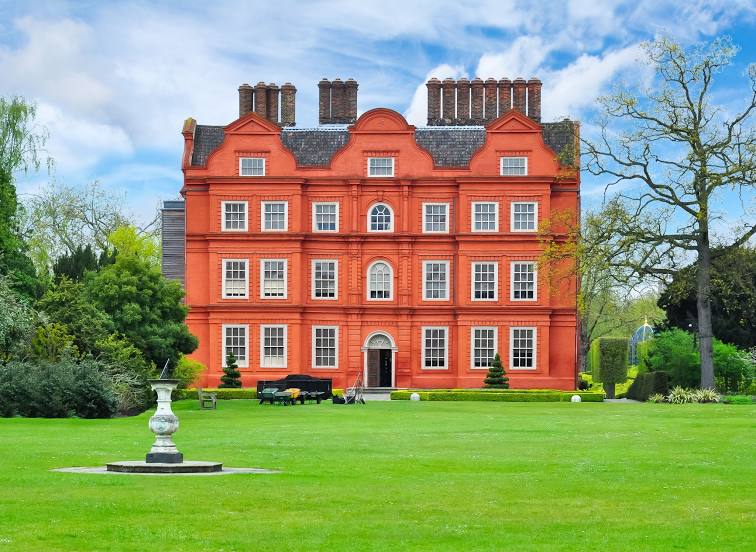
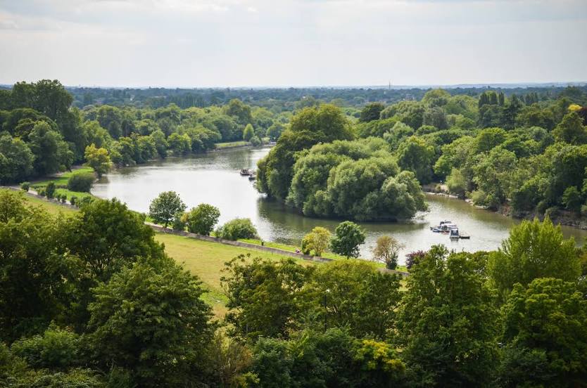
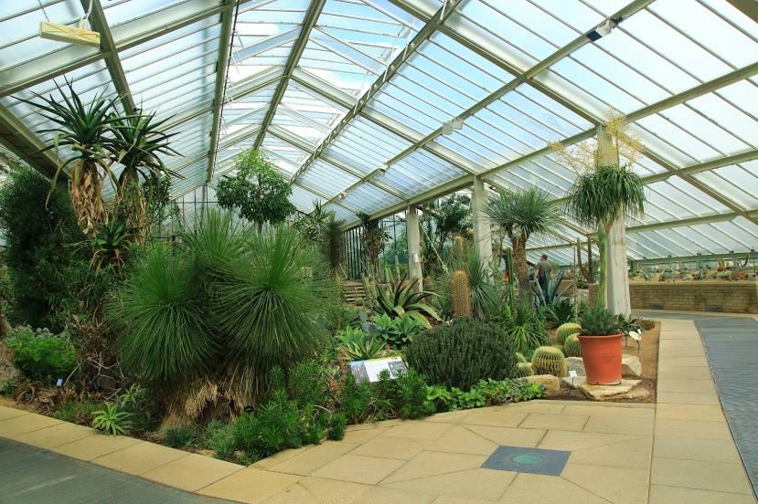
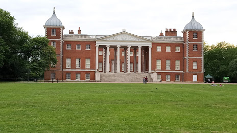
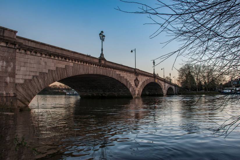
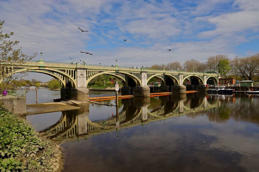
Attractions


Distance to the capital
Distance to the capital (London) is about — 13 km.