 Bracknell Forest
London
London
Bristol
Saint Austell
London
Belph
London
Lisburn
Birmingham Airport
Robin Hood Airport
Glasgow Airport
Liverpool John Lennon Airport
Belfast
Boarhills
Utley
Winterbourne Bassett
Linkenholt
Kinlet
Bracknell Forest
London
London
Bristol
Saint Austell
London
Belph
London
Lisburn
Birmingham Airport
Robin Hood Airport
Glasgow Airport
Liverpool John Lennon Airport
Belfast
Boarhills
Utley
Winterbourne Bassett
Linkenholt
Kinlet
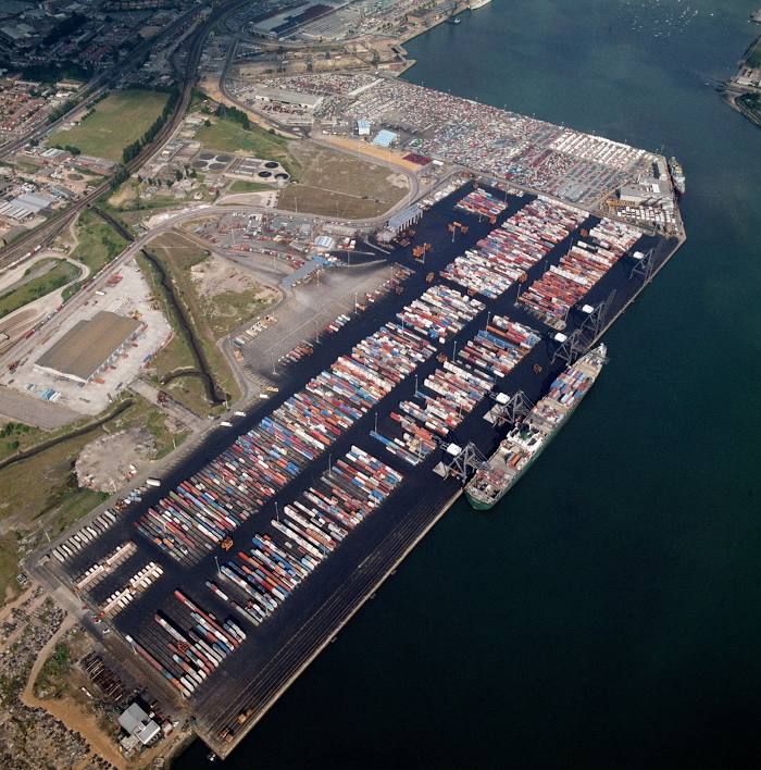
Southampton on the map, United Kingdom
Where is located Southampton
Exact location — Southampton, Southampton, England, United Kingdom, marked on the map with a red marker.
Coordinates
Southampton, United Kingdom coordinates in decimal format: latitude — 50.9097004, longitude — -1.4043509. When converted to degrees, minutes, seconds Southampton has the following coordinates: 50°54′34.92 north latitude and -1°24′15.66 east longitude.
Population
Southampton, Southampton, England, United Kingdom, according to our data the population is — 246,201 residents, which is about 0.4% of the total population of the country (United Kingdom).
Comparison of the population on the graph:
Exact time
Time zone for this location Southampton — UTC +1 Europe/London. Exact time — saturday, 4 april 2024 year, 15 h. 02 minutes.
Sunrise and sunset
Southampton, sunrise and sunset data for a date — saturday 20.04.2024.
| Sunrise | Sunset | Day (duration) |
|---|---|---|
| 06:03 -2 minutes | 20:05 +1 minute | 14 h. 0 minutes. +3 minutes |
You can control the scale of the map using the auxiliary tools to find out exactly where it is located Southampton. When you change the scale of the map, the width of the ruler also changes (in kilometers and miles).
Nearby cities
The largest cities that are located nearby:
- Portsmouth — 24 km
- Bournemouth — 39 km
- Reading — 67 km
- Swindon — 76 km
- Slough — 87 km
- Crawley — 87 km
- Oxford — 94 km
- Sutton — 97 km
- Bristol — 101 km
- Watford — 108 km
- Cheltenham — 119 km
- Eastbourne — 120 km
- Luton — 126 km
- Gillingham — 145 km
- Basildon — 150 km
- Exeter — 151 km
- Northampton — 151 km
- Worcester — 152 km
- Chelmsford — 157 km
Distance to neighboring capitals:
- Paris
 (France) — 353 km
 - Paris (France) — 353 km
- Brussels
 (Belgium) — 404 km
 - Dublin
 (Ireland) — 428 km
 - Amsterdam
 (Netherlands) — 464 km
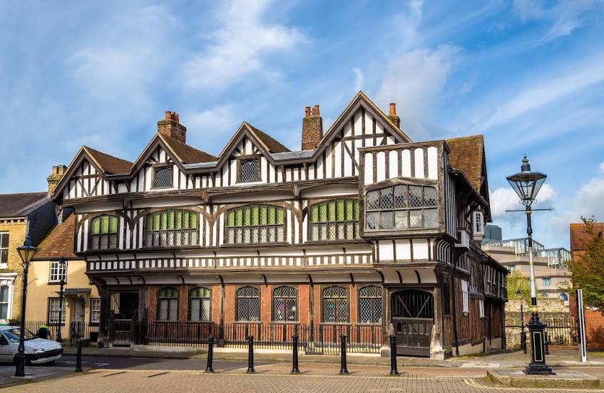
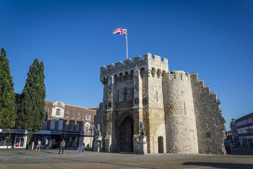
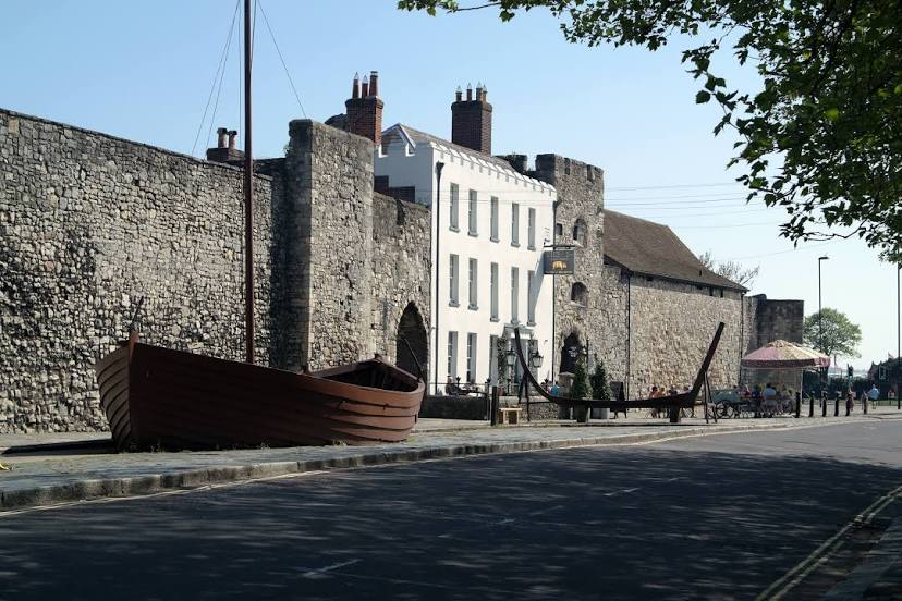
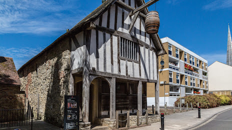
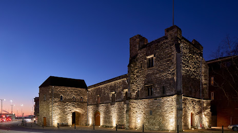
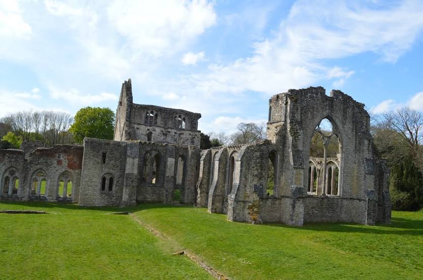
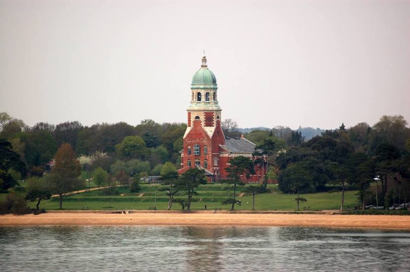
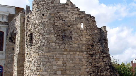
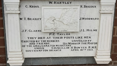
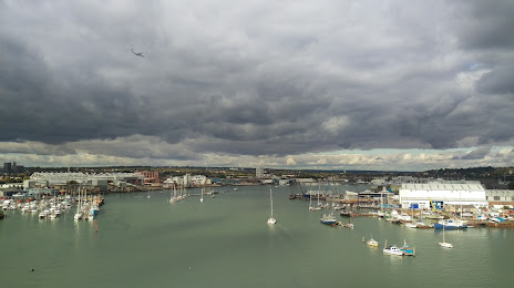
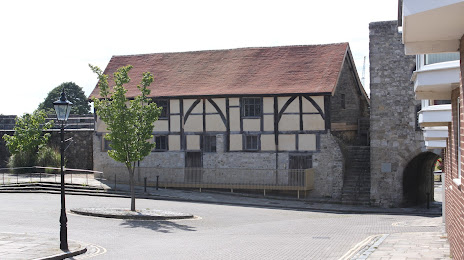
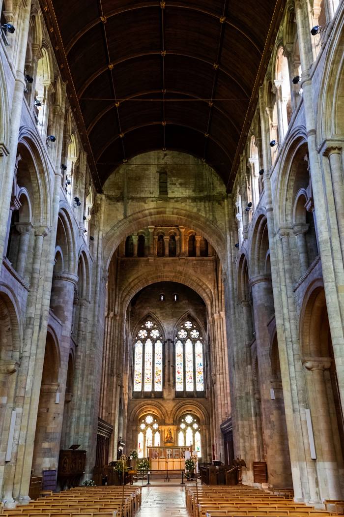
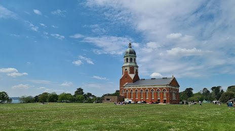
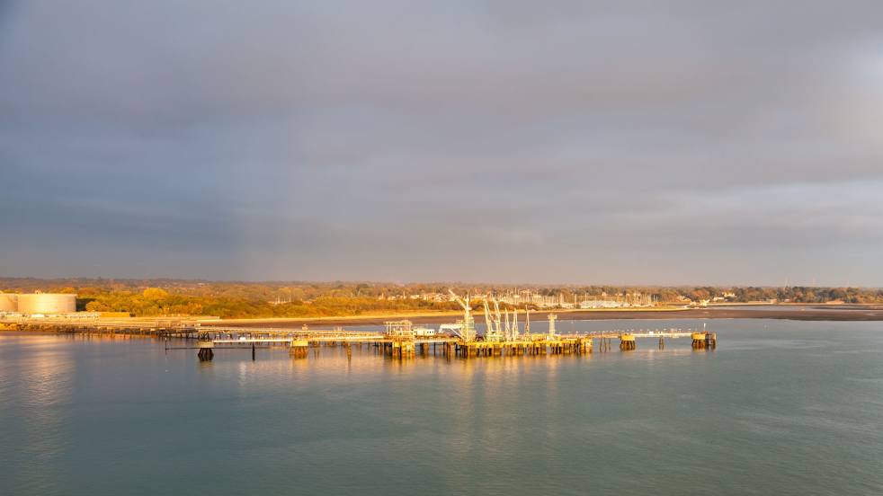
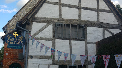
Attractions


Distance to the capital
Distance to the capital (London) is about — 111 km.