 Worcester
Milltown of Rothiemay
Gailey
England
Oxford
Billington
Kimbolton
Norfolk
Cornwell
Stone House
Dover
Holyhead
Preston
London
Dover
London
Kingston Upon Hull
Leicester
London
Worcester
Milltown of Rothiemay
Gailey
England
Oxford
Billington
Kimbolton
Norfolk
Cornwell
Stone House
Dover
Holyhead
Preston
London
Dover
London
Kingston Upon Hull
Leicester
London
Yeovil on the map, United Kingdom
Where is located Yeovil
Exact location — Yeovil, Somerset, England, United Kingdom, marked on the map with a red marker.
Coordinates
Yeovil, United Kingdom coordinates in decimal format: latitude — 50.942061, longitude — -2.633308. When converted to degrees, minutes, seconds Yeovil has the following coordinates: 50°56′31.42 north latitude and -2°37′59.91 east longitude.
Population
Yeovil, Somerset, England, United Kingdom, according to our data the population is — 43,733 residents, which is about 0.1% of the total population of the country (United Kingdom).
Comparison of the population on the graph:
Exact time
Time zone for this location Yeovil — UTC +1 Europe/London. Exact time — friday, 4 april 2024 year, 02 h. 34 minutes.
Sunrise and sunset
Yeovil, sunrise and sunset data for a date — friday 19.04.2024.
| Sunrise | Sunset | Day (duration) |
|---|---|---|
| 06:09 -3 minutes | 20:09 +2 minutes | 14 h. 0 minutes. +5 minutes |
You can control the scale of the map using the auxiliary tools to find out exactly where it is located Yeovil. When you change the scale of the map, the width of the ruler also changes (in kilometers and miles).
Nearby cities
The largest cities that are located nearby:
- Bristol — 57 km
- Bournemouth — 58 km
- Exeter — 68 km
- Southampton — 86 km
- Swindon — 90 km
- Portsmouth — 109 km
- Cheltenham — 112 km
- Reading — 127 km
- Oxford — 130 km
- Worcester — 141 km
- Slough — 154 km
- Crawley — 171 km
- Watford — 173 km
- Sutton — 175 km
- Dudley — 178 km
- Birmingham — 178 km
- Coventry — 179 km
- West Bromwich — 179 km
- Luton — 183 km
Distance to neighboring capitals:
- Dublin
 (Ireland) — 365 km
 - Paris
 (France) — 426 km
 - Paris (France) — 426 km
- Brussels
 (Belgium) — 490 km
 - Amsterdam
 (Netherlands) — 543 km
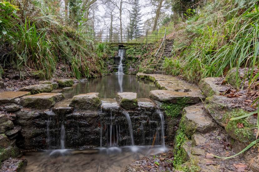
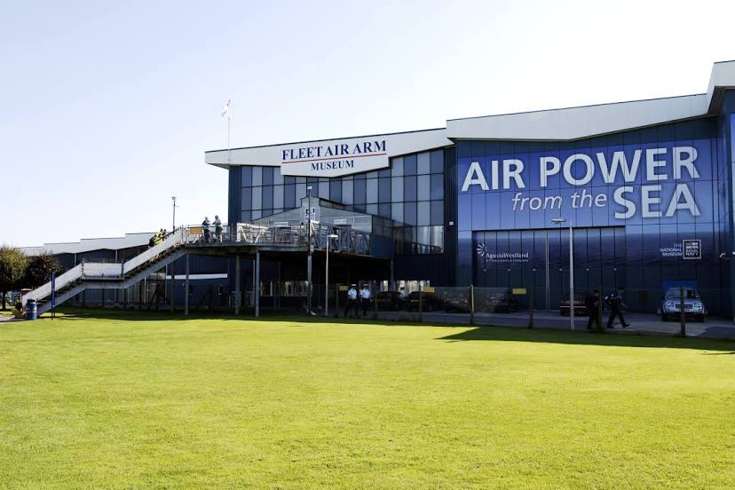
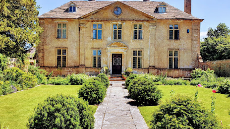
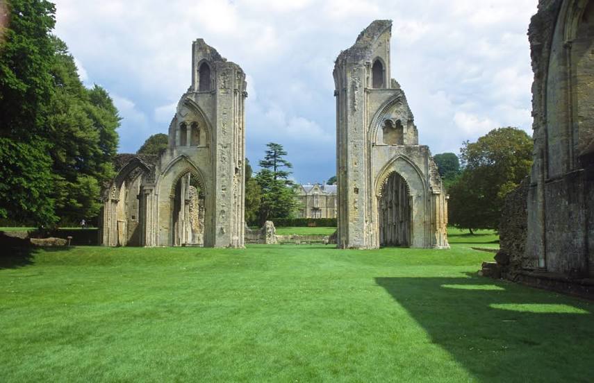
Attractions


Distance to the capital
Distance to the capital (London) is about — 185 km.