 Chertsey
Cranford
Whitehaven
Kent
Andover
Luton
Whitby
Swindon
Bournemouth
Yeovil
Lisburn
London
Belph
London
Saint Austell
Bristol
London
London
Bracknell Forest
Chertsey
Cranford
Whitehaven
Kent
Andover
Luton
Whitby
Swindon
Bournemouth
Yeovil
Lisburn
London
Belph
London
Saint Austell
Bristol
London
London
Bracknell Forest
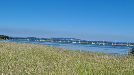
Chichester on the map, United Kingdom
Where is located Chichester
Exact location — Chichester, West Sussex, England, United Kingdom, marked on the map with a red marker.
Coordinates
Chichester, United Kingdom coordinates in decimal format: latitude — 50.83761, longitude — -0.774936. When converted to degrees, minutes, seconds Chichester has the following coordinates: 50°50′15.4 north latitude and -0°46′29.77 east longitude.
Population
Chichester, West Sussex, England, United Kingdom, according to our data the population is — 28,222 residents, which is about 0% of the total population of the country (United Kingdom).
Comparison of the population on the graph:
Exact time
Time zone for this location Chichester — UTC +1 Europe/London. Exact time — thursday, 4 april 2024 year, 00 h. 51 minute.
Sunrise and sunset
Chichester, sunrise and sunset data for a date — thursday 18.04.2024.
| Sunrise | Sunset | Day (duration) |
|---|---|---|
| 06:04 -2 minutes | 19:59 +1 minute | 13 h. 54 minutes. +3 minutes |
You can control the scale of the map using the auxiliary tools to find out exactly where it is located Chichester. When you change the scale of the map, the width of the ruler also changes (in kilometers and miles).
Nearby cities
The largest cities that are located nearby:
- Portsmouth — 22 km
- Southampton — 45 km
- Crawley — 51 km
- Reading — 70 km
- Sutton — 70 km
- Eastbourne — 75 km
- Slough — 75 km
- Bournemouth — 79 km
- Watford — 94 km
- Swindon — 105 km
- Oxford — 106 km
- Gillingham — 110 km
- Luton — 118 km
- Basildon — 119 km
- Southend-on-Sea — 129 km
- Chelmsford — 131 km
- Bristol — 142 km
- Cheltenham — 147 km
- Northampton — 155 km
Distance to neighboring capitals:
- Paris
 (France) — 314 km
 - Paris (France) — 314 km
- Brussels
 (Belgium) — 360 km
 - Amsterdam
 (Netherlands) — 427 km
 - Dublin
 (Ireland) — 467 km
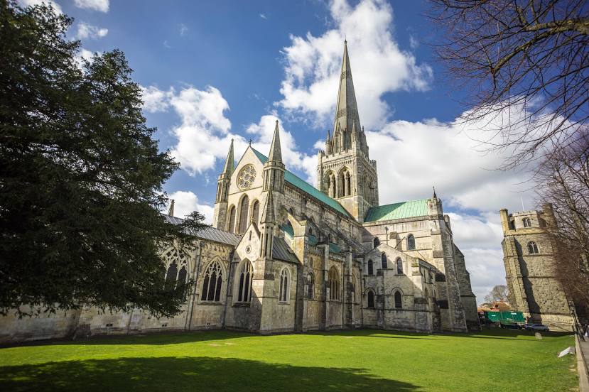
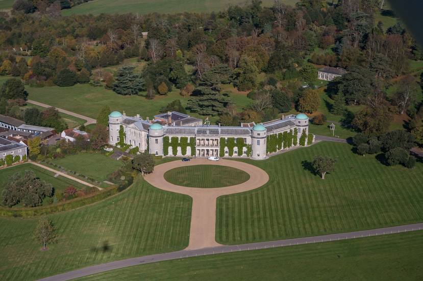
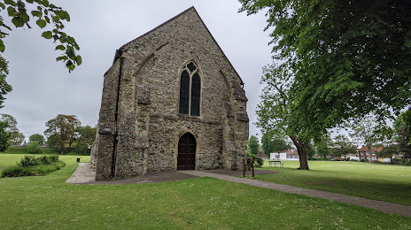
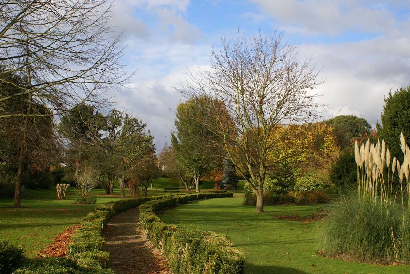
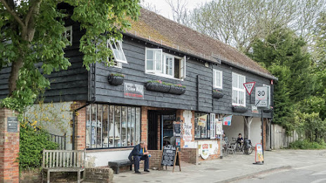
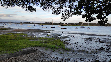
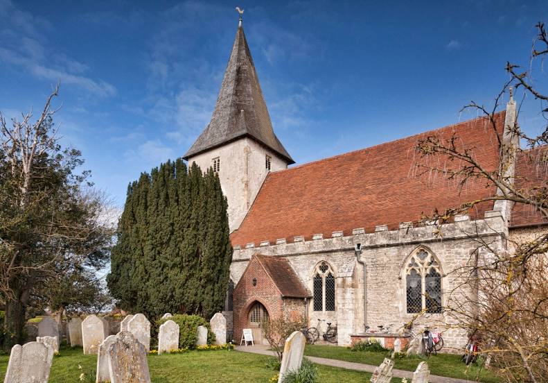
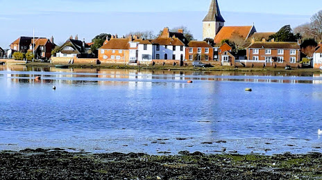
Attractions


Distance to the capital
Distance to the capital (London) is about — 87 km.