 Edinburgh
Leeds
York
Bristol
Cardiff
Oxford
Dundee
Aberdeen
Dunfermline
Chichester
East Hanney
Cirencester
Edinburgh
London
Wales
North Yorkshire
Scotland
Cardiff
Newcastle upon Tyne
Edinburgh
Leeds
York
Bristol
Cardiff
Oxford
Dundee
Aberdeen
Dunfermline
Chichester
East Hanney
Cirencester
Edinburgh
London
Wales
North Yorkshire
Scotland
Cardiff
Newcastle upon Tyne
Mansfield on the map, United Kingdom
Where is located Mansfield
Exact location — Mansfield, Nottinghamshire, England, United Kingdom, marked on the map with a red marker.
Coordinates
Mansfield, United Kingdom coordinates in decimal format: latitude — 53.147195, longitude — -1.198674. When converted to degrees, minutes, seconds Mansfield has the following coordinates: 53°8′49.9 north latitude and -1°11′55.23 east longitude.
Population
Mansfield, Nottinghamshire, England, United Kingdom, according to our data the population is — 70,447 residents, which is about 0.1% of the total population of the country (United Kingdom).
Comparison of the population on the graph:
Exact time
Time zone for this location Mansfield — UTC +1 Europe/London. Exact time — wednesday, 4 april 2024 year, 14 h. 44 minutes.
Sunrise and sunset
Mansfield, sunrise and sunset data for a date — wednesday 24.04.2024.
| Sunrise | Sunset | Day (duration) |
|---|---|---|
| 05:48 -2 minutes | 20:17 +2 minutes | 14 h. 30 minutes. +4 minutes |
You can control the scale of the map using the auxiliary tools to find out exactly where it is located Mansfield. When you change the scale of the map, the width of the ruler also changes (in kilometers and miles).
Nearby cities
The largest cities that are located nearby:
- Sheffield — 31 km
- Rotherham — 33 km
- Leicester — 57 km
- Stoke-on-Trent — 67 km
- Huddersfield — 67 km
- Sutton Coldfield — 76 km
- Manchester — 78 km
- Coventry — 85 km
- Birmingham — 87 km
- West Bromwich — 88 km
- Dudley — 92 km
- Telford — 98 km
- Northampton — 102 km
- Blackburn — 107 km
- Preston — 120 km
- Liverpool — 122 km
- Worcester — 126 km
- Cambridge — 137 km
- Luton — 150 km
Distance to neighboring capitals:
- Dublin
 (Ireland) — 338 km
 - Amsterdam
 (Netherlands) — 419 km
 - Brussels
 (Belgium) — 458 km
 - Paris
 (France) — 538 km
 - Paris (France) — 538 km
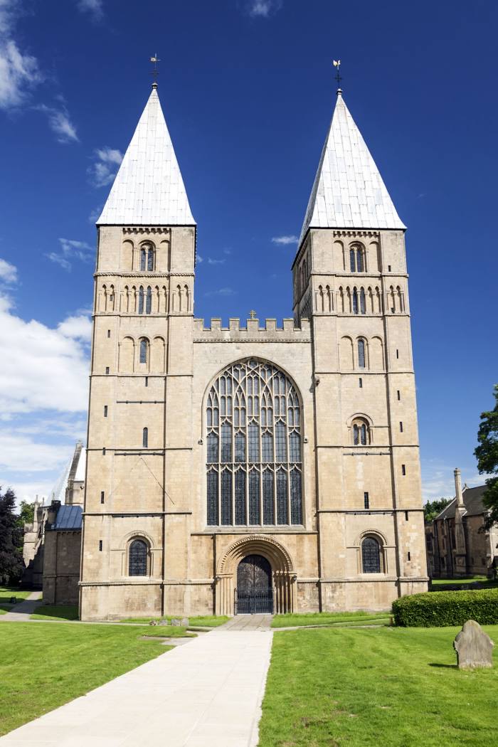
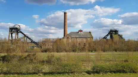
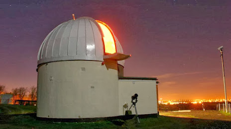
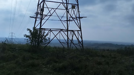
Attractions


Distance to the capital
Distance to the capital (London) is about — 196 km.