 Scotland
Surrey
Stockport
Scotland
Thirsk
Helmsley
Flintshire
Driffield
Portsmouth
Margate
York
Saint Ives
Great Britain
Kingston upon Thames
Whitley Bay
Leicester
Ipswich
Peterborough
Northern Ireland
Scotland
Surrey
Stockport
Scotland
Thirsk
Helmsley
Flintshire
Driffield
Portsmouth
Margate
York
Saint Ives
Great Britain
Kingston upon Thames
Whitley Bay
Leicester
Ipswich
Peterborough
Northern Ireland
Llanelli on the map, United Kingdom
Where is located Llanelli
Exact location — Llanelli, Carmarthenshire, Wales, United Kingdom, marked on the map with a red marker.
Coordinates
Llanelli, United Kingdom coordinates in decimal format: latitude — 51.680886, longitude — -4.160248. When converted to degrees, minutes, seconds Llanelli has the following coordinates: 51°40′51.19 north latitude and -4°9′36.89 east longitude.
Population
Llanelli, Carmarthenshire, Wales, United Kingdom, according to our data the population is — 47,206 residents, which is about 0.1% of the total population of the country (United Kingdom).
Comparison of the population on the graph:
Exact time
Time zone for this location Llanelli — UTC +1 Europe/London. Exact time — saturday, 4 april 2024 year, 02 h. 39 minutes.
Sunrise and sunset
Llanelli, sunrise and sunset data for a date — saturday 20.04.2024.
| Sunrise | Sunset | Day (duration) |
|---|---|---|
| 06:12 -2 minutes | 20:18 +2 minutes | 14 h. 6 minutes. +4 minutes |
You can control the scale of the map using the auxiliary tools to find out exactly where it is located Llanelli. When you change the scale of the map, the width of the ruler also changes (in kilometers and miles).
Nearby cities
The largest cities that are located nearby:
- Bristol — 111 km
- Exeter — 115 km
- Worcester — 143 km
- Cheltenham — 144 km
- Telford — 159 km
- Swindon — 164 km
- Dudley — 167 km
- West Bromwich — 173 km
- Birmingham — 177 km
- Sutton Coldfield — 185 km
- Bournemouth — 192 km
- Coventry — 195 km
- Stoke-on-Trent — 197 km
- Oxford — 199 km
- Liverpool — 206 km
- Southampton — 210 km
- Reading — 221 km
- Leicester — 229 km
- Northampton — 229 km
Distance to neighboring capitals:
- Dublin
 (Ireland) — 234 km
 - Paris
 (France) — 559 km
 - Paris (France) — 559 km
- Brussels
 (Belgium) — 599 km
 - Amsterdam
 (Netherlands) — 624 km
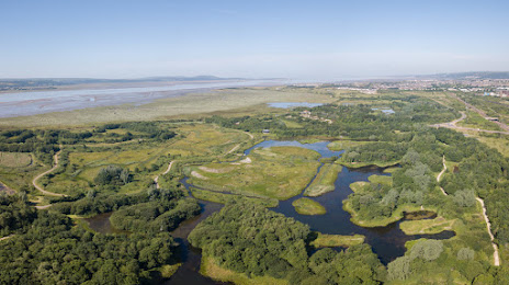
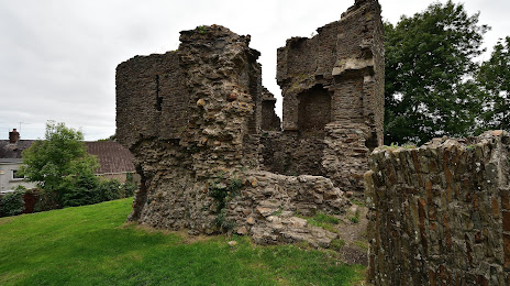
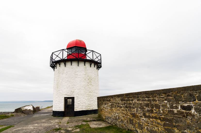
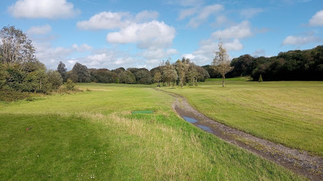
Attractions


Distance to the capital
Distance to the capital (London) is about — 279 km.