 Stockport
Scotland
Thirsk
Helmsley
Flintshire
Driffield
Portsmouth
Dover
Ipswich
Medstead
London
Margate
York
Saint Ives
Great Britain
Kingston upon Thames
Whitley Bay
Leicester
Ipswich
Stockport
Scotland
Thirsk
Helmsley
Flintshire
Driffield
Portsmouth
Dover
Ipswich
Medstead
London
Margate
York
Saint Ives
Great Britain
Kingston upon Thames
Whitley Bay
Leicester
Ipswich
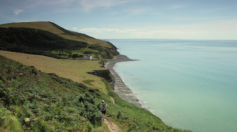
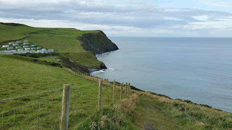
Aberystwyth on the map, United Kingdom
Where is located Aberystwyth
Exact location — Aberystwyth, Ceredigion, Wales, United Kingdom, marked on the map with a red marker.
Coordinates
Aberystwyth, United Kingdom coordinates in decimal format: latitude — 52.415303, longitude — -4.08292. When converted to degrees, minutes, seconds Aberystwyth has the following coordinates: 52°24′55.09 north latitude and -4°4′58.51 east longitude.
Population
Aberystwyth, Ceredigion, Wales, United Kingdom, according to our data the population is — 18,392 residents, which is about 0% of the total population of the country (United Kingdom).
Comparison of the population on the graph:
Exact time
Time zone for this location Aberystwyth — UTC +1 Europe/London. Exact time — wednesday, 4 april 2024 year, 20 h. 55 minutes.
Sunrise and sunset
Aberystwyth, sunrise and sunset data for a date — wednesday 24.04.2024.
| Sunrise | Sunset | Day (duration) |
|---|---|---|
| 06:01 -3 minutes | 20:26 +1 minute | 14 h. 24 minutes. +4 minutes |
You can control the scale of the map using the auxiliary tools to find out exactly where it is located Aberystwyth. When you change the scale of the map, the width of the ruler also changes (in kilometers and miles).
Nearby cities
The largest cities that are located nearby:
- Telford — 114 km
- Worcester — 129 km
- Liverpool — 131 km
- Dudley — 135 km
- West Bromwich — 141 km
- Stoke-on-Trent — 142 km
- Birmingham — 148 km
- Bristol — 148 km
- Cheltenham — 148 km
- Sutton Coldfield — 153 km
- Manchester — 169 km
- Coventry — 173 km
- Preston — 174 km
- Dublin
 (Ireland) — 177 km
 - Blackburn — 181 km
- Swindon — 185 km
- Exeter — 192 km
- Leicester — 199 km
- Sheffield — 203 km
Distance to neighboring capitals:
- Dublin (Ireland) — 179 km
- Paris
 (France) — 602 km
 - Paris (France) — 602 km
- Brussels
 (Belgium) — 607 km
 - Amsterdam
 (Netherlands) — 609 km
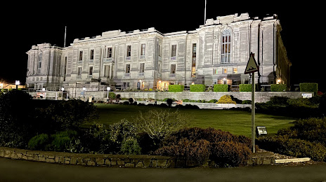
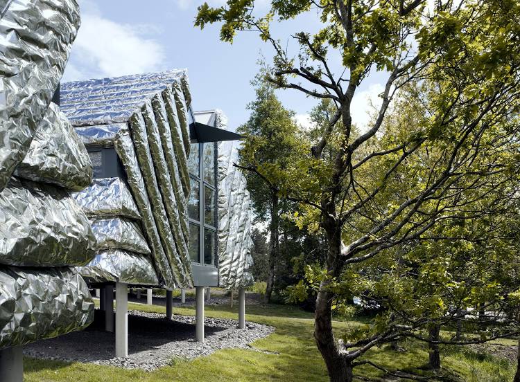
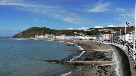
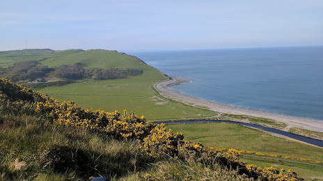
Attractions


Distance to the capital
Distance to the capital (London) is about — 289 km.