 Stokesley
Cheltenham
St Ives
Golborne
Wylam
Orkney
Warrington
Bedford
Malmesbury
Ipswich
Dover
Portsmouth
Driffield
Flintshire
Helmsley
Thirsk
Scotland
Stockport
Surrey
Stokesley
Cheltenham
St Ives
Golborne
Wylam
Orkney
Warrington
Bedford
Malmesbury
Ipswich
Dover
Portsmouth
Driffield
Flintshire
Helmsley
Thirsk
Scotland
Stockport
Surrey
Canterbury on the map, United Kingdom
Where is located Canterbury
Exact location — Canterbury, Kent, England, United Kingdom, marked on the map with a red marker.
Coordinates
Canterbury, United Kingdom coordinates in decimal format: latitude — 51.280233, longitude — 1.0789089. When converted to degrees, minutes, seconds Canterbury has the following coordinates: 51°16′48.84 north latitude and 1°4′44.07 east longitude.
Population
Canterbury, Kent, England, United Kingdom, according to our data the population is — 46,978 residents, which is about 0.1% of the total population of the country (United Kingdom).
Comparison of the population on the graph:
Exact time
Time zone for this location Canterbury — UTC +1 Europe/London. Exact time — wednesday, 4 april 2024 year, 09 h. 36 minutes.
Sunrise and sunset
Canterbury, sunrise and sunset data for a date — wednesday 24.04.2024.
| Sunrise | Sunset | Day (duration) |
|---|---|---|
| 05:44 -2 minutes | 20:03 +2 minutes | 14 h. 18 minutes. +4 minutes |
You can control the scale of the map using the auxiliary tools to find out exactly where it is located Canterbury. When you change the scale of the map, the width of the ruler also changes (in kilometers and miles).
Nearby cities
The largest cities that are located nearby:
- Gillingham — 38 km
- Southend-on-Sea — 39 km
- Basildon — 52 km
- Chelmsford — 65 km
- Eastbourne — 79 km
- Ipswich — 86 km
- Sutton — 88 km
- Crawley — 90 km
- Watford — 109 km
- Slough — 118 km
- Cambridge — 121 km
- Luton — 122 km
- Reading — 143 km
- Norwich — 150 km
- Lille
 (France) — 156 km
 - Portsmouth — 160 km
- Oxford — 168 km
- Northampton — 171 km
- Amiens (France) — 176 km
Distance to neighboring capitals:
- Brussels
 (Belgium) — 234 km
 - Paris (France) — 284 km
- Paris (France) — 284 km
- Amsterdam
 (Netherlands) — 289 km
 - Dublin
 (Ireland) — 549 km
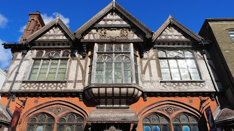
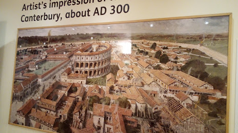
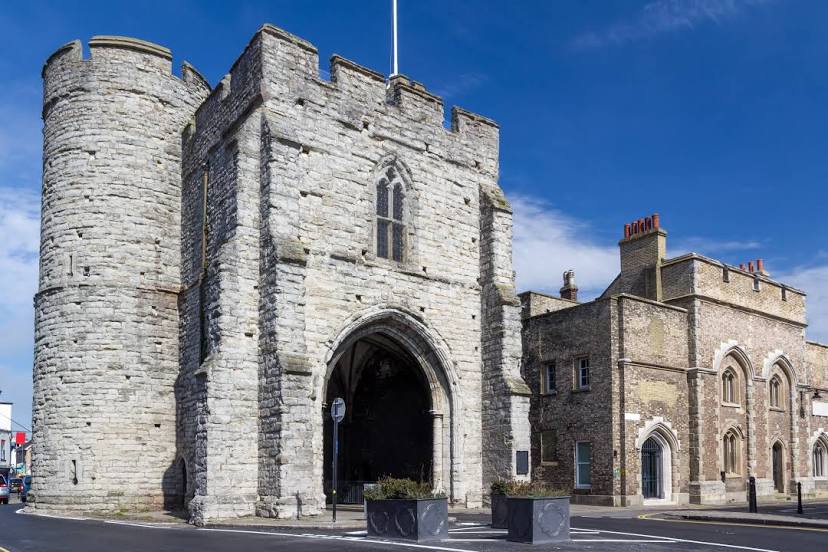
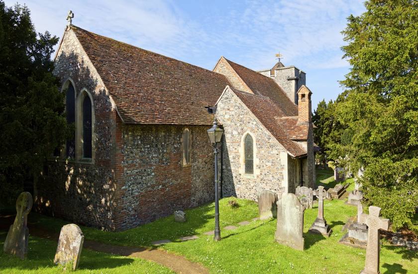
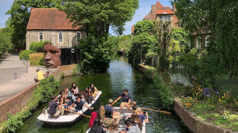
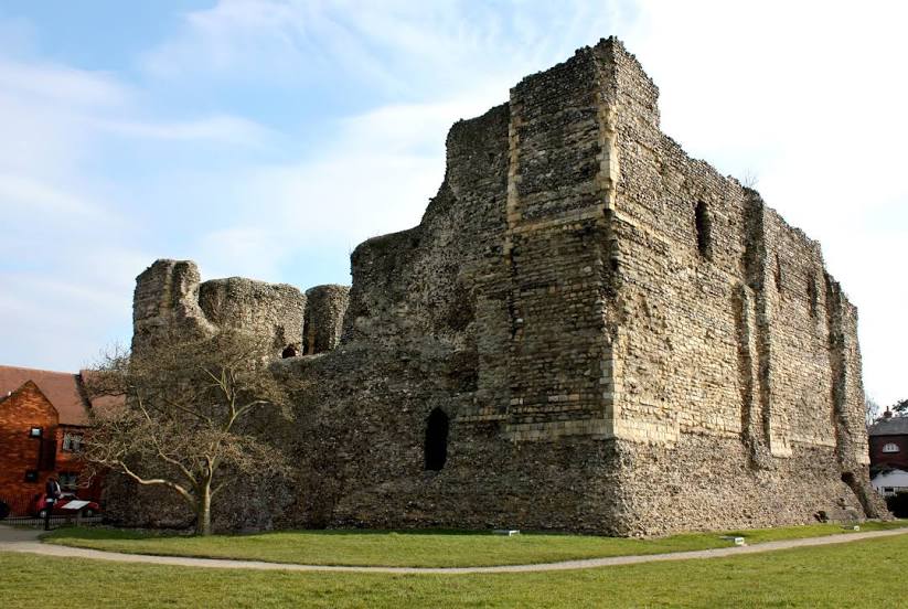
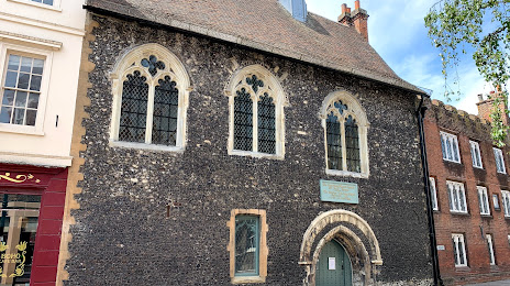
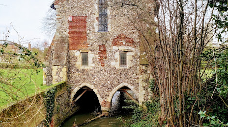
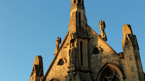
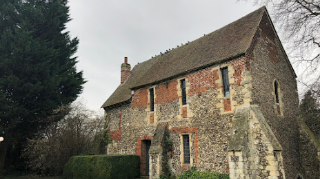
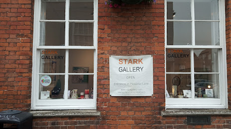
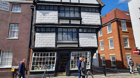
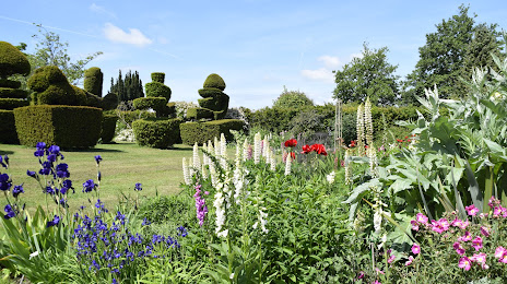
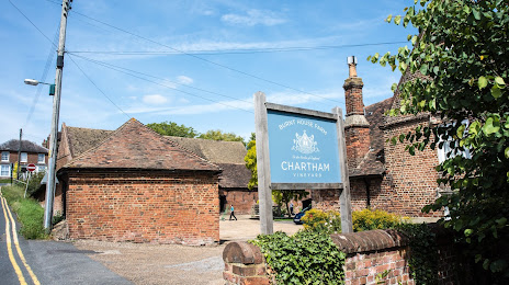
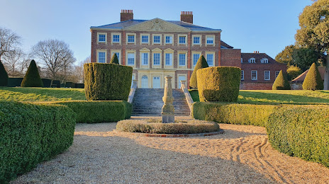
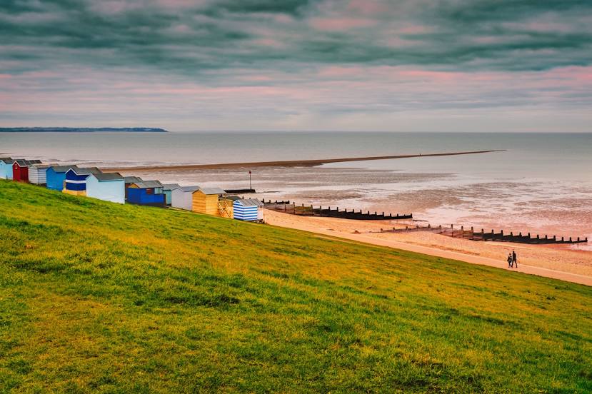
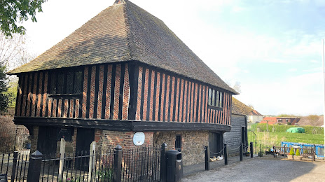
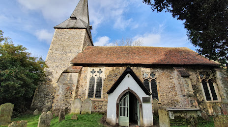
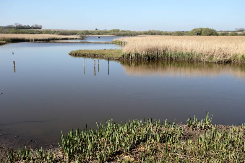
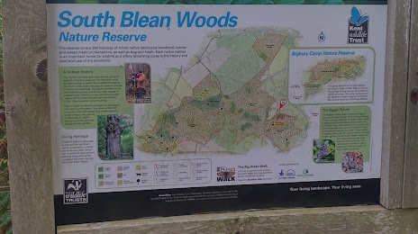
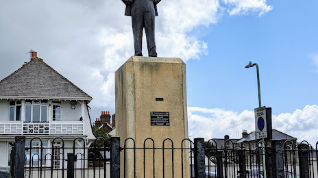
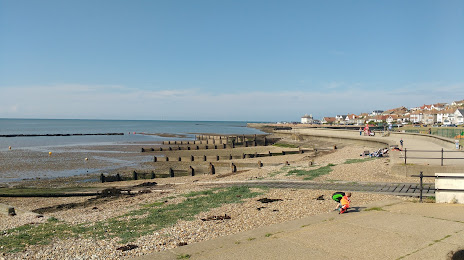
Attractions


Distance to the capital
Distance to the capital (London) is about — 87 km.