 Sedgefield
Bath
Bridgend
London
Enfield Town
Bristol
St Austell
Milford on Sea
Canterbury
Middlesbrough
Guay
United Kingdom
Portsmouth
Chudleigh
Halberton
Ringwood
Bournemouth
Southampton
Folkestone
Sedgefield
Bath
Bridgend
London
Enfield Town
Bristol
St Austell
Milford on Sea
Canterbury
Middlesbrough
Guay
United Kingdom
Portsmouth
Chudleigh
Halberton
Ringwood
Bournemouth
Southampton
Folkestone
Telford on the map, United Kingdom
Where is located Telford
Exact location — Telford, Telford and Wrekin, England, UK, marked on the map with a red marker.
Coordinates
Telford, United Kingdom coordinates in decimal format: latitude — 52.678419, longitude — -2.445258. When converted to degrees, minutes, seconds Telford has the following coordinates: 52°40′42.31 north latitude and -2°26′42.93 east longitude.
Population
Telford, Telford and Wrekin, England, UK, according to our data the population is — 138,241 residents, which is about 0.2% of the total population of the country (United Kingdom).
Comparison of the population on the graph:
Exact time
Time zone for this location Telford — UTC +1 Europe/London. Exact time — tuesday, 4 april 2024 year, 13 h. 25 minutes.
Sunrise and sunset
Telford, sunrise and sunset data for a date — tuesday 23.04.2024.
| Sunrise | Sunset | Day (duration) |
|---|---|---|
| 05:56 -2 minutes | 20:19 +2 minutes | 14 h. 24 minutes. +4 minutes |
You can control the scale of the map using the auxiliary tools to find out exactly where it is located Telford. When you change the scale of the map, the width of the ruler also changes (in kilometers and miles).
Nearby cities
The largest cities that are located nearby:
- Dudley — 31 km
- West Bromwich — 35 km
- Stoke-on-Trent — 40 km
- Birmingham — 43 km
- Sutton Coldfield — 43 km
- Worcester — 56 km
- Coventry — 69 km
- Leicester — 88 km
- Liverpool — 88 km
- Cheltenham — 90 km
- Manchester — 90 km
- Sheffield — 101 km
- Rotherham — 110 km
- Northampton — 115 km
- Huddersfield — 115 km
- Blackburn — 118 km
- Preston — 121 km
- Oxford — 131 km
- Swindon — 132 km
Distance to neighboring capitals:
- Dublin
 (Ireland) — 266 km
 - Amsterdam
 (Netherlands) — 498 km
 - Brussels
 (Belgium) — 510 km
 - Paris
 (France) — 543 km
 - Paris (France) — 543 km
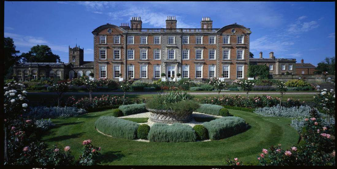
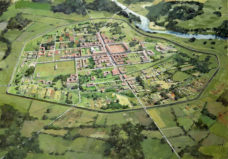
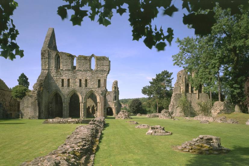
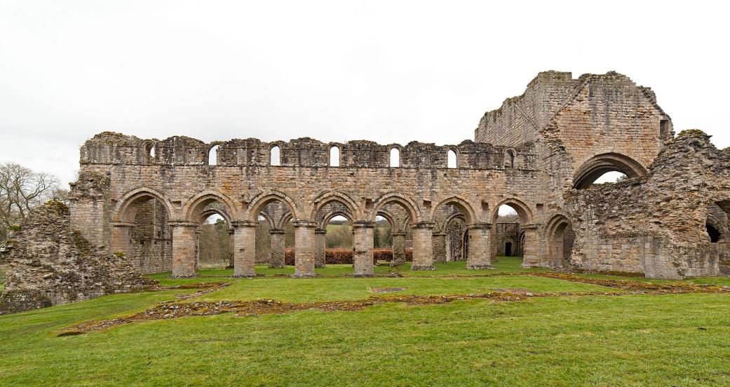
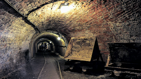
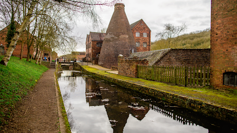
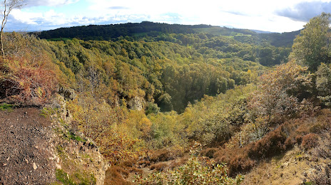
Attractions


Distance to the capital
Distance to the capital (London) is about — 205 km.