 Berkeley
Kendal
Marham
Portmeirion
Blackburn
Forth
Saint Albans
Sutton
Lakenheath
England
Winsor
Edinburgh
Deal
Brighton
Cheshunt
Olney
Canterbury
Milford on Sea
St Austell
Berkeley
Kendal
Marham
Portmeirion
Blackburn
Forth
Saint Albans
Sutton
Lakenheath
England
Winsor
Edinburgh
Deal
Brighton
Cheshunt
Olney
Canterbury
Milford on Sea
St Austell
Doncaster on the map, United Kingdom
Where is located Doncaster
Exact location — Doncaster, South Yorkshire, England, United Kingdom, marked on the map with a red marker.
Coordinates
Doncaster, United Kingdom coordinates in decimal format: latitude — 53.52282, longitude — -1.128462. When converted to degrees, minutes, seconds Doncaster has the following coordinates: 53°31′22.15 north latitude and -1°7′42.46 east longitude.
Population
Doncaster, South Yorkshire, England, United Kingdom, according to our data the population is — 67,670 residents, which is about 0.1% of the total population of the country (United Kingdom).
Comparison of the population on the graph:
Exact time
Time zone for this location Doncaster — UTC +1 Europe/London. Exact time — friday, 4 april 2024 year, 07 h. 41 minute.
Sunrise and sunset
Doncaster, sunrise and sunset data for a date — friday 19.04.2024.
| Sunrise | Sunset | Day (duration) |
|---|---|---|
| 05:58 -2 minutes | 20:09 +2 minutes | 14 h. 12 minutes. +4 minutes |
You can control the scale of the map using the auxiliary tools to find out exactly where it is located Doncaster. When you change the scale of the map, the width of the ruler also changes (in kilometers and miles).
Nearby cities
The largest cities that are located nearby:
- Rotherham — 18 km
- Sheffield — 27 km
- Huddersfield — 45 km
- Manchester — 73 km
- Stoke-on-Trent — 91 km
- Blackburn — 92 km
- Leicester — 98 km
- Preston — 106 km
- Sutton Coldfield — 115 km
- Liverpool — 123 km
- West Bromwich — 125 km
- Birmingham — 126 km
- Coventry — 126 km
- Telford — 128 km
- Dudley — 129 km
- Northampton — 143 km
- Sunderland — 154 km
- Worcester — 165 km
- Cambridge — 169 km
Distance to neighboring capitals:
- Dublin
 (Ireland) — 341 km
 - Amsterdam
 (Netherlands) — 423 km
 - Brussels
 (Belgium) — 477 km
 - Paris
 (France) — 573 km
 - Paris (France) — 573 km
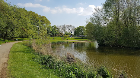
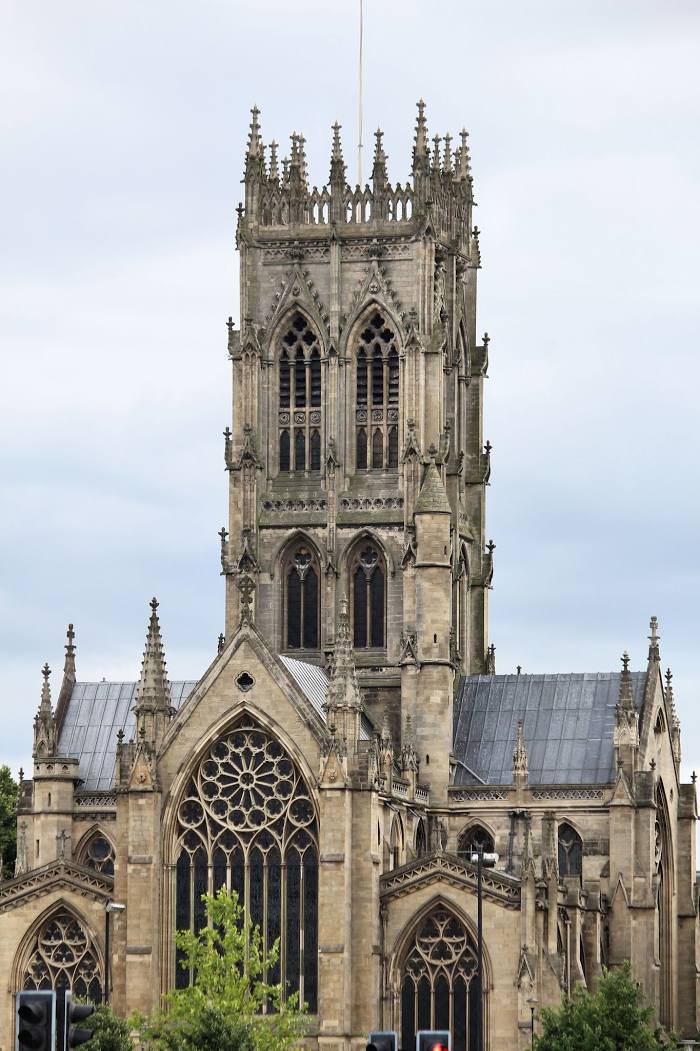
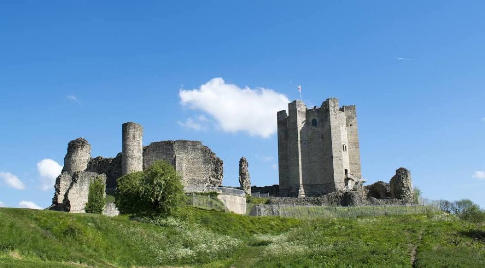
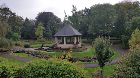
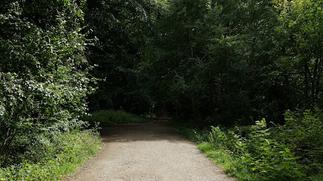
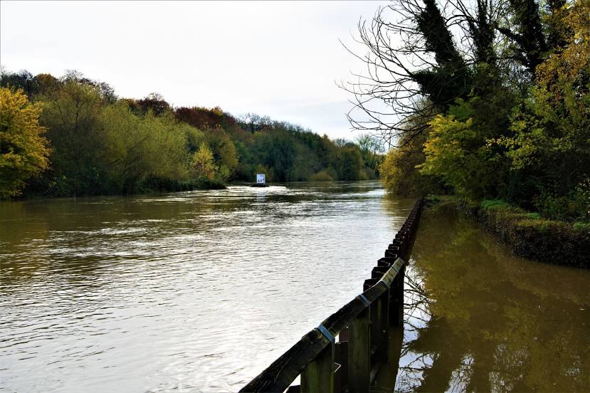
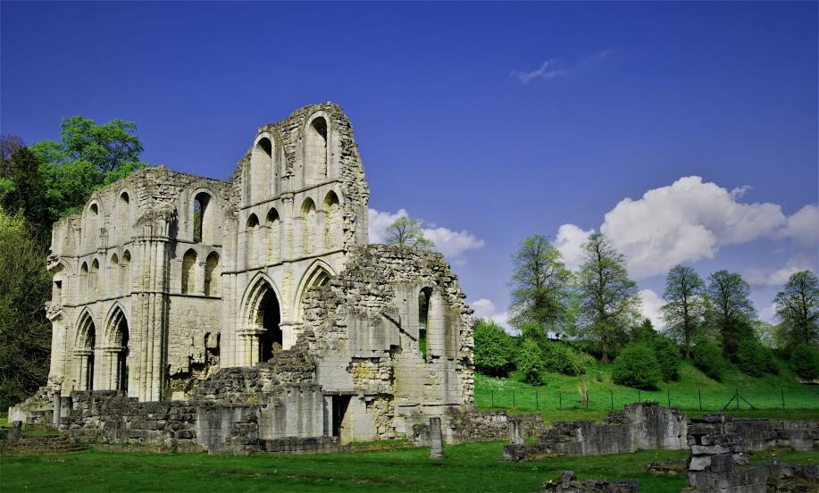
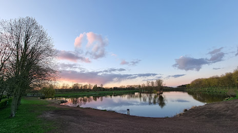
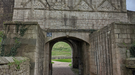
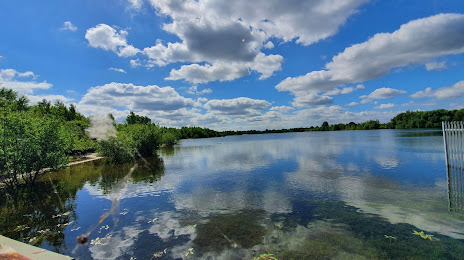
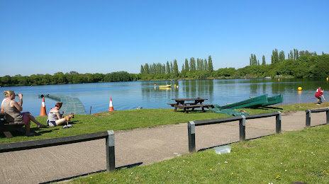
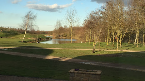
Attractions


Distance to the capital
Distance to the capital (London) is about — 234 km.