 Sutton
Lakenheath
Newbiggin-on-Lune
Ashford
Bury Saint Edmunds
Eastbourne
Ely
Bourne
West Bridgford
Dunsfold
Thornton
伯斯
Goathland
Bathampton
Alvington
Ruabon
England
Winsor
Edinburgh
Sutton
Lakenheath
Newbiggin-on-Lune
Ashford
Bury Saint Edmunds
Eastbourne
Ely
Bourne
West Bridgford
Dunsfold
Thornton
伯斯
Goathland
Bathampton
Alvington
Ruabon
England
Winsor
Edinburgh
Thetford on the map, United Kingdom
Where is located Thetford
Exact location — Thetford, Norfolk, England, United Kingdom, marked on the map with a red marker.
Coordinates
Thetford, United Kingdom coordinates in decimal format: latitude — 52.412856, longitude — 0.751657. When converted to degrees, minutes, seconds Thetford has the following coordinates: 52°24′46.28 north latitude and 0°45′5.97 east longitude.
Population
Thetford, Norfolk, England, United Kingdom, according to our data the population is — 21,588 residents, which is about 0% of the total population of the country (United Kingdom).
Comparison of the population on the graph:
Exact time
Time zone for this location Thetford — UTC +1 Europe/London. Exact time — thursday, 4 april 2024 year, 20 h. 05 minutes.
Sunrise and sunset
Thetford, sunrise and sunset data for a date — thursday 18.04.2024.
| Sunrise | Sunset | Day (duration) |
|---|---|---|
| 05:55 -2 minutes | 19:57 +2 minutes | 14 h. 0 minutes. +4 minutes |
You can control the scale of the map using the auxiliary tools to find out exactly where it is located Thetford. When you change the scale of the map, the width of the ruler also changes (in kilometers and miles).
Nearby cities
The largest cities that are located nearby:
- Norwich — 44 km
- Ipswich — 48 km
- Cambridge — 48 km
- Chelmsford — 77 km
- Basildon — 94 km
- Southend-on-Sea — 96 km
- Luton — 99 km
- Northampton — 114 km
- Gillingham — 114 km
- Watford — 115 km
- Leicester — 129 km
- Sutton — 133 km
- Slough — 136 km
- Coventry — 153 km
- Oxford — 156 km
- Crawley — 158 km
- Reading — 159 km
- Sutton Coldfield — 174 km
- Birmingham — 178 km
Distance to neighboring capitals:
- Amsterdam
 (Netherlands) — 281 km
 - Brussels
 (Belgium) — 303 km
 - Paris
 (France) — 411 km
 - Paris (France) — 411 km
- Dublin
 (Ireland) — 482 km
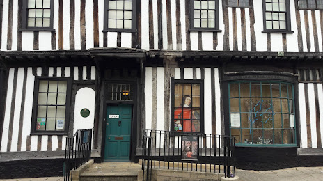
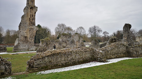
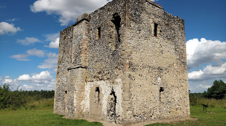
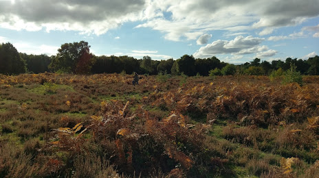
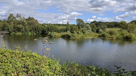
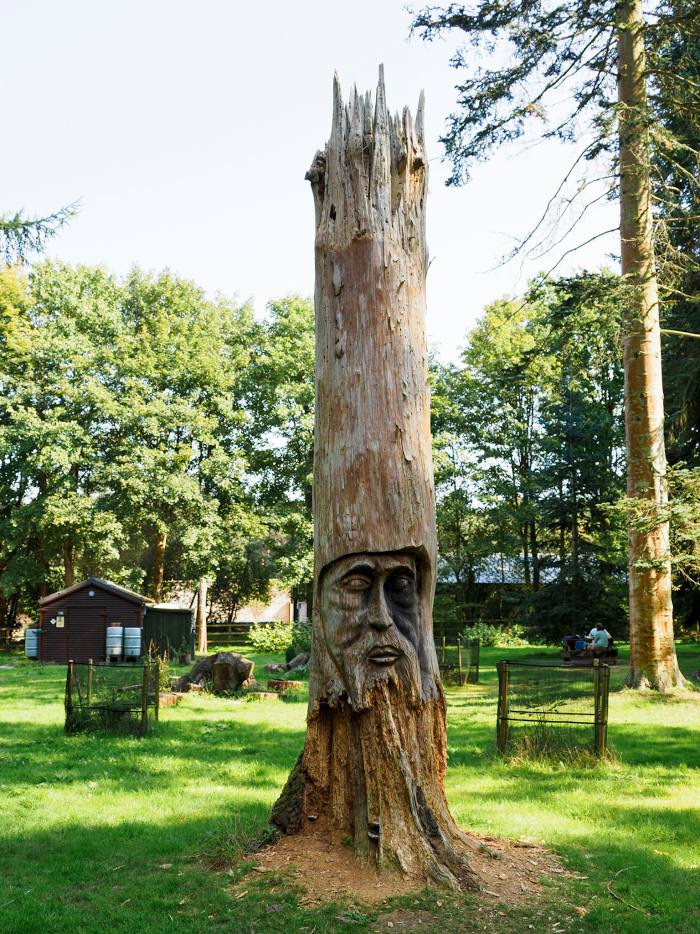
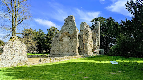
Attractions


Distance to the capital
Distance to the capital (London) is about — 117 km.