 Kyleakin
Totnes
Arbroath
Midhurst
Scarborough
Lopen
Hemel Hempstead
Altham
Lancashire
Holmes Chapel
Saint Andrews
Uttoxeter
Holbeck
Thetford
Kinross
Great Yarmouth
Poole
Sidmouth
Sandford
Kyleakin
Totnes
Arbroath
Midhurst
Scarborough
Lopen
Hemel Hempstead
Altham
Lancashire
Holmes Chapel
Saint Andrews
Uttoxeter
Holbeck
Thetford
Kinross
Great Yarmouth
Poole
Sidmouth
Sandford
Ashford on the map, United Kingdom
Where is located Ashford
Exact location — Ashford, Kent, England, United Kingdom, marked on the map with a red marker.
Coordinates
Ashford, United Kingdom coordinates in decimal format: latitude — 51.1464659, longitude — 0.875019. When converted to degrees, minutes, seconds Ashford has the following coordinates: 51°8′47.28 north latitude and 0°52′30.07 east longitude.
Population
Ashford, Kent, England, United Kingdom, according to our data the population is — 62,787 residents, which is about 0.1% of the total population of the country (United Kingdom).
Comparison of the population on the graph:
Exact time
Time zone for this location Ashford — UTC +1 Europe/London. Exact time — thursday, 4 april 2024 year, 09 h. 52 minutes.
Sunrise and sunset
Ashford, sunrise and sunset data for a date — thursday 25.04.2024.
| Sunrise | Sunset | Day (duration) |
|---|---|---|
| 05:43 -2 minutes | 20:05 +2 minutes | 14 h. 24 minutes. +4 minutes |
You can control the scale of the map using the auxiliary tools to find out exactly where it is located Ashford. When you change the scale of the map, the width of the ruler also changes (in kilometers and miles).
Nearby cities
The largest cities that are located nearby:
- Gillingham — 35 km
- Southend-on-Sea — 46 km
- Basildon — 54 km
- Eastbourne — 58 km
- Chelmsford — 71 km
- Crawley — 74 km
- Sutton — 78 km
- Ipswich — 102 km
- Watford — 104 km
- Slough — 109 km
- Luton — 120 km
- Cambridge — 128 km
- Reading — 132 km
- Portsmouth — 142 km
- Oxford — 161 km
- Southampton — 161 km
- Lille
 (France) — 163 km
 - Norwich — 167 km
- Northampton — 171 km
Distance to neighboring capitals:
- Brussels
 (Belgium) — 246 km
 - Paris (France) — 276 km
- Paris (France) — 276 km
- Amsterdam
 (Netherlands) — 308 km
 - Dublin
 (Ireland) — 544 km
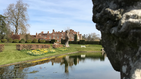
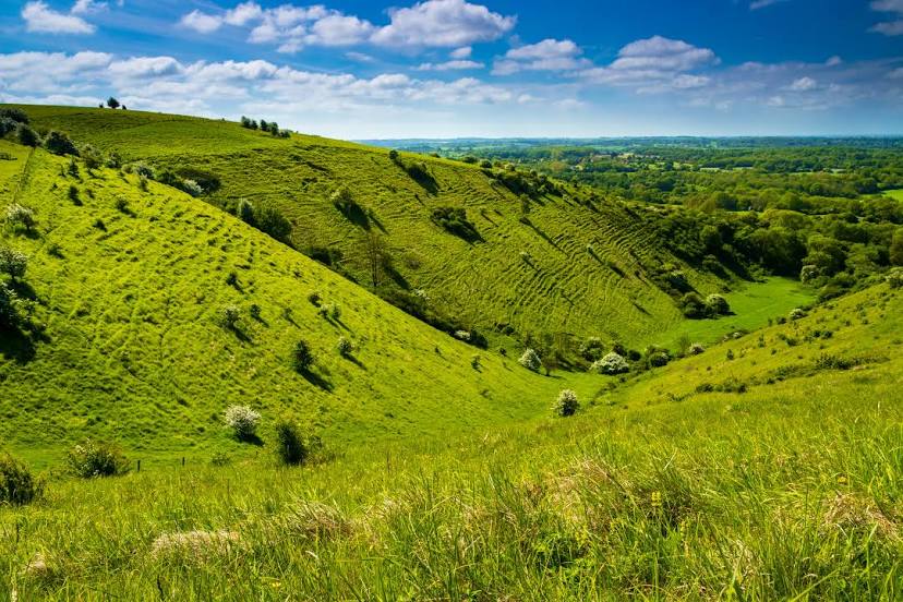
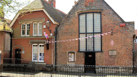
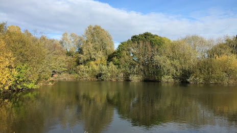
Attractions


Distance to the capital
Distance to the capital (London) is about — 80 km.