 Haworth
Winchester
Inverurie
Langbank
Jameston
Wasing
Armagh
Dartmouth
Halifax
Newbiggin-on-Lune
Lakenheath
Sutton
Saint Albans
Forth
Blackburn
Portmeirion
Marham
Kendal
Berkeley
Haworth
Winchester
Inverurie
Langbank
Jameston
Wasing
Armagh
Dartmouth
Halifax
Newbiggin-on-Lune
Lakenheath
Sutton
Saint Albans
Forth
Blackburn
Portmeirion
Marham
Kendal
Berkeley
Lincoln on the map, United Kingdom
Where is located Lincoln
Exact location — Lincoln, Lincolnshire, England, United Kingdom, marked on the map with a red marker.
Coordinates
Lincoln, United Kingdom coordinates in decimal format: latitude — 53.230688, longitude — -0.540579. When converted to degrees, minutes, seconds Lincoln has the following coordinates: 53°13′50.48 north latitude and -0°32′26.08 east longitude.
Population
Lincoln, Lincolnshire, England, United Kingdom, according to our data the population is — 89,228 residents, which is about 0.1% of the total population of the country (United Kingdom).
Comparison of the population on the graph:
Exact time
Time zone for this location Lincoln — UTC +1 Europe/London. Exact time — saturday, 4 april 2024 year, 12 h. 12 minutes.
Sunrise and sunset
Lincoln, sunrise and sunset data for a date — saturday 20.04.2024.
| Sunrise | Sunset | Day (duration) |
|---|---|---|
| 05:54 -2 minutes | 20:07 +2 minutes | 14 h. 12 minutes. +4 minutes |
You can control the scale of the map using the auxiliary tools to find out exactly where it is located Lincoln. When you change the scale of the map, the width of the ruler also changes (in kilometers and miles).
Nearby cities
The largest cities that are located nearby:
- Rotherham — 59 km
- Sheffield — 64 km
- Leicester — 77 km
- Huddersfield — 94 km
- Stoke-on-Trent — 112 km
- Northampton — 112 km
- Coventry — 113 km
- Sutton Coldfield — 113 km
- Manchester — 115 km
- Cambridge — 122 km
- Birmingham — 123 km
- West Bromwich — 126 km
- Dudley — 131 km
- Blackburn — 140 km
- Norwich — 140 km
- Telford — 142 km
- Luton — 150 km
- Preston — 153 km
- Worcester — 162 km
Distance to neighboring capitals:
- Amsterdam
 (Netherlands) — 378 km
 - Dublin
 (Ireland) — 380 km
 - Brussels
 (Belgium) — 427 km
 - Paris
 (France) — 527 km
 - Paris (France) — 527 km
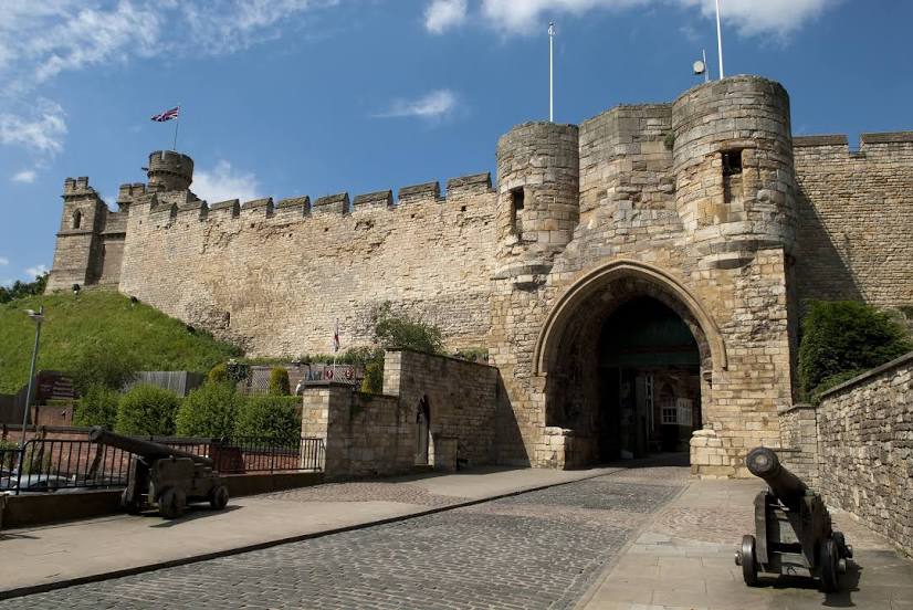
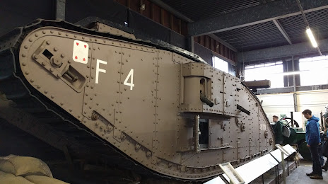
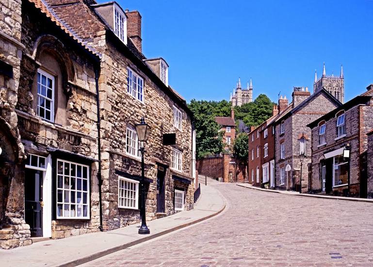
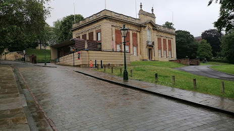
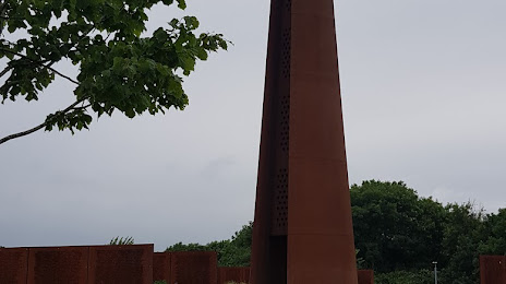
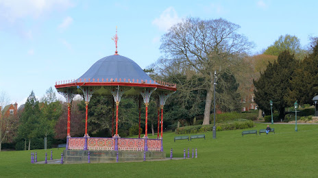
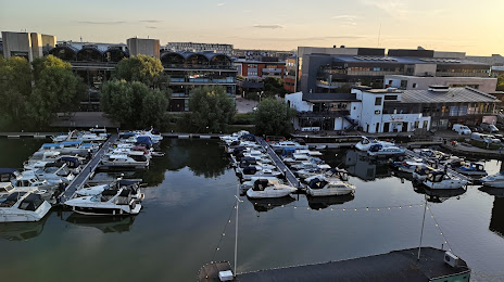
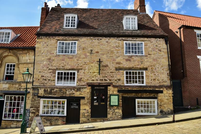
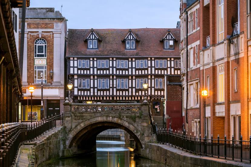
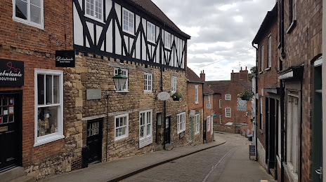
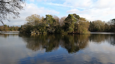
Attractions


Distance to the capital
Distance to the capital (London) is about — 194 km.