 Halifax
Chelmsford
Newport
Enfield
Edge Hill
Ripon
Ross-on-Wye
Fort William
Lenham
Lancaster
Cardiff
West Bridgford
Bourne
Ely
Eastbourne
Bury Saint Edmunds
Ashford
Newbiggin-on-Lune
Lakenheath
Halifax
Chelmsford
Newport
Enfield
Edge Hill
Ripon
Ross-on-Wye
Fort William
Lenham
Lancaster
Cardiff
West Bridgford
Bourne
Ely
Eastbourne
Bury Saint Edmunds
Ashford
Newbiggin-on-Lune
Lakenheath
Hemel Hempstead on the map, United Kingdom
Where is located Hemel Hempstead
Exact location — Hemel Hempstead, Hertfordshire, England, United Kingdom, marked on the map with a red marker.
Coordinates
Hemel Hempstead, United Kingdom coordinates in decimal format: latitude — 51.753241, longitude — -0.448632. When converted to degrees, minutes, seconds Hemel Hempstead has the following coordinates: 51°45′11.67 north latitude and -0°26′55.08 east longitude.
Population
Hemel Hempstead, Hertfordshire, England, United Kingdom, according to our data the population is — 85,629 residents, which is about 0.1% of the total population of the country (United Kingdom).
Comparison of the population on the graph:
Exact time
Time zone for this location Hemel Hempstead — UTC +1 Europe/London. Exact time — friday, 4 april 2024 year, 00 h. 29 minutes.
Sunrise and sunset
Hemel Hempstead, sunrise and sunset data for a date — friday 19.04.2024.
| Sunrise | Sunset | Day (duration) |
|---|---|---|
| 05:59 -2 minutes | 20:02 +2 minutes | 14 h. 6 minutes. +4 minutes |
You can control the scale of the map using the auxiliary tools to find out exactly where it is located Hemel Hempstead. When you change the scale of the map, the width of the ruler also changes (in kilometers and miles).
Nearby cities
The largest cities that are located nearby:
- Watford — 11 km
- Luton — 14 km
- Slough — 29 km
- Sutton — 47 km
- Reading — 49 km
- Oxford — 55 km
- Northampton — 62 km
- Chelmsford — 63 km
- Cambridge — 63 km
- Basildon — 67 km
- Crawley — 73 km
- Gillingham — 80 km
- Southend-on-Sea — 83 km
- Swindon — 94 km
- Coventry — 102 km
- Leicester — 108 km
- Cheltenham — 112 km
- Portsmouth — 112 km
- Ipswich — 114 km
Distance to neighboring capitals:
- Brussels
 (Belgium) — 349 km
 - Amsterdam
 (Netherlands) — 372 km
 - Paris
 (France) — 379 km
 - Paris (France) — 379 km
- Dublin
 (Ireland) — 431 km
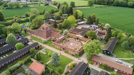
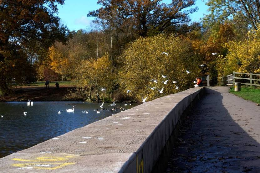
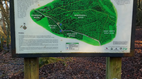
Attractions


Distance to the capital
Distance to the capital (London) is about — 35 km.