 Northwood
Crowthorne
Liverpool
Southall
Finchampstead
Midsomer Norton
West Molesey
Windermere
Sutton Coldfield
Northwood
Crowthorne
Liverpool
Southall
Finchampstead
Midsomer Norton
West Molesey
Windermere
Sutton Coldfield
Bury on the map, United Kingdom
Where is located Bury
Exact location — Bury, Greater Manchester, England, United Kingdom, marked on the map with a red marker.
Coordinates
Bury, United Kingdom coordinates in decimal format: latitude — 53.5933498, longitude — -2.2966054. When converted to degrees, minutes, seconds Bury has the following coordinates: 53°35′36.06 north latitude and -2°17′47.78 east longitude.
Population
Bury, Greater Manchester, England, United Kingdom, according to our data the population is — 61,045 residents, which is about 0.1% of the total population of the country (United Kingdom).
Comparison of the population on the graph:
Exact time
Time zone for this location Bury — UTC +1 Europe/London. Exact time — friday, 4 april 2024 year, 03 h. 31 minute.
Sunrise and sunset
Bury, sunrise and sunset data for a date — friday 19.04.2024.
| Sunrise | Sunset | Day (duration) |
|---|---|---|
| 06:02 -2 minutes | 20:13 +1 minute | 14 h. 12 minutes. +3 minutes |
You can control the scale of the map using the auxiliary tools to find out exactly where it is located Bury. When you change the scale of the map, the width of the ruler also changes (in kilometers and miles).
Nearby cities
The largest cities that are located nearby:
- Manchester — 13 km
- Blackburn — 21 km
- Preston — 33 km
- Huddersfield — 34 km
- Liverpool — 50 km
- Sheffield — 59 km
- Rotherham — 64 km
- Stoke-on-Trent — 66 km
- Telford — 102 km
- Sutton Coldfield — 117 km
- Dudley — 120 km
- West Bromwich — 121 km
- Birmingham — 125 km
- Leicester — 131 km
- Coventry — 141 km
- Worcester — 155 km
- Sunderland — 156 km
- Northampton — 177 km
- Cheltenham — 188 km
Distance to neighboring capitals:
- Dublin
 (Ireland) — 264 km
 - Amsterdam
 (Netherlands) — 500 km
 - Brussels
 (Belgium) — 546 km
 - Paris
 (France) — 618 km
 - Paris (France) — 618 km
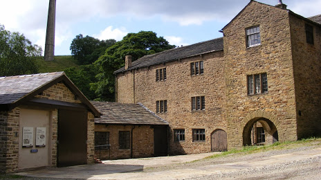
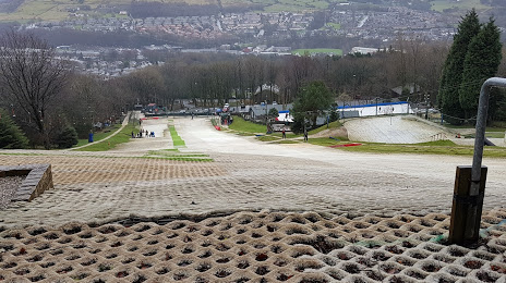
Attractions


Distance to the capital
Distance to the capital (London) is about — 274 km.