 Hickstead
Brechin
Wigan
Harwich
Bodmin
Beer
Maidenhead
Yaxley
Uxbridge
Inverurie
Winchester
Haworth
Denton
Lancashire
Altham
Hemel Hempstead
Lopen
Scarborough
Midhurst
Hickstead
Brechin
Wigan
Harwich
Bodmin
Beer
Maidenhead
Yaxley
Uxbridge
Inverurie
Winchester
Haworth
Denton
Lancashire
Altham
Hemel Hempstead
Lopen
Scarborough
Midhurst
Ripon on the map, United Kingdom
Where is located Ripon
Exact location — Ripon, North Yorkshire, England, United Kingdom, marked on the map with a red marker.
Coordinates
Ripon, United Kingdom coordinates in decimal format: latitude — 54.1361346, longitude — -1.5237756. When converted to degrees, minutes, seconds Ripon has the following coordinates: 54°8′10.08 north latitude and -1°31′25.59 east longitude.
Population
Ripon, North Yorkshire, England, United Kingdom, according to our data the population is — 16,835 residents, which is about 0% of the total population of the country (United Kingdom).
Comparison of the population on the graph:
Exact time
Time zone for this location Ripon — UTC +1 Europe/London. Exact time — thursday, 4 april 2024 year, 08 h. 28 minutes.
Sunrise and sunset
Ripon, sunrise and sunset data for a date — thursday 25.04.2024.
| Sunrise | Sunset | Day (duration) |
|---|---|---|
| 05:44 -2 minutes | 20:23 +2 minutes | 14 h. 42 minutes. +4 minutes |
You can control the scale of the map using the auxiliary tools to find out exactly where it is located Ripon. When you change the scale of the map, the width of the ruler also changes (in kilometers and miles).
Nearby cities
The largest cities that are located nearby:
- Huddersfield — 57 km
- Blackburn — 76 km
- Rotherham — 78 km
- Sheffield — 84 km
- Sunderland — 86 km
- Manchester — 87 km
- Preston — 87 km
- Liverpool — 126 km
- Stoke-on-Trent — 133 km
- Leicester — 168 km
- Telford — 173 km
- Sutton Coldfield — 174 km
- West Bromwich — 182 km
- Dudley — 183 km
- Birmingham — 184 km
- Coventry — 191 km
- Northampton — 214 km
- Worcester — 220 km
- Edinburgh — 226 km
Distance to neighboring capitals:
- Dublin
 (Ireland) — 324 km
 - Amsterdam
 (Netherlands) — 470 km
 - Brussels
 (Belgium) — 540 km
 - Paris
 (France) — 645 km
 - Paris (France) — 645 km
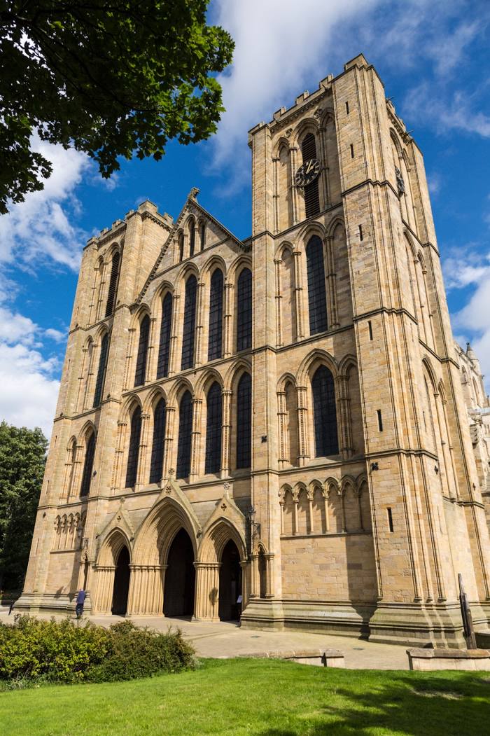
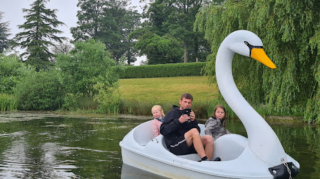
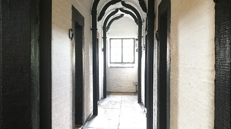
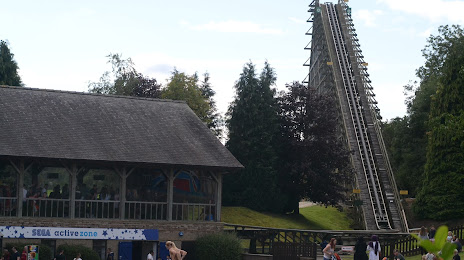
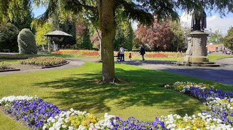
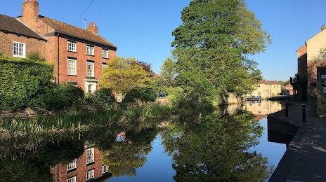
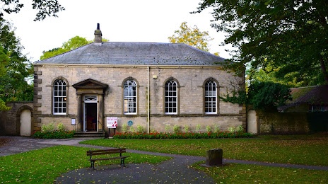
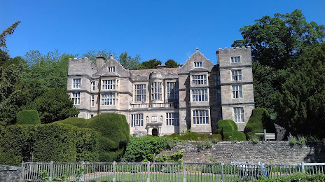
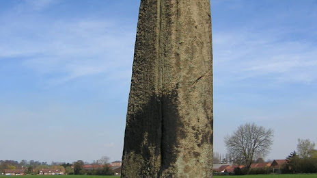
Attractions


Distance to the capital
Distance to the capital (London) is about — 307 km.