 Liverpool
Southall
Finchampstead
Midsomer Norton
West Molesey
Windermere
Sutton Coldfield
Stanmore
Stourbridge
Liverpool
Southall
Finchampstead
Midsomer Norton
West Molesey
Windermere
Sutton Coldfield
Stanmore
Stourbridge
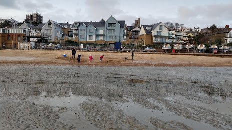
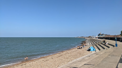
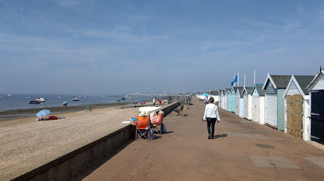
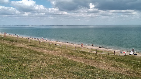
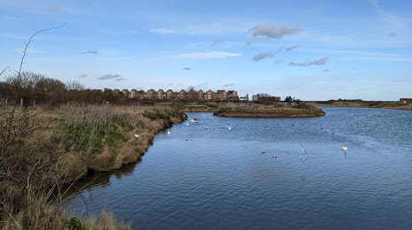
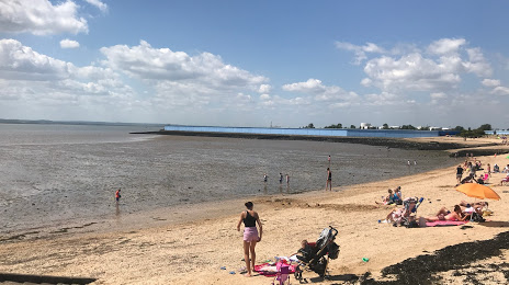
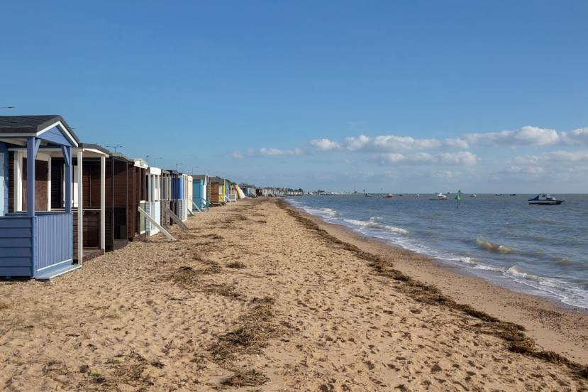
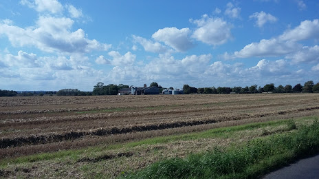
Southend-on-Sea on the map, United Kingdom
Where is located Southend-on-Sea
Exact location — Southend-on-Sea, Southend-on-Sea, England, United Kingdom, marked on the map with a red marker.
Coordinates
Southend-on-Sea, United Kingdom coordinates in decimal format: latitude — 51.5459269, longitude — 0.7077123. When converted to degrees, minutes, seconds Southend-on-Sea has the following coordinates: 51°32′45.34 north latitude and 0°42′27.76 east longitude.
Population
Southend-on-Sea, Southend-on-Sea, England, United Kingdom, according to our data the population is — 163,378 residents, which is about 0.2% of the total population of the country (United Kingdom).
Comparison of the population on the graph:
Exact time
Time zone for this location Southend-on-Sea — UTC +1 Europe/London. Exact time — thursday, 4 april 2024 year, 20 h. 33 minutes.
Sunrise and sunset
Southend-on-Sea, sunrise and sunset data for a date — thursday 25.04.2024.
| Sunrise | Sunset | Day (duration) |
|---|---|---|
| 05:43 -2 minutes | 20:06 +1 minute | 14 h. 24 minutes. +3 minutes |
You can control the scale of the map using the auxiliary tools to find out exactly where it is located Southend-on-Sea. When you change the scale of the map, the width of the ruler also changes (in kilometers and miles).
Nearby cities
The largest cities that are located nearby:
- Basildon — 15 km
- Gillingham — 21 km
- Chelmsford — 27 km
- Ipswich — 64 km
- Sutton — 66 km
- Watford — 76 km
- Crawley — 79 km
- Cambridge — 83 km
- Luton — 85 km
- Slough — 90 km
- Eastbourne — 91 km
- Reading — 117 km
- Norwich — 126 km
- Northampton — 133 km
- Oxford — 136 km
- Portsmouth — 149 km
- Southampton — 163 km
- Swindon — 171 km
- Leicester — 173 km
Distance to neighboring capitals:
- Brussels
 (Belgium) — 265 km
 - Amsterdam
 (Netherlands) — 301 km
 - Paris
 (France) — 321 km
 - Paris (France) — 321 km
- Dublin
 (Ireland) — 513 km
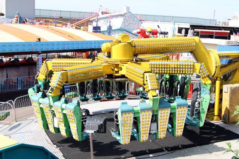
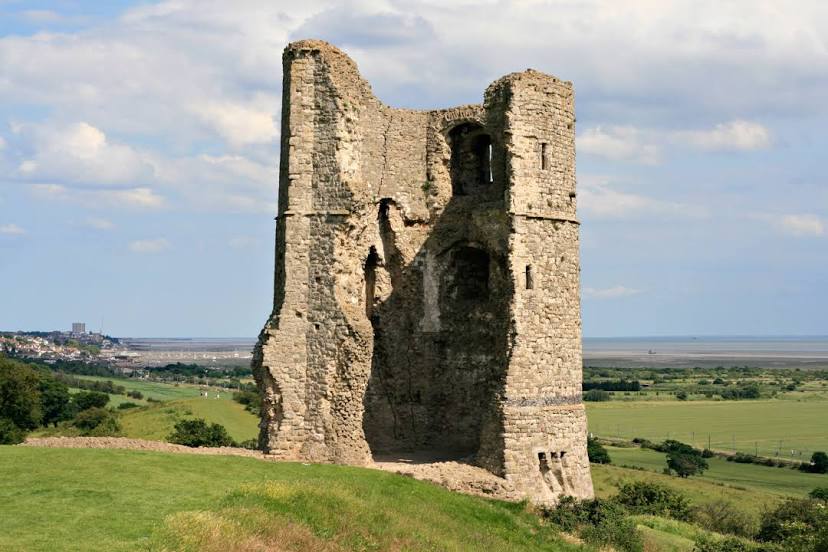
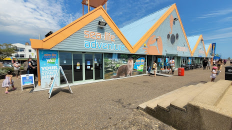
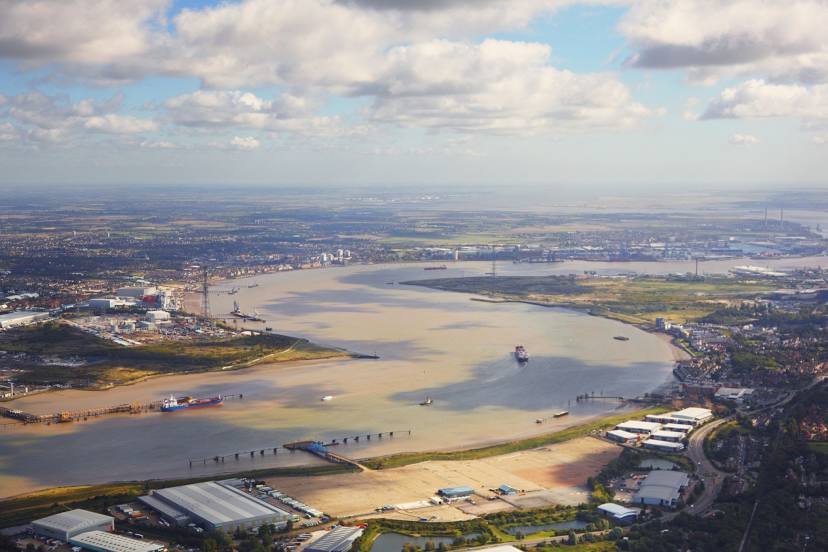
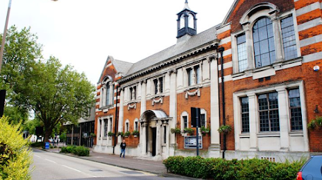
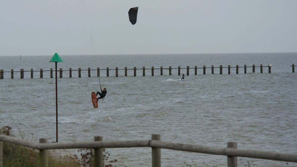
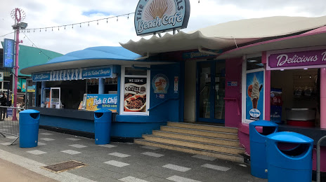
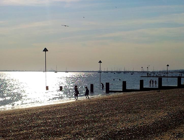
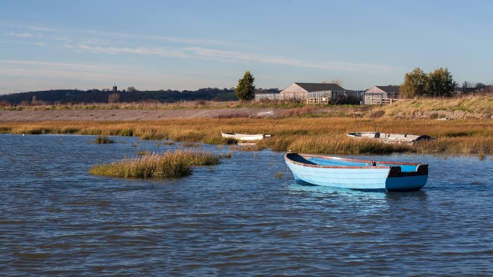
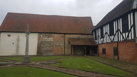
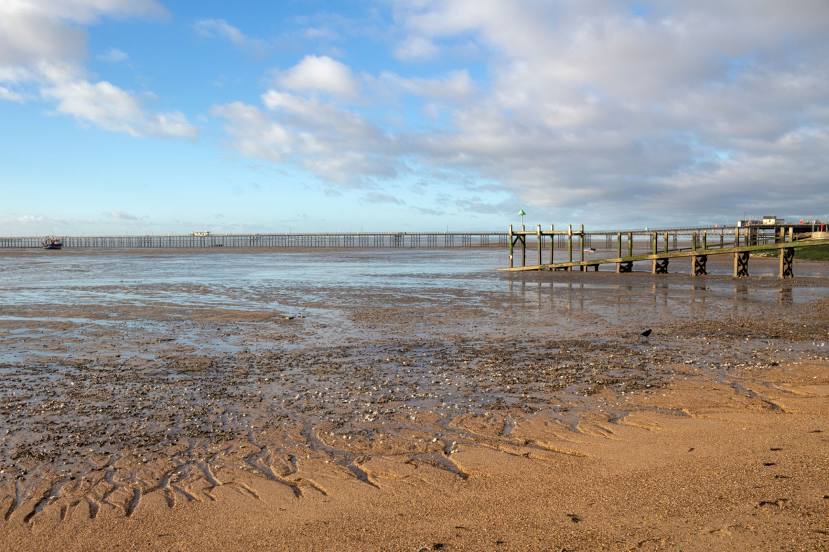
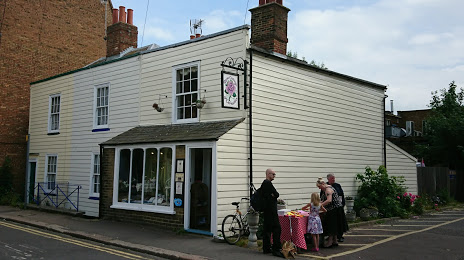
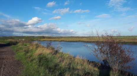
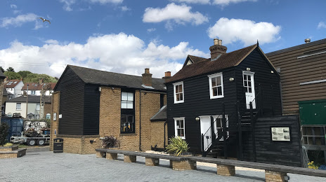
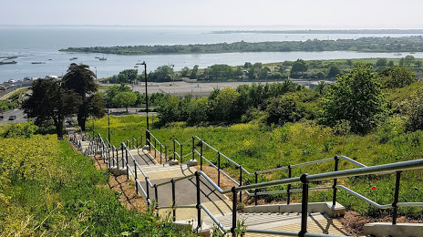
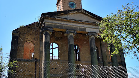
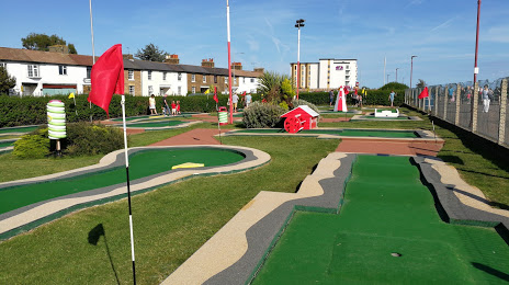
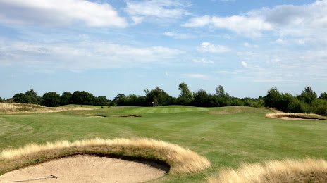
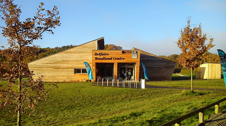
Attractions


Distance to the capital
Distance to the capital (London) is about — 58 km.