 Grove
Bognor Regis
Biggar
Ashbourne
Hathersage
Poynton
Beeston
Craigavon
Fife
Blackminster
Cranbrook
Lenham
Fort William
Ross-on-Wye
Ripon
Edge Hill
Enfield
Newport
Chelmsford
Grove
Bognor Regis
Biggar
Ashbourne
Hathersage
Poynton
Beeston
Craigavon
Fife
Blackminster
Cranbrook
Lenham
Fort William
Ross-on-Wye
Ripon
Edge Hill
Enfield
Newport
Chelmsford
Bodmin on the map, United Kingdom
Where is located Bodmin
Exact location — Bodmin, Cornwall, England, United Kingdom, marked on the map with a red marker.
Coordinates
Bodmin, United Kingdom coordinates in decimal format: latitude — 50.4714961, longitude — -4.7188629. When converted to degrees, minutes, seconds Bodmin has the following coordinates: 50°28′17.39 north latitude and -4°43′7.91 east longitude.
Population
Bodmin, Cornwall, England, United Kingdom, according to our data the population is — 13,063 residents, which is about 0% of the total population of the country (United Kingdom).
Comparison of the population on the graph:
Exact time
Time zone for this location Bodmin — UTC +1 Europe/London. Exact time — thursday, 4 april 2024 year, 23 h. 36 minutes.
Sunrise and sunset
Bodmin, sunrise and sunset data for a date — thursday 18.04.2024.
| Sunrise | Sunset | Day (duration) |
|---|---|---|
| 06:21 -2 minutes | 20:14 +1 minute | 13 h. 54 minutes. +3 minutes |
You can control the scale of the map using the auxiliary tools to find out exactly where it is located Bodmin. When you change the scale of the map, the width of the ruler also changes (in kilometers and miles).
Nearby cities
The largest cities that are located nearby:
- Exeter — 87 km
- Bristol — 183 km
- Bournemouth — 201 km
- Brest
 (France) — 231 km
 - Swindon — 235 km
- Southampton — 236 km
- Cheltenham — 240 km
- Worcester — 255 km
- Portsmouth — 257 km
- Oxford — 276 km
- Reading — 280 km
- Dudley — 287 km
- Telford — 288 km
- West Bromwich — 291 km
- Birmingham — 293 km
- Cork
 (Ireland) — 302 km
 - Sutton Coldfield — 303 km
- Coventry — 304 km
- Slough — 306 km
Distance to neighboring capitals:
- Dublin (Ireland) — 337 km
- Paris (France) — 540 km
- Paris (France) — 540 km
- Brussels
 (Belgium) — 641 km
 - Amsterdam
 (Netherlands) — 699 km
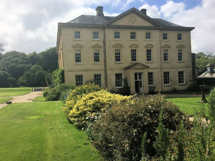
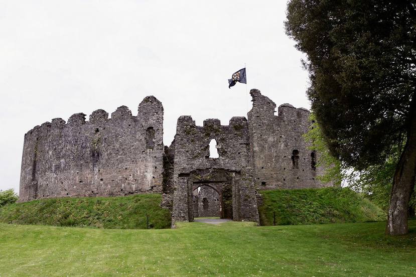
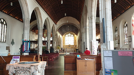
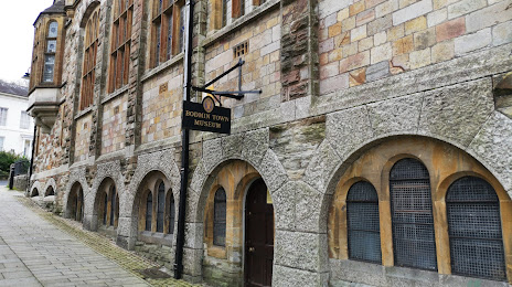
Attractions


Distance to the capital
Distance to the capital (London) is about — 341 km.