 Biggar
Ashbourne
Hathersage
Poynton
Beeston
Craigavon
Fife
Papil
Abergavenny
Scunthorpe
Musselburgh
Blackminster
Cranbrook
Lenham
Fort William
Ross-on-Wye
Ripon
Edge Hill
Enfield
Biggar
Ashbourne
Hathersage
Poynton
Beeston
Craigavon
Fife
Papil
Abergavenny
Scunthorpe
Musselburgh
Blackminster
Cranbrook
Lenham
Fort William
Ross-on-Wye
Ripon
Edge Hill
Enfield
Maidenhead on the map, United Kingdom
Where is located Maidenhead
Exact location — Maidenhead, Windsor and Maidenhead, England, United Kingdom, marked on the map with a red marker.
Coordinates
Maidenhead, United Kingdom coordinates in decimal format: latitude — 51.522414, longitude — -0.7219. When converted to degrees, minutes, seconds Maidenhead has the following coordinates: 51°31′20.69 north latitude and -0°43′18.84 east longitude.
Population
Maidenhead, Windsor and Maidenhead, England, United Kingdom, according to our data the population is — 59,463 residents, which is about 0.1% of the total population of the country (United Kingdom).
Comparison of the population on the graph:
Exact time
Time zone for this location Maidenhead — UTC +1 Europe/London. Exact time — wednesday, 4 april 2024 year, 16 h. 19 minutes.
Sunrise and sunset
Maidenhead, sunrise and sunset data for a date — wednesday 24.04.2024.
| Sunrise | Sunset | Day (duration) |
|---|---|---|
| 05:50 -2 minutes | 20:10 +1 minute | 14 h. 18 minutes. +3 minutes |
You can control the scale of the map using the auxiliary tools to find out exactly where it is located Maidenhead. When you change the scale of the map, the width of the ruler also changes (in kilometers and miles).
Nearby cities
The largest cities that are located nearby:
- Slough — 9 km
- Reading — 19 km
- Watford — 27 km
- Sutton — 41 km
- Luton — 44 km
- Oxford — 45 km
- Crawley — 59 km
- Swindon — 73 km
- Northampton — 80 km
- Portsmouth — 82 km
- Southampton — 83 km
- Basildon — 83 km
- Chelmsford — 85 km
- Gillingham — 89 km
- Cambridge — 95 km
- Southend-on-Sea — 98 km
- Cheltenham — 101 km
- Eastbourne — 109 km
- Coventry — 112 km
Distance to neighboring capitals:
- Brussels
 (Belgium) — 361 km
 - Paris
 (France) — 368 km
 - Paris (France) — 368 km
- Amsterdam
 (Netherlands) — 396 km
 - Dublin
 (Ireland) — 427 km
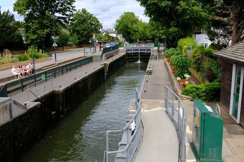
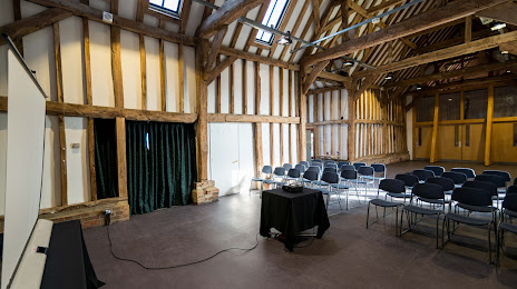
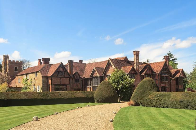
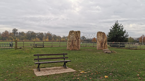
Attractions


Distance to the capital
Distance to the capital (London) is about — 41 km.