 Fife
Papil
Abergavenny
Monmouth
Hereford
Cwmbran
Newport
Alston
Pembroke
Brechin
Hickstead
Yate
Reading
Colchester
Dunstable
Scunthorpe
Musselburgh
Blackminster
Cranbrook
Fife
Papil
Abergavenny
Monmouth
Hereford
Cwmbran
Newport
Alston
Pembroke
Brechin
Hickstead
Yate
Reading
Colchester
Dunstable
Scunthorpe
Musselburgh
Blackminster
Cranbrook
Harrogate on the map, United Kingdom
Where is located Harrogate
Exact location — Harrogate, North Yorkshire, England, United Kingdom, marked on the map with a red marker.
Coordinates
Harrogate, United Kingdom coordinates in decimal format: latitude — 53.99212, longitude — -1.541812. When converted to degrees, minutes, seconds Harrogate has the following coordinates: 53°59′31.63 north latitude and -1°32′30.52 east longitude.
Population
Harrogate, North Yorkshire, England, United Kingdom, according to our data the population is — 87,024 residents, which is about 0.1% of the total population of the country (United Kingdom).
Comparison of the population on the graph:
Exact time
Time zone for this location Harrogate — UTC +1 Europe/London. Exact time — thursday, 4 april 2024 year, 15 h. 09 minutes.
Sunrise and sunset
Harrogate, sunrise and sunset data for a date — thursday 25.04.2024.
| Sunrise | Sunset | Day (duration) |
|---|---|---|
| 05:45 -2 minutes | 20:22 +1 minute | 14 h. 36 minutes. +3 minutes |
You can control the scale of the map using the auxiliary tools to find out exactly where it is located Harrogate. When you change the scale of the map, the width of the ruler also changes (in kilometers and miles).
Nearby cities
The largest cities that are located nearby:
- Huddersfield — 41 km
- Rotherham — 63 km
- Blackburn — 67 km
- Sheffield — 68 km
- Manchester — 73 km
- Preston — 80 km
- Sunderland — 102 km
- Liverpool — 115 km
- Stoke-on-Trent — 117 km
- Leicester — 152 km
- Telford — 157 km
- Sutton Coldfield — 158 km
- West Bromwich — 166 km
- Dudley — 168 km
- Birmingham — 168 km
- Coventry — 175 km
- Northampton — 198 km
- Worcester — 204 km
- Cambridge — 227 km
Distance to neighboring capitals:
- Dublin
 (Ireland) — 319 km
 - Amsterdam
 (Netherlands) — 465 km
 - Brussels
 (Belgium) — 531 km
 - Paris
 (France) — 632 km
 - Paris (France) — 632 km
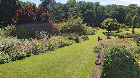
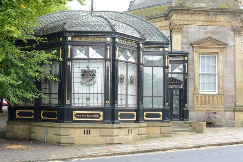
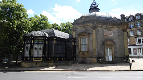
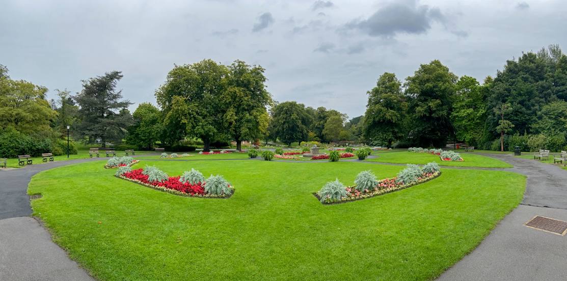
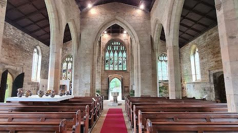
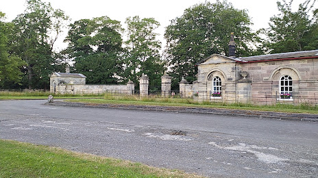
Attractions


Distance to the capital
Distance to the capital (London) is about — 292 km.