 Hereford
Cwmbran
Newport
Alston
Pembroke
Truro
Edenbridge
Weybridge
Selby
Beer
Bodmin
Harwich
Wigan
Brechin
Hickstead
Yate
Reading
Colchester
Dunstable
Hereford
Cwmbran
Newport
Alston
Pembroke
Truro
Edenbridge
Weybridge
Selby
Beer
Bodmin
Harwich
Wigan
Brechin
Hickstead
Yate
Reading
Colchester
Dunstable
Grove on the map, United Kingdom
Where is located Grove
Exact location — Oxfordshire, England, United Kingdom, marked on the map with a red marker.
Coordinates
Grove, United Kingdom coordinates in decimal format: latitude — 51.6131839, longitude — -1.419502. When converted to degrees, minutes, seconds Grove has the following coordinates: 51°36′47.46 north latitude and -1°25′10.21 east longitude.
Population
Oxfordshire, England, United Kingdom, according to our data the population is — 18,312 residents, which is about 0% of the total population of the country (United Kingdom).
Comparison of the population on the graph:
Exact time
Time zone for this location Grove — UTC +1 Europe/London. Exact time — friday, 4 april 2024 year, 06 h. 30 minutes.
Sunrise and sunset
Grove, sunrise and sunset data for a date — friday 19.04.2024.
| Sunrise | Sunset | Day (duration) |
|---|---|---|
| 06:03 -2 minutes | 20:05 +1 minute | 14 h. 0 minutes. +3 minutes |
You can control the scale of the map using the auxiliary tools to find out exactly where it is located Grove. When you change the scale of the map, the width of the ruler also changes (in kilometers and miles).
Nearby cities
The largest cities that are located nearby:
- Oxford — 19 km
- Swindon — 26 km
- Reading — 35 km
- Cheltenham — 55 km
- Slough — 58 km
- Watford — 71 km
- Luton — 74 km
- Northampton — 78 km
- Southampton — 78 km
- Bristol — 82 km
- Worcester — 84 km
- Coventry — 88 km
- Sutton — 89 km
- Portsmouth — 91 km
- Birmingham — 102 km
- Crawley — 102 km
- Bournemouth — 104 km
- West Bromwich — 107 km
- Dudley — 109 km
Distance to neighboring capitals:
- Dublin
 (Ireland) — 380 km
 - Paris
 (France) — 407 km
 - Paris (France) — 407 km
- Brussels
 (Belgium) — 411 km
 - Amsterdam
 (Netherlands) — 440 km
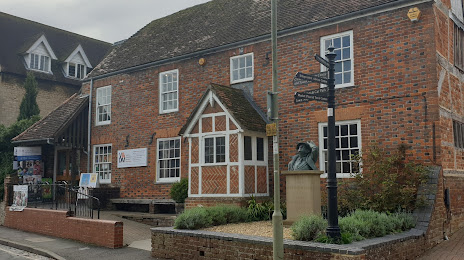
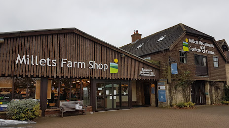
Attractions

Distance to the capital
Distance to the capital (London) is about — 90 km.