 Weybridge
Selby
Guildford
Hampshire
Lewes
Leek
Wisbech
Wokingham
Whitstable
Harrogate
Pavenham
Dartford
Watford
Uxbridge
Yaxley
Maidenhead
Beer
Bodmin
Harwich
Weybridge
Selby
Guildford
Hampshire
Lewes
Leek
Wisbech
Wokingham
Whitstable
Harrogate
Pavenham
Dartford
Watford
Uxbridge
Yaxley
Maidenhead
Beer
Bodmin
Harwich
Craigavon on the map, United Kingdom
Where is located Craigavon
Exact location — Craigavon, Northern Ireland, United Kingdom, marked on the map with a red marker.
Coordinates
Craigavon, United Kingdom coordinates in decimal format: latitude — 54.4429264, longitude — -6.4175653. When converted to degrees, minutes, seconds Craigavon has the following coordinates: 54°26′34.54 north latitude and -6°25′3.24 east longitude.
Population
Craigavon, Northern Ireland, United Kingdom, according to our data the population is — 59,236 residents, which is about 0.1% of the total population of the country (United Kingdom).
Comparison of the population on the graph:
Exact time
Time zone for this location Craigavon — UTC +1 Europe/London. Exact time — friday, 4 april 2024 year, 00 h. 23 minutes.
Sunrise and sunset
Craigavon, sunrise and sunset data for a date — friday 26.04.2024.
| Sunrise | Sunset | Day (duration) |
|---|---|---|
| 06:01 -2 minutes | 20:45 +2 minutes | 14 h. 42 minutes. +4 minutes |
You can control the scale of the map using the auxiliary tools to find out exactly where it is located Craigavon. When you change the scale of the map, the width of the ruler also changes (in kilometers and miles).
Nearby cities
The largest cities that are located nearby:
- Belfast — 36 km
- Dublin
 (Ireland) — 121 km
 - Glasgow — 207 km
- Liverpool — 253 km
- Preston — 254 km
- Edinburgh — 260 km
- Blackburn — 268 km
- Manchester — 295 km
- Cork (Ireland) — 315 km
- Huddersfield — 316 km
- Stoke-on-Trent — 324 km
- Sunderland — 324 km
- Telford — 330 km
- Sheffield — 347 km
- Rotherham — 351 km
- Dudley — 362 km
- West Bromwich — 366 km
- Sutton Coldfield — 372 km
- Birmingham — 374 km
Distance to neighboring capitals:
- Dublin (Ireland) — 122 km
- Amsterdam
 (Netherlands) — 784 km
 - Brussels
 (Belgium) — 828 km
 - Paris
 (France) — 866 km
 - Paris (France) — 866 km
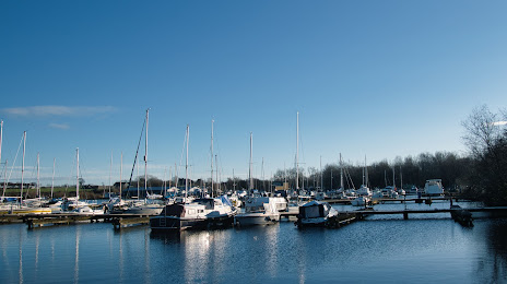
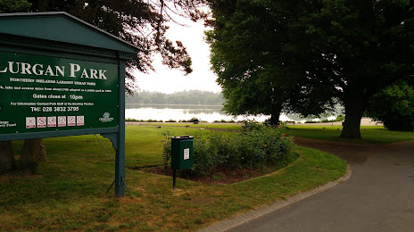
Attractions


Distance to the capital
Distance to the capital (London) is about — 533 km.