 Hoff
Kirkham
Barking
Clovelly
Llandudno
Hay-on-Wye
Cymmer
Cookham
Kettering
Pembroke
Alston
Newport
Cwmbran
Hereford
Monmouth
Abergavenny
Papil
Fife
Craigavon
Hoff
Kirkham
Barking
Clovelly
Llandudno
Hay-on-Wye
Cymmer
Cookham
Kettering
Pembroke
Alston
Newport
Cwmbran
Hereford
Monmouth
Abergavenny
Papil
Fife
Craigavon
Whitstable on the map, United Kingdom
Where is located Whitstable
Exact location — Whitstable, Kent, England, United Kingdom, marked on the map with a red marker.
Coordinates
Whitstable, United Kingdom coordinates in decimal format: latitude — 51.361047, longitude — 1.024256. When converted to degrees, minutes, seconds Whitstable has the following coordinates: 51°21′39.77 north latitude and 1°1′27.32 east longitude.
Population
Whitstable, Kent, England, United Kingdom, according to our data the population is — 30,195 residents, which is about 0% of the total population of the country (United Kingdom).
Comparison of the population on the graph:
Exact time
Time zone for this location Whitstable — UTC +1 Europe/London. Exact time — thursday, 4 april 2024 year, 07 h. 39 minutes.
Sunrise and sunset
Whitstable, sunrise and sunset data for a date — thursday 25.04.2024.
| Sunrise | Sunset | Day (duration) |
|---|---|---|
| 05:42 -2 minutes | 20:05 +2 minutes | 14 h. 24 minutes. +4 minutes |
You can control the scale of the map using the auxiliary tools to find out exactly where it is located Whitstable. When you change the scale of the map, the width of the ruler also changes (in kilometers and miles).
Nearby cities
The largest cities that are located nearby:
- Southend-on-Sea — 30 km
- Gillingham — 33 km
- Basildon — 44 km
- Chelmsford — 56 km
- Ipswich — 77 km
- Eastbourne — 83 km
- Sutton — 84 km
- Crawley — 89 km
- Watford — 102 km
- Cambridge — 112 km
- Slough — 113 km
- Luton — 114 km
- Reading — 138 km
- Norwich — 142 km
- Portsmouth — 159 km
- Oxford — 162 km
- Northampton — 163 km
- Lille
 (France) — 164 km
 - Southampton — 177 km
Distance to neighboring capitals:
- Brussels
 (Belgium) — 239 km
 - Amsterdam
 (Netherlands) — 289 km
 - Paris (France) — 294 km
- Paris (France) — 294 km
- Dublin
 (Ireland) — 542 km
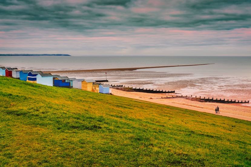
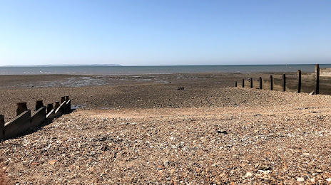
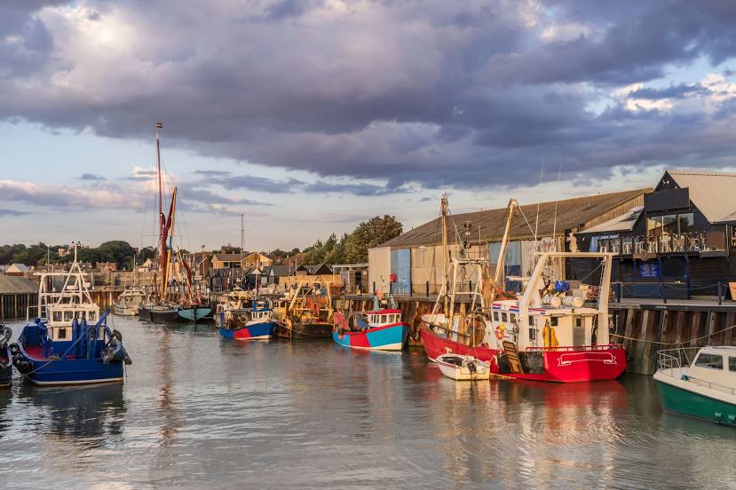
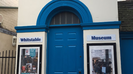
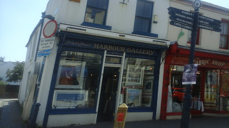
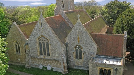
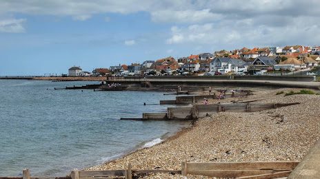
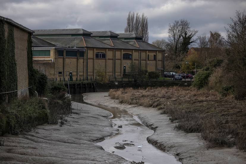
Attractions


Distance to the capital
Distance to the capital (London) is about — 82 km.