 Pembrokeshire
Scarborough
Looe
Rode
Dartmouth
Derby
Chester
Pickering
Londonderry
Clovelly
Barking
Kirkham
Hoff
Bude
Loughborough
Cradley Heath
Alnwick
Dorchester
Basildon
Pembrokeshire
Scarborough
Looe
Rode
Dartmouth
Derby
Chester
Pickering
Londonderry
Clovelly
Barking
Kirkham
Hoff
Bude
Loughborough
Cradley Heath
Alnwick
Dorchester
Basildon
Colwyn Bay on the map, United Kingdom
Where is located Colwyn Bay
Exact location — Colwyn Bay, Conwy, Wales, United Kingdom, marked on the map with a red marker.
Coordinates
Colwyn Bay, United Kingdom coordinates in decimal format: latitude — 53.293182, longitude — -3.72764. When converted to degrees, minutes, seconds Colwyn Bay has the following coordinates: 53°17′35.46 north latitude and -3°43′39.5 east longitude.
Population
Colwyn Bay, Conwy, Wales, United Kingdom, according to our data the population is — 30,829 residents, which is about 0% of the total population of the country (United Kingdom).
Comparison of the population on the graph:
Exact time
Time zone for this location Colwyn Bay — UTC +1 Europe/London. Exact time — wednesday, 4 april 2024 year, 09 h. 35 minutes.
Sunrise and sunset
Colwyn Bay, sunrise and sunset data for a date — wednesday 24.04.2024.
| Sunrise | Sunset | Day (duration) |
|---|---|---|
| 05:58 -2 minutes | 20:27 +2 minutes | 14 h. 30 minutes. +4 minutes |
You can control the scale of the map using the auxiliary tools to find out exactly where it is located Colwyn Bay. When you change the scale of the map, the width of the ruler also changes (in kilometers and miles).
Nearby cities
The largest cities that are located nearby:
- Liverpool — 50 km
- Preston — 85 km
- Blackburn — 95 km
- Manchester — 100 km
- Stoke-on-Trent — 108 km
- Telford — 110 km
- Huddersfield — 133 km
- Dudley — 140 km
- West Bromwich — 145 km
- Sheffield — 149 km
- Sutton Coldfield — 151 km
- Birmingham — 153 km
- Rotherham — 156 km
- Worcester — 159 km
- Dublin
 (Ireland) — 167 km
 - Coventry — 178 km
- Leicester — 188 km
- Cheltenham — 191 km
- Belfast — 202 km
Distance to neighboring capitals:
- Dublin (Ireland) — 168 km
- Amsterdam
 (Netherlands) — 588 km
 - Brussels
 (Belgium) — 615 km
 - Paris
 (France) — 651 km
 - Paris (France) — 651 km
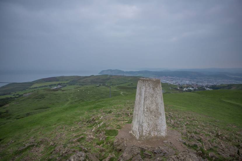
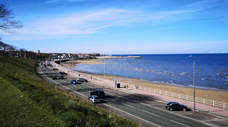
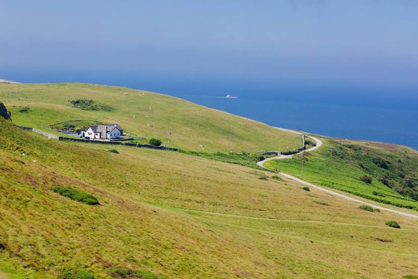
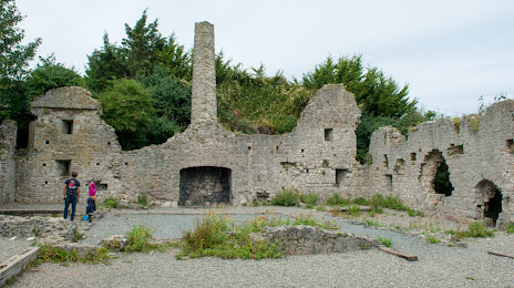
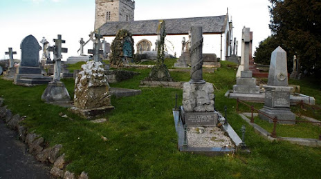
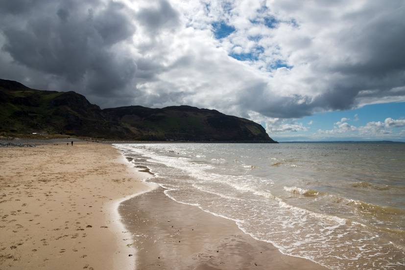
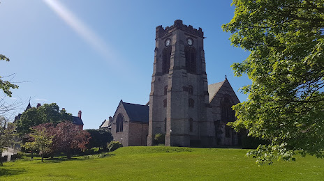
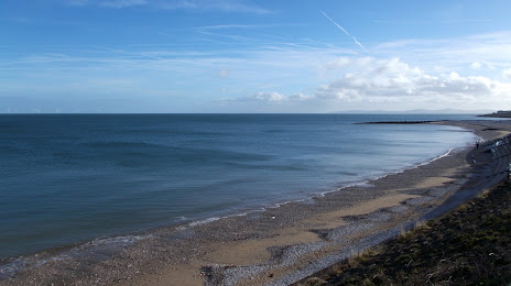
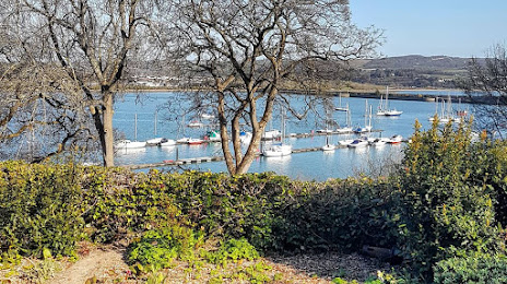
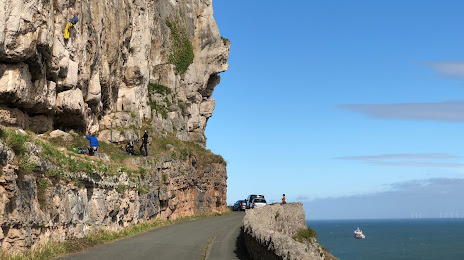
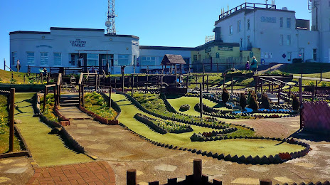
Attractions


Distance to the capital
Distance to the capital (London) is about — 315 km.