 Dartmouth
Derby
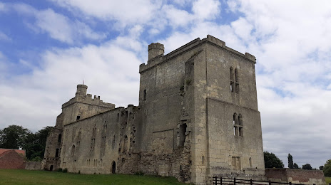
Chester
Pickering
Londonderry
Londonderry
Dunkeld
Bromley
Royal Leamington Spa
Cookham
Cymmer
Hay-on-Wye
Llandudno
Clovelly
Barking
Kirkham
Hoff
Bude
Loughborough
Dartmouth
Derby
Chester
Pickering
Londonderry
Londonderry
Dunkeld
Bromley
Royal Leamington Spa
Cookham
Cymmer
Hay-on-Wye
Llandudno
Clovelly
Barking
Kirkham
Hoff
Bude
Loughborough
Goole on the map, United Kingdom
Where is located Goole
Exact location — Goole, East Riding of Yorkshire, England, United Kingdom, marked on the map with a red marker.
Coordinates
Goole, United Kingdom coordinates in decimal format: latitude — 53.702941, longitude — -0.876381. When converted to degrees, minutes, seconds Goole has the following coordinates: 53°42′10.59 north latitude and -0°52′34.97 east longitude.
Population
Goole, East Riding of Yorkshire, England, United Kingdom, according to our data the population is — 19,158 residents, which is about 0% of the total population of the country (United Kingdom).
Comparison of the population on the graph:
Exact time
Time zone for this location Goole — UTC +1 Europe/London. Exact time — thursday, 4 april 2024 year, 02 h. 16 minutes.
Sunrise and sunset
Goole, sunrise and sunset data for a date — thursday 25.04.2024.
| Sunrise | Sunset | Day (duration) |
|---|---|---|
| 05:43 -2 minutes | 20:19 +2 minutes | 14 h. 36 minutes. +4 minutes |
You can control the scale of the map using the auxiliary tools to find out exactly where it is located Goole. When you change the scale of the map, the width of the ruler also changes (in kilometers and miles).
Nearby cities
The largest cities that are located nearby:
- Rotherham — 44 km
- Sheffield — 53 km
- Huddersfield — 60 km
- Manchester — 93 km
- Blackburn — 105 km
- Stoke-on-Trent — 116 km
- Leicester — 119 km
- Preston — 120 km
- Sunderland — 137 km
- Sutton Coldfield — 140 km
- Liverpool — 143 km
- Coventry — 150 km
- Birmingham — 151 km
- West Bromwich — 151 km
- Telford — 155 km
- Dudley — 155 km
- Northampton — 162 km
- Cambridge — 179 km
- Norwich — 188 km
Distance to neighboring capitals:
- Dublin
 (Ireland) — 358 km
 - Amsterdam
 (Netherlands) — 413 km
 - Brussels
 (Belgium) — 476 km
 - Paris
 (France) — 584 km
 - Paris (France) — 584 km
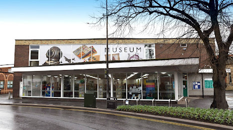
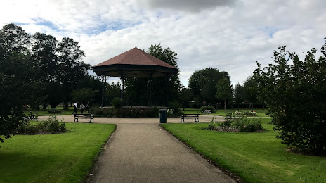
Attractions
Distance to the capital
Distance to the capital (London) is about — 249 km.