 West Bromwich
Harwich
Shedfield
Gwithian
Westerham
Eastbourne
Freshford
Knook
Epping
Londonderry
Londonderry
Pickering
Chester
Derby
Dartmouth
Rode
Looe
Scarborough
Pembrokeshire
West Bromwich
Harwich
Shedfield
Gwithian
Westerham
Eastbourne
Freshford
Knook
Epping
Londonderry
Londonderry
Pickering
Chester
Derby
Dartmouth
Rode
Looe
Scarborough
Pembrokeshire
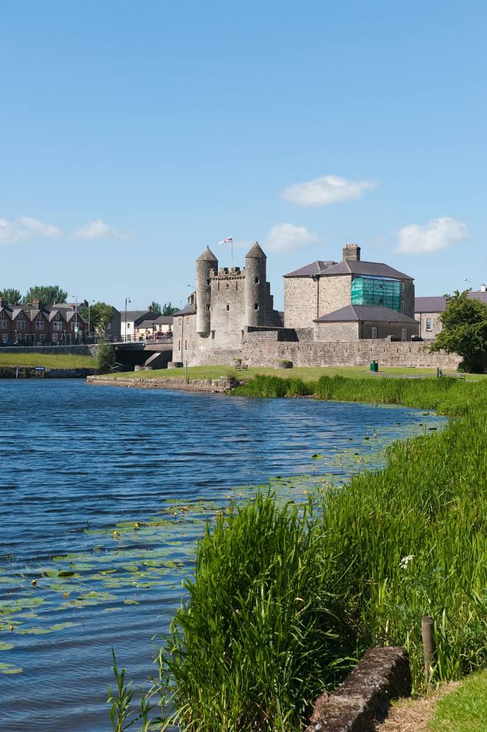
Enniskillen on the map, United Kingdom
Where is located Enniskillen
Exact location — Enniskillen, Fermanagh, Northern Ireland, United Kingdom, marked on the map with a red marker.
Coordinates
Enniskillen, United Kingdom coordinates in decimal format: latitude — 54.3438243, longitude — -7.6315336. When converted to degrees, minutes, seconds Enniskillen has the following coordinates: 54°20′37.77 north latitude and -7°37′53.52 east longitude.
Population
Enniskillen, Fermanagh, Northern Ireland, United Kingdom, according to our data the population is — 14,472 residents, which is about 0% of the total population of the country (United Kingdom).
Comparison of the population on the graph:
Exact time
Time zone for this location Enniskillen — UTC +1 Europe/London. Exact time — saturday, 4 april 2024 year, 07 h. 18 minutes.
Sunrise and sunset
Enniskillen, sunrise and sunset data for a date — saturday 20.04.2024.
| Sunrise | Sunset | Day (duration) |
|---|---|---|
| 06:19 -2 minutes | 20:38 +1 minute | 14 h. 18 minutes. +3 minutes |
You can control the scale of the map using the auxiliary tools to find out exactly where it is located Enniskillen. When you change the scale of the map, the width of the ruler also changes (in kilometers and miles).
Nearby cities
The largest cities that are located nearby:
- Belfast — 113 km
- Dublin
 (Ireland) — 142 km
 - Glasgow — 269 km
- Cork (Ireland) — 277 km
- Liverpool — 323 km
- Edinburgh — 328 km
- Preston — 328 km
- Blackburn — 343 km
- Manchester — 367 km
- Huddersfield — 391 km
- Stoke-on-Trent — 392 km
- Telford — 393 km
- Sunderland — 402 km
- Sheffield — 420 km
- Dudley — 425 km
- Rotherham — 425 km
- West Bromwich — 430 km
- Sutton Coldfield — 437 km
- Worcester — 437 km
Distance to neighboring capitals:
- Dublin (Ireland) — 143 km
- Amsterdam
 (Netherlands) — 859 km
 - Brussels
 (Belgium) — 896 km
 - Paris
 (France) — 919 km
 - Paris (France) — 919 km
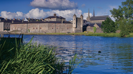
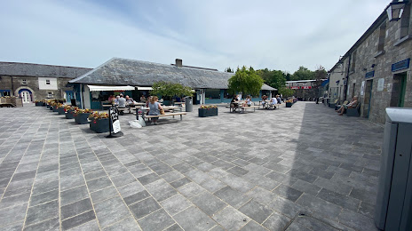
Attractions

Distance to the capital
Distance to the capital (London) is about — 593 km.