 Glogue
Bracknell
Merseyside
Redditch
Spalding
Whitburn
Takeley
Belvedere
Melton Mowbray
Keady
Carnlough
Cushendall
Ely
Saint Giles in the Wood
Ulverston
Sunderland
Poole
Bromsgrove
Lewes
Glogue
Bracknell
Merseyside
Redditch
Spalding
Whitburn
Takeley
Belvedere
Melton Mowbray
Keady
Carnlough
Cushendall
Ely
Saint Giles in the Wood
Ulverston
Sunderland
Poole
Bromsgrove
Lewes
Maidstone on the map, United Kingdom
Where is located Maidstone
Exact location — Maidstone, Kent, England, United Kingdom, marked on the map with a red marker.
Coordinates
Maidstone, United Kingdom coordinates in decimal format: latitude — 51.270363, longitude — 0.522699. When converted to degrees, minutes, seconds Maidstone has the following coordinates: 51°16′13.31 north latitude and 0°31′21.72 east longitude.
Population
Maidstone, Kent, England, United Kingdom, according to our data the population is — 90,894 residents, which is about 0.1% of the total population of the country (United Kingdom).
Comparison of the population on the graph:
Exact time
Time zone for this location Maidstone — UTC +1 Europe/London. Exact time — thursday, 4 april 2024 year, 01 h. 28 minutes.
Sunrise and sunset
Maidstone, sunrise and sunset data for a date — thursday 25.04.2024.
| Sunrise | Sunset | Day (duration) |
|---|---|---|
| 05:44 -2 minutes | 20:06 +1 minute | 14 h. 24 minutes. +3 minutes |
You can control the scale of the map using the auxiliary tools to find out exactly where it is located Maidstone. When you change the scale of the map, the width of the ruler also changes (in kilometers and miles).
Nearby cities
The largest cities that are located nearby:
- Gillingham — 13 km
- Southend-on-Sea — 33 km
- Basildon — 34 km
- Sutton — 50 km
- Chelmsford — 52 km
- Crawley — 52 km
- Eastbourne — 58 km
- Watford — 76 km
- Slough — 81 km
- Luton — 93 km
- Ipswich — 97 km
- Reading — 105 km
- Cambridge — 107 km
- Portsmouth — 123 km
- Oxford — 133 km
- Southampton — 140 km
- Northampton — 144 km
- Norwich — 159 km
- Swindon — 161 km
Distance to neighboring capitals:
- Brussels
 (Belgium) — 272 km
 - Paris
 (France) — 299 km
 - Paris (France) — 299 km
- Amsterdam
 (Netherlands) — 324 km
 - Dublin
 (Ireland) — 516 km
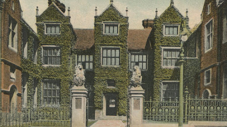
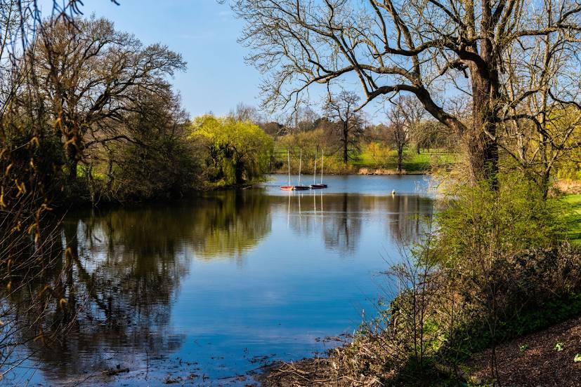
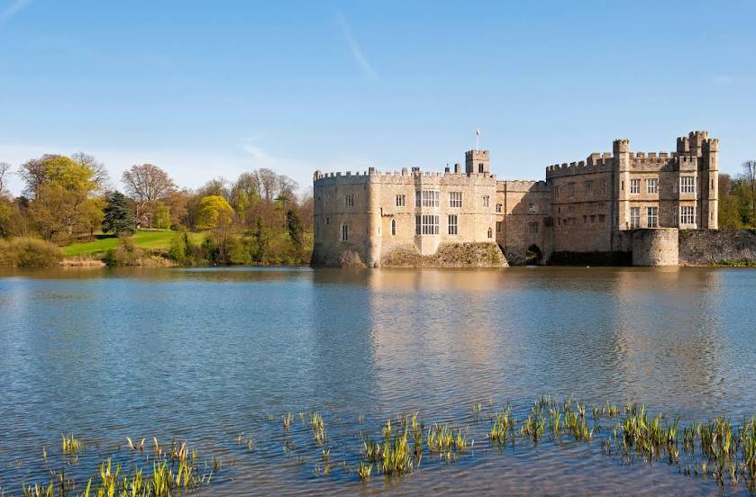
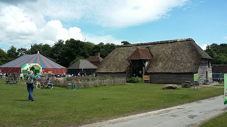
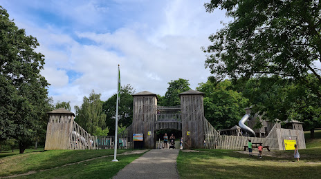
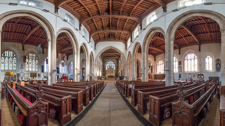
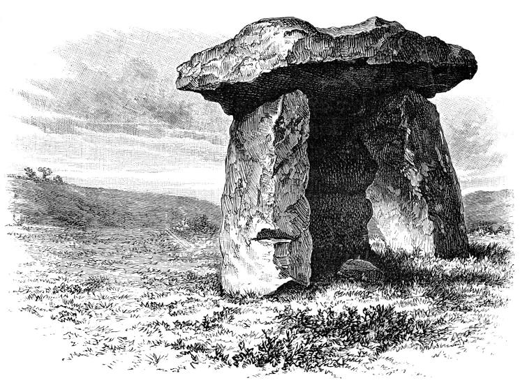
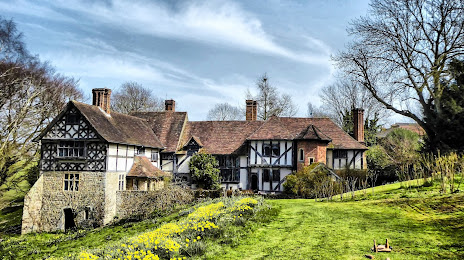
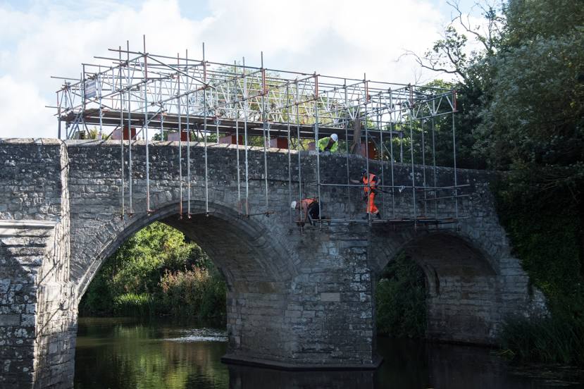
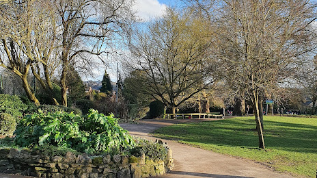
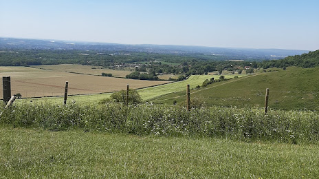
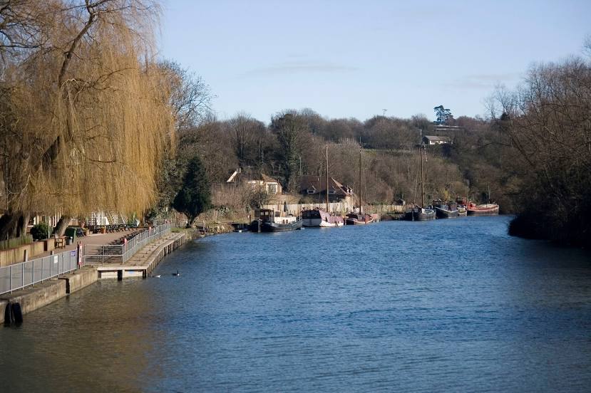
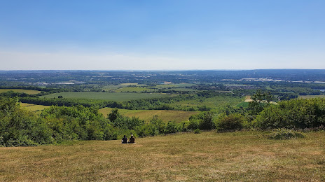
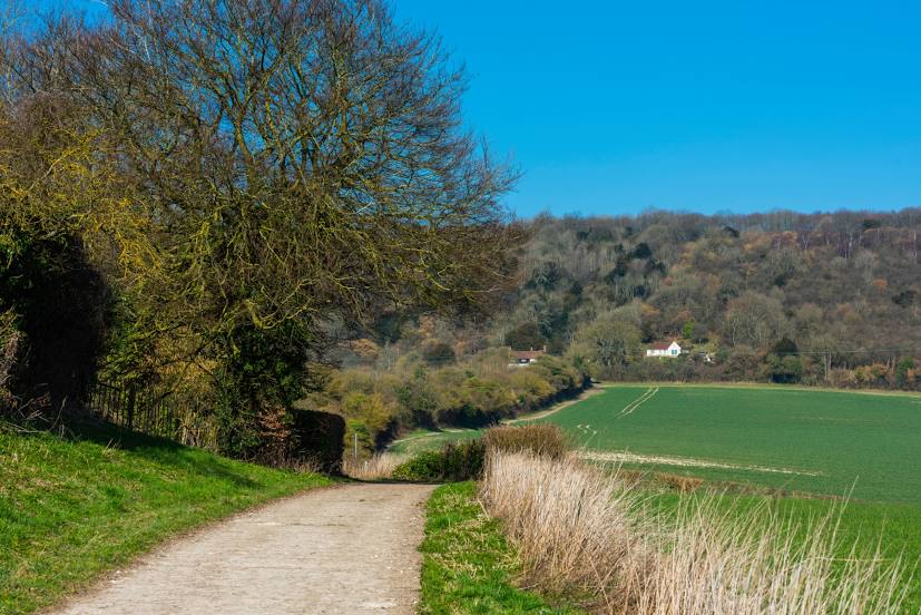
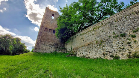
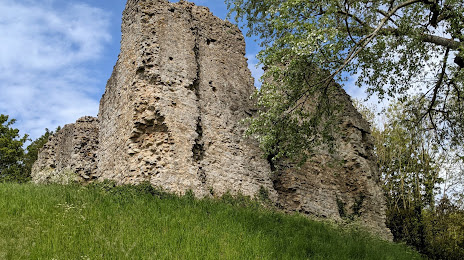
Attractions


Distance to the capital
Distance to the capital (London) is about — 52 km.