 Whitburn
Takeley
Belvedere
Melton Mowbray
Crewe
Sealand
Coton
Othery
Bevere
Gwithian
Shedfield
Harwich
West Bromwich
Gatwick Airport
Keady
Carnlough
Cushendall
Ely
Saint Giles in the Wood
Whitburn
Takeley
Belvedere
Melton Mowbray
Crewe
Sealand
Coton
Othery
Bevere
Gwithian
Shedfield
Harwich
West Bromwich
Gatwick Airport
Keady
Carnlough
Cushendall
Ely
Saint Giles in the Wood
Felixstowe on the map, United Kingdom
Where is located Felixstowe
Exact location — Felixstowe, Suffolk, England, United Kingdom, marked on the map with a red marker.
Coordinates
Felixstowe, United Kingdom coordinates in decimal format: latitude — 51.961726, longitude — 1.351255. When converted to degrees, minutes, seconds Felixstowe has the following coordinates: 51°57′42.21 north latitude and 1°21′4.52 east longitude.
Population
Felixstowe, Suffolk, England, United Kingdom, according to our data the population is — 29,349 residents, which is about 0% of the total population of the country (United Kingdom).
Comparison of the population on the graph:
Exact time
Time zone for this location Felixstowe — UTC +1 Europe/London. Exact time — thursday, 4 april 2024 year, 17 h. 50 minutes.
Sunrise and sunset
Felixstowe, sunrise and sunset data for a date — thursday 18.04.2024.
| Sunrise | Sunset | Day (duration) |
|---|---|---|
| 05:53 -3 minutes | 19:53 +1 minute | 14 h. 0 minutes. +4 minutes |
You can control the scale of the map using the auxiliary tools to find out exactly where it is located Felixstowe. When you change the scale of the map, the width of the ruler also changes (in kilometers and miles).
Nearby cities
The largest cities that are located nearby:
- Ipswich — 17 km
- Southend-on-Sea — 64 km
- Chelmsford — 65 km
- Basildon — 73 km
- Norwich — 74 km
- Gillingham — 84 km
- Cambridge — 88 km
- Luton — 121 km
- Watford — 124 km
- Sutton — 126 km
- Crawley — 142 km
- Slough — 143 km
- Eastbourne — 151 km
- Northampton — 156 km
- Reading — 170 km
- Oxford — 180 km
- Leicester — 183 km
- Lille
 (France) — 190 km
 - Coventry — 200 km
Distance to neighboring capitals:
- Brussels
 (Belgium) — 242 km
 - Amsterdam
 (Netherlands) — 246 km
 - Paris (France) — 353 km
- Paris (France) — 353 km
- Dublin
 (Ireland) — 536 km
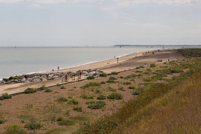
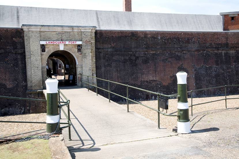
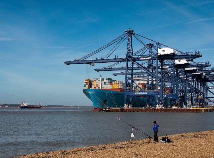
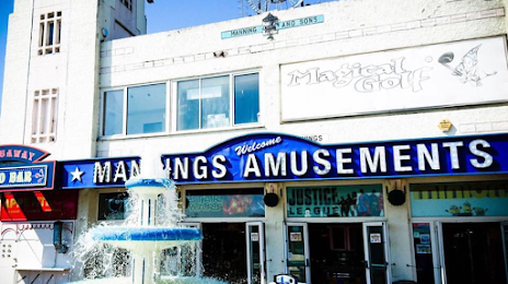
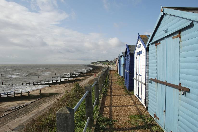
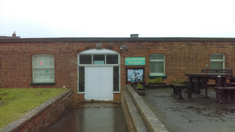
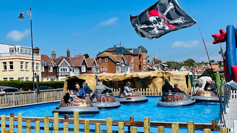
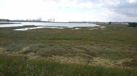
Attractions

Distance to the capital
Distance to the capital (London) is about — 114 km.