 Orkney
Bathgate
Hereford
Hampshire
Bale
Talmine
Skipton
Burnley
Seaford
Othery
Coton
Sealand
Crewe
Melton Mowbray
Belvedere
Takeley
Whitburn
Spalding
Redditch
Orkney
Bathgate
Hereford
Hampshire
Bale
Talmine
Skipton
Burnley
Seaford
Othery
Coton
Sealand
Crewe
Melton Mowbray
Belvedere
Takeley
Whitburn
Spalding
Redditch
Huddersfield on the map, United Kingdom
Where is located Huddersfield
Exact location — Huddersfield, West Yorkshire, England, United Kingdom, marked on the map with a red marker.
Coordinates
Huddersfield, United Kingdom coordinates in decimal format: latitude — 53.645792, longitude — -1.785035. When converted to degrees, minutes, seconds Huddersfield has the following coordinates: 53°38′44.85 north latitude and -1°47′6.13 east longitude.
Population
Huddersfield, West Yorkshire, England, United Kingdom, according to our data the population is — 149,017 residents, which is about 0.2% of the total population of the country (United Kingdom).
Comparison of the population on the graph:
Exact time
Time zone for this location Huddersfield — UTC +1 Europe/London. Exact time — friday, 4 april 2024 year, 18 h. 08 minutes.
Sunrise and sunset
Huddersfield, sunrise and sunset data for a date — friday 19.04.2024.
| Sunrise | Sunset | Day (duration) |
|---|---|---|
| 06:00 -2 minutes | 20:11 +1 minute | 14 h. 12 minutes. +3 minutes |
You can control the scale of the map using the auxiliary tools to find out exactly where it is located Huddersfield. When you change the scale of the map, the width of the ruler also changes (in kilometers and miles).
Nearby cities
The largest cities that are located nearby:
- Manchester — 35 km
- Sheffield — 36 km
- Rotherham — 36 km
- Blackburn — 47 km
- Preston — 61 km
- Stoke-on-Trent — 76 km
- Liverpool — 84 km
- Telford — 116 km
- Sutton Coldfield — 119 km
- Leicester — 120 km
- West Bromwich — 126 km
- Dudley — 127 km
- Birmingham — 128 km
- Coventry — 138 km
- Sunderland — 142 km
- Worcester — 163 km
- Northampton — 166 km
- Cheltenham — 194 km
- Cambridge — 205 km
Distance to neighboring capitals:
- Dublin
 (Ireland) — 298 km
 - Amsterdam
 (Netherlands) — 469 km
 - Brussels
 (Belgium) — 521 km
 - Paris
 (France) — 605 km
 - Paris (France) — 605 km
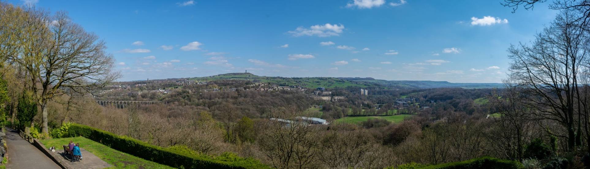
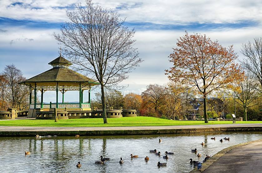
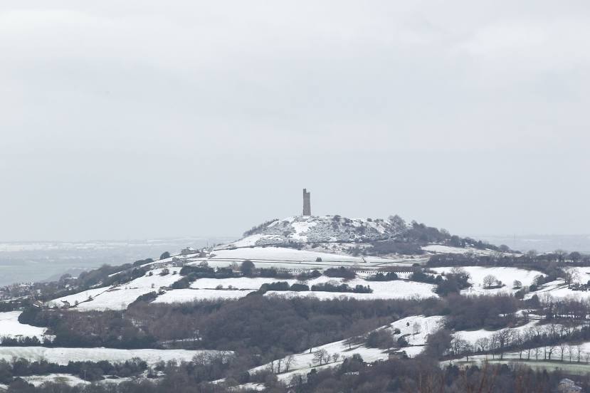
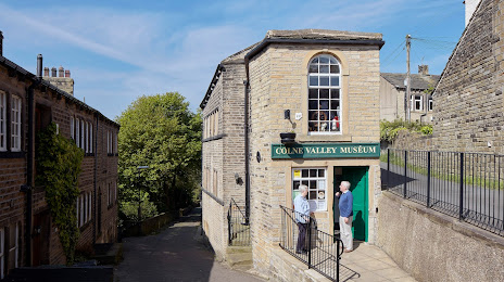
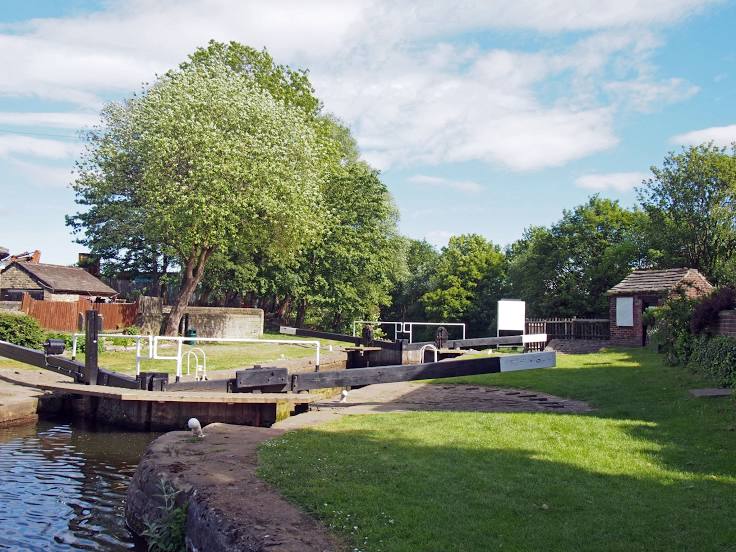
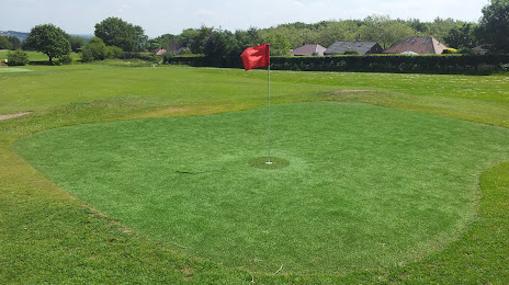
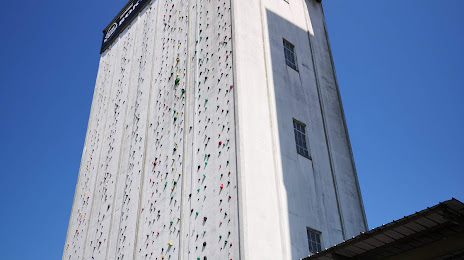
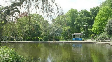
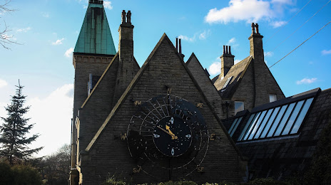
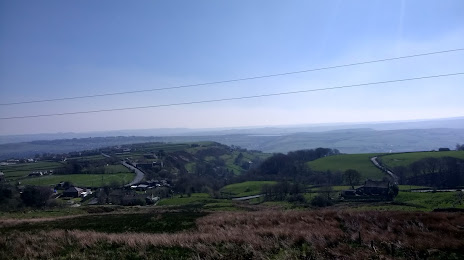
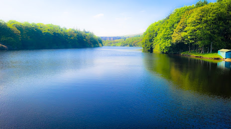
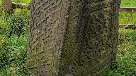
Attractions


Distance to the capital
Distance to the capital (London) is about — 263 km.