 Alcester
Epsom
Northumberland
Matfield
Holme-on-Spalding-Moor
Scropton
Bisham
Hornchurch
Saint Helens
London Luton Airport
Immingham
Oldham
Wales
Dyce
Newton
East End
Bolsover
Llandrindod Wells
Huddersfield
Alcester
Epsom
Northumberland
Matfield
Holme-on-Spalding-Moor
Scropton
Bisham
Hornchurch
Saint Helens
London Luton Airport
Immingham
Oldham
Wales
Dyce
Newton
East End
Bolsover
Llandrindod Wells
Huddersfield
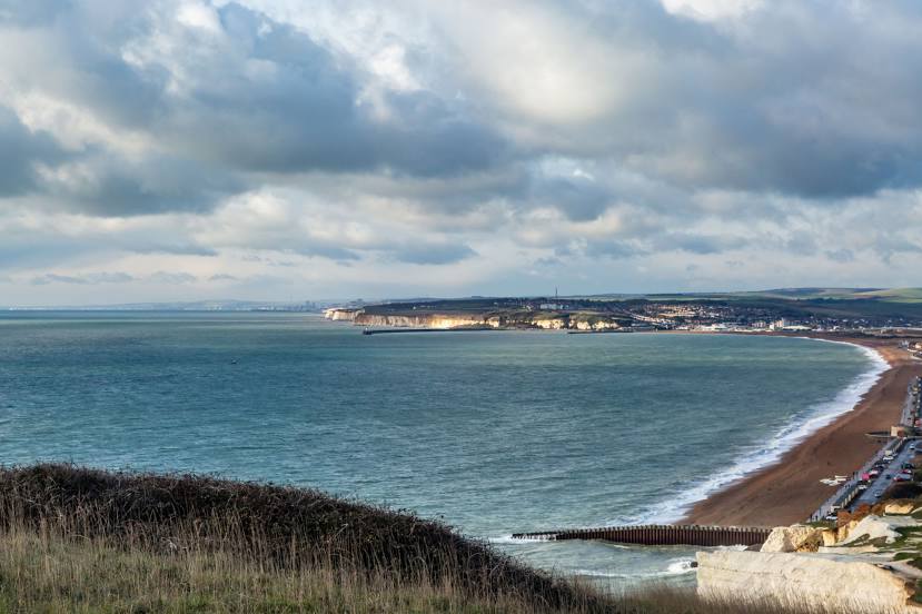
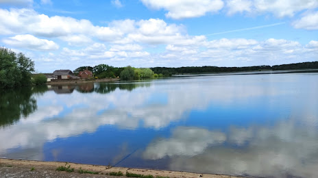
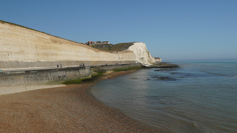
Seaford on the map, United Kingdom
Where is located Seaford
Exact location — Seaford, East Sussex, England, United Kingdom, marked on the map with a red marker.
Coordinates
Seaford, United Kingdom coordinates in decimal format: latitude — 50.7734669, longitude — 0.101108. When converted to degrees, minutes, seconds Seaford has the following coordinates: 50°46′24.48 north latitude and 0°6′3.99 east longitude.
Population
Seaford, East Sussex, England, United Kingdom, according to our data the population is — 22,338 residents, which is about 0% of the total population of the country (United Kingdom).
Comparison of the population on the graph:
Exact time
Time zone for this location Seaford — UTC +1 Europe/London. Exact time — friday, 4 april 2024 year, 18 h. 45 minutes.
Sunrise and sunset
Seaford, sunrise and sunset data for a date — friday 19.04.2024.
| Sunrise | Sunset | Day (duration) |
|---|---|---|
| 05:59 -2 minutes | 19:57 +1 minute | 14 h. 0 minutes. +3 minutes |
You can control the scale of the map using the auxiliary tools to find out exactly where it is located Seaford. When you change the scale of the map, the width of the ruler also changes (in kilometers and miles).
Nearby cities
The largest cities that are located nearby:
- Eastbourne — 13 km
- Crawley — 42 km
- Sutton — 68 km
- Gillingham — 75 km
- Portsmouth — 83 km
- Basildon — 93 km
- Slough — 95 km
- Southend-on-Sea — 95 km
- Watford — 103 km
- Reading — 106 km
- Southampton — 106 km
- Chelmsford — 109 km
- Luton — 127 km
- Bournemouth — 139 km
- Le Havre
 (France) — 141 km
 - Oxford — 143 km
- Swindon — 156 km
- Cambridge — 158 km
- Ipswich — 159 km
Distance to neighboring capitals:
- Paris (France) — 267 km
- Paris (France) — 267 km
- Brussels
 (Belgium) — 299 km
 - Amsterdam
 (Netherlands) — 376 km
 - Dublin
 (Ireland) — 521 km
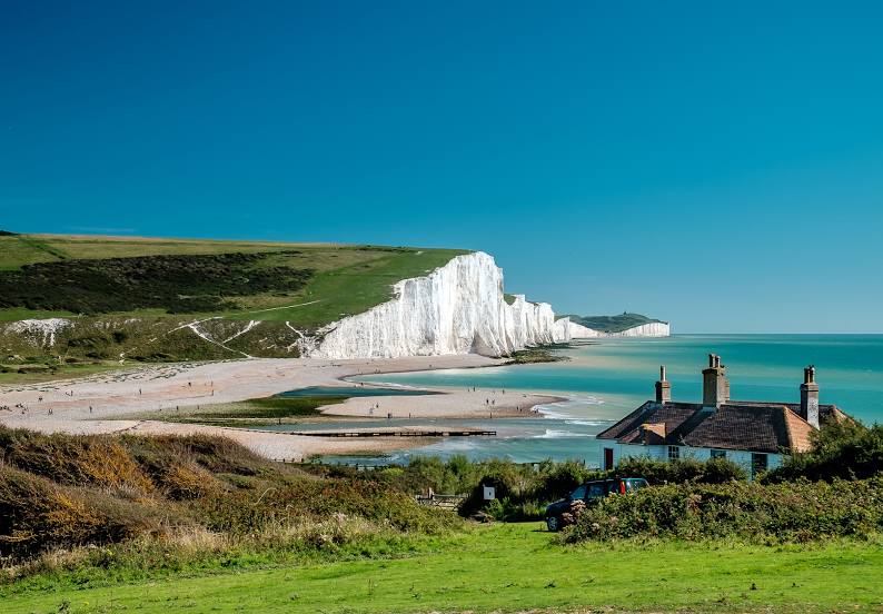
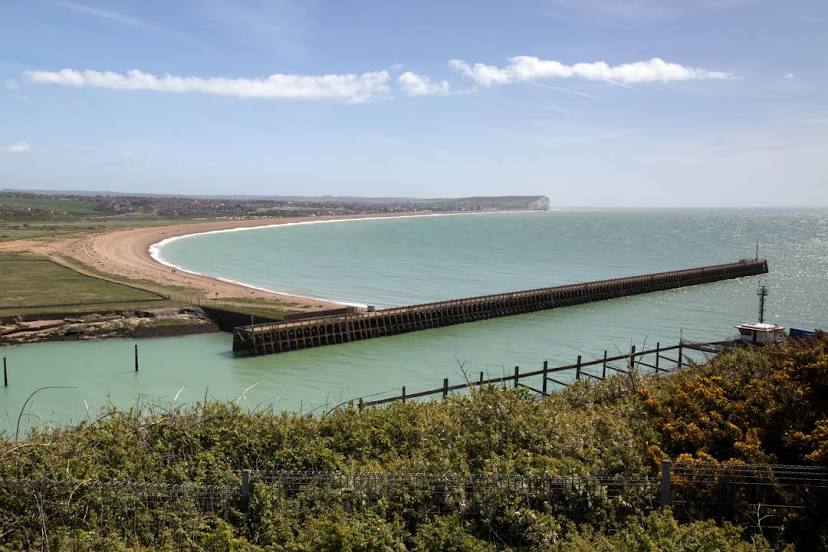
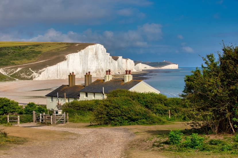
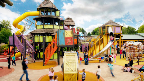
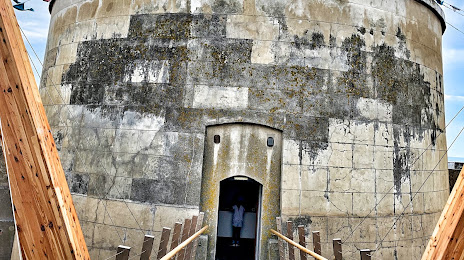
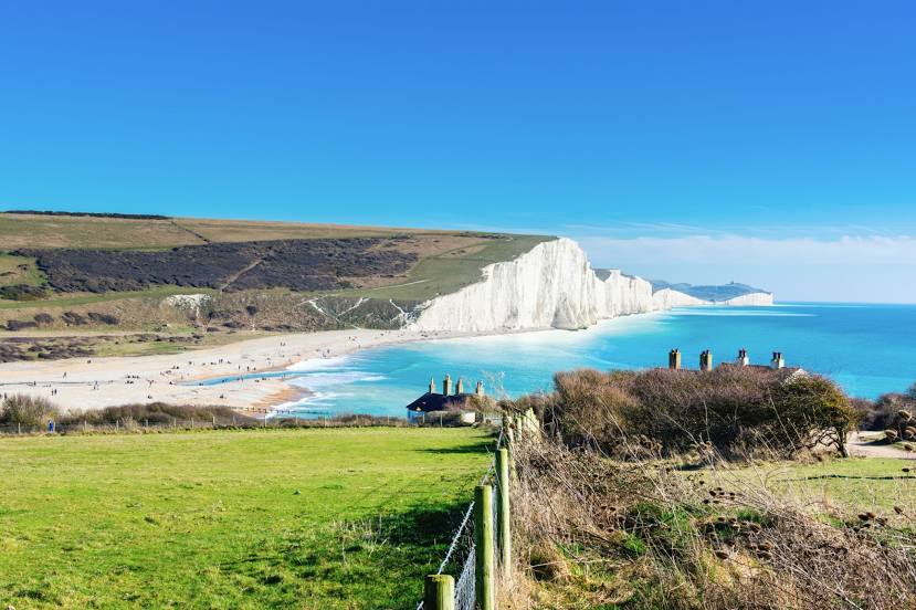
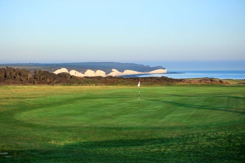
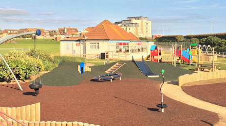
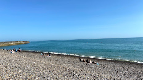
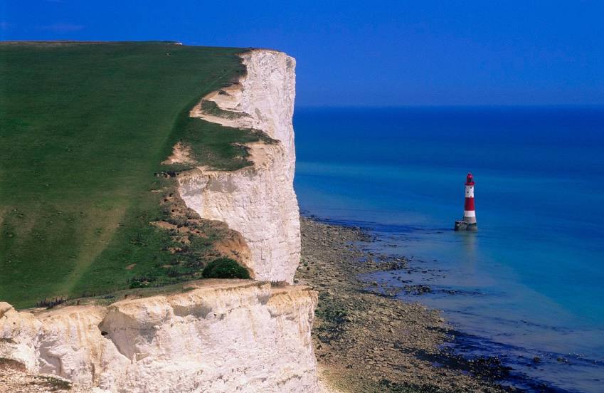
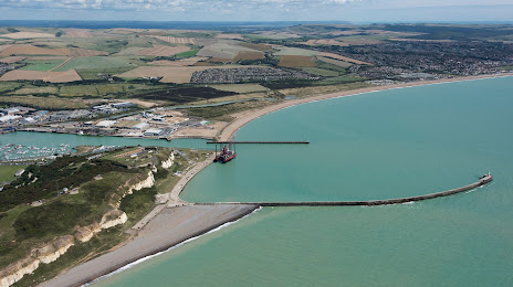
Attractions

Distance to the capital
Distance to the capital (London) is about — 83 km.