 Matfield
Holme-on-Spalding-Moor
Scropton
Bisham
Hornchurch
Saint Helens
Tavistock
Hyde
Grantham
Orkney
Great Yarmouth
Bowbridge
London Luton Airport
Immingham
Oldham
Wales
Dyce
Newton
East End
Matfield
Holme-on-Spalding-Moor
Scropton
Bisham
Hornchurch
Saint Helens
Tavistock
Hyde
Grantham
Orkney
Great Yarmouth
Bowbridge
London Luton Airport
Immingham
Oldham
Wales
Dyce
Newton
East End
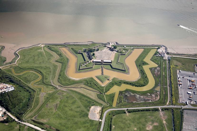
Tilbury on the map, United Kingdom
Where is located Tilbury
Exact location — Tilbury, Essex, England, United Kingdom, marked on the map with a red marker.
Coordinates
Tilbury, United Kingdom coordinates in decimal format: latitude — 51.463024, longitude — 0.360498. When converted to degrees, minutes, seconds Tilbury has the following coordinates: 51°27′46.89 north latitude and 0°21′37.79 east longitude.
Population
Tilbury, Essex, England, United Kingdom, according to our data the population is — 11,717 residents, which is about 0% of the total population of the country (United Kingdom).
Comparison of the population on the graph:
Exact time
Time zone for this location Tilbury — UTC +1 Europe/London. Exact time — thursday, 4 april 2024 year, 00 h. 11 minutes.
Sunrise and sunset
Tilbury, sunrise and sunset data for a date — thursday 18.04.2024.
| Sunrise | Sunset | Day (duration) |
|---|---|---|
| 05:58 -3 minutes | 19:56 +2 minutes | 14 h. 0 minutes. +5 minutes |
You can control the scale of the map using the auxiliary tools to find out exactly where it is located Tilbury. When you change the scale of the map, the width of the ruler also changes (in kilometers and miles).
Nearby cities
The largest cities that are located nearby:
- Basildon — 15 km
- Gillingham — 16 km
- Southend-on-Sea — 26 km
- Chelmsford — 31 km
- Sutton — 40 km
- Crawley — 55 km
- Watford — 56 km
- Slough — 66 km
- Luton — 70 km
- Eastbourne — 77 km
- Cambridge — 84 km
- Ipswich — 85 km
- Reading — 92 km
- Oxford — 115 km
- Northampton — 121 km
- Portsmouth — 124 km
- Southampton — 137 km
- Norwich — 144 km
- Swindon — 147 km
Distance to neighboring capitals:
- Brussels
 (Belgium) — 287 km
 - Paris
 (France) — 323 km
 - Paris (France) — 323 km
- Amsterdam
 (Netherlands) — 327 km
 - Dublin
 (Ireland) — 496 km
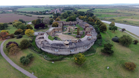
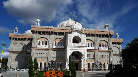
Attractions

Distance to the capital
Distance to the capital (London) is about — 34 km.