 Saint Helens
Tavistock
Hyde
Grantham
Dungannon
East Boldre
Cotts
Manchester Airport
Wigan
Talmine
Bale
Hampshire
Hereford
Bathgate
Orkney
Great Yarmouth
Bowbridge
London Luton Airport
Immingham
Saint Helens
Tavistock
Hyde
Grantham
Dungannon
East Boldre
Cotts
Manchester Airport
Wigan
Talmine
Bale
Hampshire
Hereford
Bathgate
Orkney
Great Yarmouth
Bowbridge
London Luton Airport
Immingham
Prudhoe on the map, United Kingdom
Where is located Prudhoe
Exact location — Prudhoe, Northumberland, England, United Kingdom, marked on the map with a red marker.
Coordinates
Prudhoe, United Kingdom coordinates in decimal format: latitude — 54.962199, longitude — -1.84723. When converted to degrees, minutes, seconds Prudhoe has the following coordinates: 54°57′43.92 north latitude and -1°50′50.03 east longitude.
Population
Prudhoe, Northumberland, England, United Kingdom, according to our data the population is — 10,669 residents, which is about 0% of the total population of the country (United Kingdom).
Comparison of the population on the graph:
Exact time
Time zone for this location Prudhoe — UTC +1 Europe/London. Exact time — friday, 4 april 2024 year, 20 h. 54 minutes.
Sunrise and sunset
Prudhoe, sunrise and sunset data for a date — friday 19.04.2024.
| Sunrise | Sunset | Day (duration) |
|---|---|---|
| 05:57 -2 minutes | 20:15 +2 minutes | 14 h. 18 minutes. +4 minutes |
You can control the scale of the map using the auxiliary tools to find out exactly where it is located Prudhoe. When you change the scale of the map, the width of the ruler also changes (in kilometers and miles).
Nearby cities
The largest cities that are located nearby:
- Sunderland — 30 km
- Edinburgh — 137 km
- Blackburn — 141 km
- Preston — 144 km
- Huddersfield — 146 km
- Manchester — 166 km
- Rotherham — 172 km
- Sheffield — 177 km
- Glasgow — 179 km
- Liverpool — 188 km
- Stoke-on-Trent — 218 km
- Telford — 256 km
- Leicester — 261 km
- Sutton Coldfield — 264 km
- Belfast — 265 km
- West Bromwich — 270 km
- Dudley — 271 km
- Birmingham — 274 km
- Coventry — 283 km
Distance to neighboring capitals:
- Dublin
 (Ireland) — 339 km
 - Amsterdam
 (Netherlands) — 529 km
 - Brussels
 (Belgium) — 618 km
 - Paris
 (France) — 737 km
 - Paris (France) — 737 km
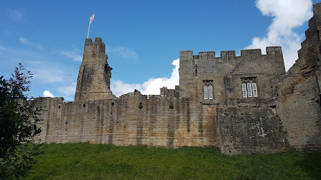
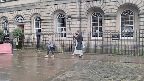
Attractions


Distance to the capital
Distance to the capital (London) is about — 401 km.