 Warwick
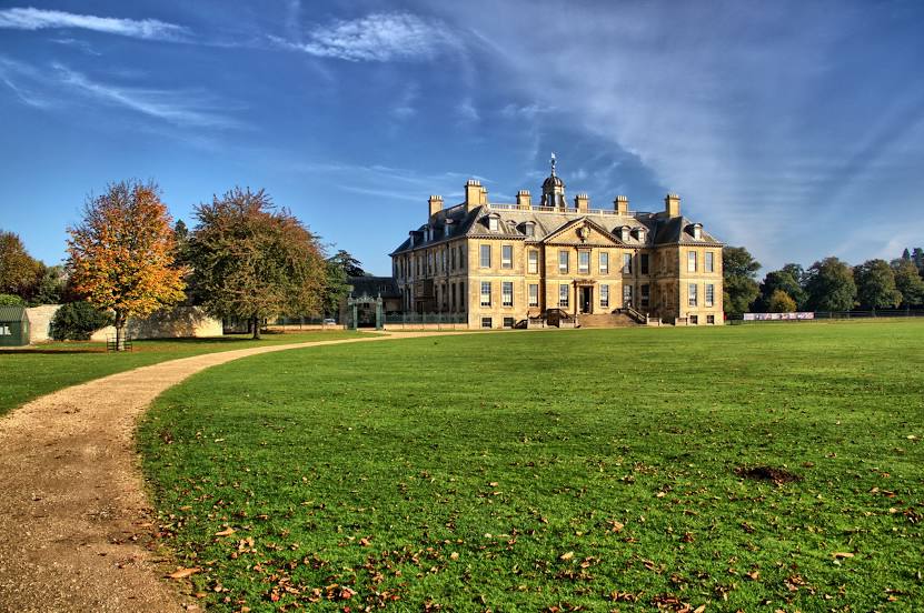
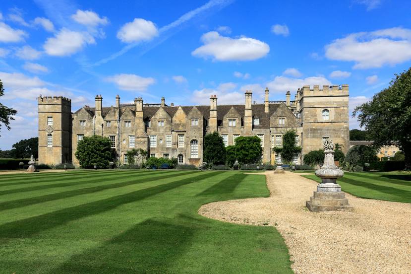
Lincolnshire
Carlisle
Exmouth
Bodelva
Porthcurno
Staveley
Bangor
Grimsby
Alcester
Bedford
Christchurch
Torbay
Prudhoe
Doncaster Sheffield Airport
Lancashire
Faversham
Croydon
Tilbury
Warwick
Lincolnshire
Carlisle
Exmouth
Bodelva
Porthcurno
Staveley
Bangor
Grimsby
Alcester
Bedford
Christchurch
Torbay
Prudhoe
Doncaster Sheffield Airport
Lancashire
Faversham
Croydon
Tilbury
Grantham on the map, United Kingdom
Where is located Grantham
Exact location — Grantham, Lincolnshire, England, United Kingdom, marked on the map with a red marker.
Coordinates
Grantham, United Kingdom coordinates in decimal format: latitude — 52.912524, longitude — -0.643582. When converted to degrees, minutes, seconds Grantham has the following coordinates: 52°54′45.09 north latitude and -0°38′36.9 east longitude.
Population
Grantham, Lincolnshire, England, United Kingdom, according to our data the population is — 35,720 residents, which is about 0.1% of the total population of the country (United Kingdom).
Comparison of the population on the graph:
Exact time
Time zone for this location Grantham — UTC +1 Europe/London. Exact time — thursday, 4 april 2024 year, 05 h. 20 minutes.
Sunrise and sunset
Grantham, sunrise and sunset data for a date — thursday 25.04.2024.
| Sunrise | Sunset | Day (duration) |
|---|---|---|
| 05:44 -2 minutes | 20:16 +2 minutes | 14 h. 30 minutes. +4 minutes |
You can control the scale of the map using the auxiliary tools to find out exactly where it is located Grantham. When you change the scale of the map, the width of the ruler also changes (in kilometers and miles).
Nearby cities
The largest cities that are located nearby:
- Leicester — 45 km
- Rotherham — 75 km
- Sheffield — 75 km
- Northampton — 76 km
- Coventry — 81 km
- Sutton Coldfield — 88 km
- Cambridge — 94 km
- Birmingham — 96 km
- West Bromwich — 101 km
- Stoke-on-Trent — 103 km
- Dudley — 106 km
- Huddersfield — 110 km
- Luton — 115 km
- Manchester — 123 km
- Telford — 124 km
- Worcester — 133 km
- Norwich — 134 km
- Oxford — 135 km
- Watford — 140 km
Distance to neighboring capitals:
- Dublin
 (Ireland) — 378 km
 - Amsterdam
 (Netherlands) — 379 km
 - Brussels
 (Belgium) — 412 km
 - Paris
 (France) — 498 km
 - Paris (France) — 498 km
Attractions


Distance to the capital
Distance to the capital (London) is about — 160 km.