 Beaconsfield
Clydebank
Harby
Huntly
New Deer
RAF Wyton
Chesham
Blackpool Airport
Swanage
Dungannon
Grantham
Hyde
Tavistock
Saint Helens
Hornchurch
Bisham
Scropton
Holme-on-Spalding-Moor
Matfield
Beaconsfield
Clydebank
Harby
Huntly
New Deer
RAF Wyton
Chesham
Blackpool Airport
Swanage
Dungannon
Grantham
Hyde
Tavistock
Saint Helens
Hornchurch
Bisham
Scropton
Holme-on-Spalding-Moor
Matfield
Warwick on the map, United Kingdom
Where is located Warwick
Exact location — Warwick, Warwickshire, England, United Kingdom, marked on the map with a red marker.
Coordinates
Warwick, United Kingdom coordinates in decimal format: latitude — 52.282316, longitude — -1.584927. When converted to degrees, minutes, seconds Warwick has the following coordinates: 52°16′56.34 north latitude and -1°35′5.74 east longitude.
Population
Warwick, Warwickshire, England, United Kingdom, according to our data the population is — 24,040 residents, which is about 0% of the total population of the country (United Kingdom).
Comparison of the population on the graph:
Exact time
Time zone for this location Warwick — UTC +1 Europe/London. Exact time — tuesday, 4 april 2024 year, 10 h. 09 minutes.
Sunrise and sunset
Warwick, sunrise and sunset data for a date — tuesday 23.04.2024.
| Sunrise | Sunset | Day (duration) |
|---|---|---|
| 05:54 -2 minutes | 20:14 +1 minute | 14 h. 18 minutes. +3 minutes |
You can control the scale of the map using the auxiliary tools to find out exactly where it is located Warwick. When you change the scale of the map, the width of the ruler also changes (in kilometers and miles).
Nearby cities
The largest cities that are located nearby:
- Coventry — 14 km
- Birmingham — 31 km
- Sutton Coldfield — 36 km
- West Bromwich — 38 km
- Dudley — 42 km
- Worcester — 44 km
- Northampton — 46 km
- Leicester — 49 km
- Cheltenham — 54 km
- Oxford — 63 km
- Telford — 72 km
- Swindon — 81 km
- Stoke-on-Trent — 89 km
- Luton — 91 km
- Reading — 101 km
- Watford — 107 km
- Slough — 109 km
- Bristol — 115 km
- Cambridge — 116 km
Distance to neighboring capitals:
- Dublin
 (Ireland) — 336 km
 - Brussels
 (Belgium) — 440 km
 - Amsterdam
 (Netherlands) — 440 km
 - Paris
 (France) — 472 km
 - Paris (France) — 472 km
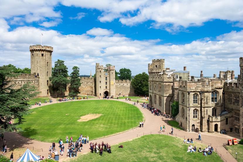
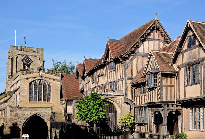
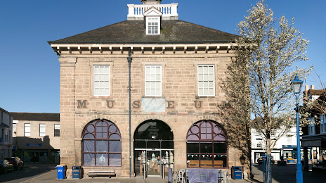
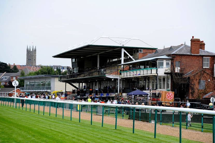
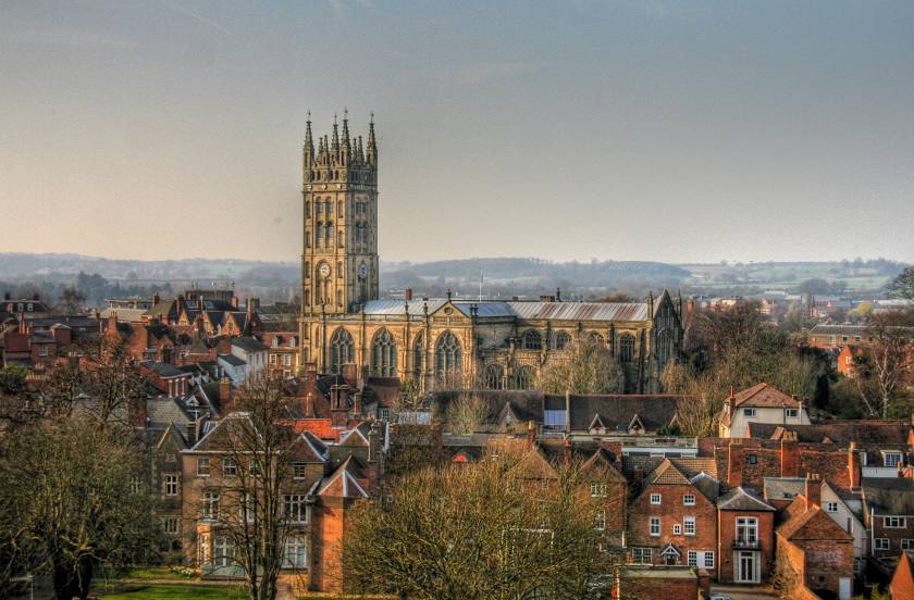
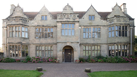
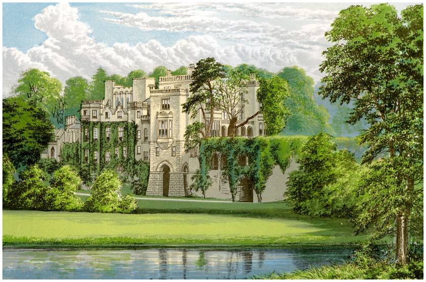
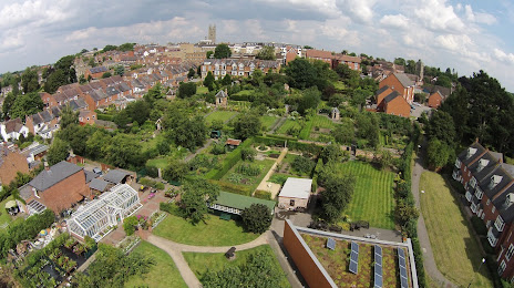
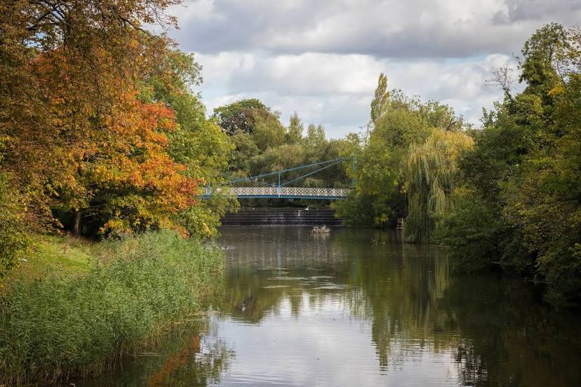
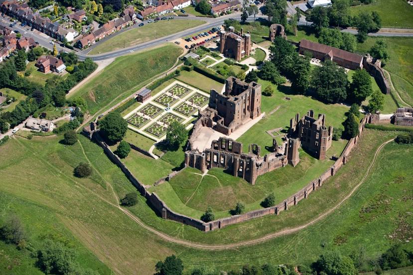
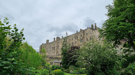
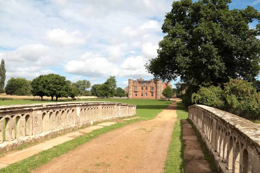
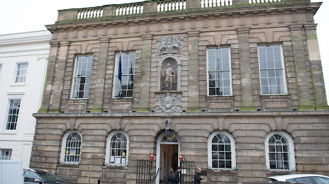
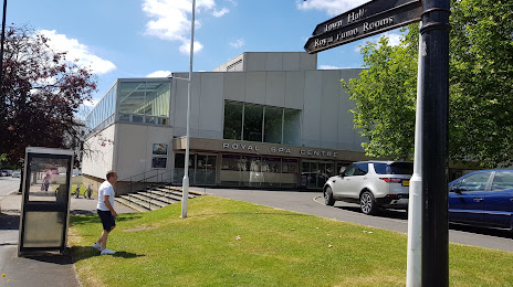
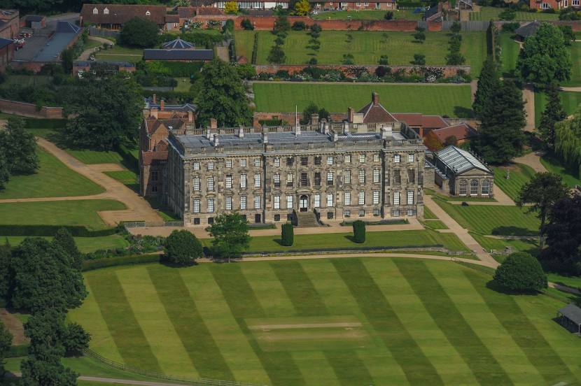
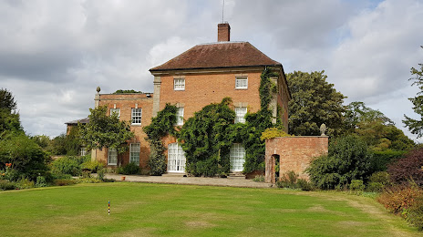
Attractions


Distance to the capital
Distance to the capital (London) is about — 132 km.