 Motherwell
Bellshill
Harlow
리즈 브래드포드 국제공항
Chessington
Widnes
Skegness
Cullompton
Ayr
Carlisle
Lincolnshire
Warwick
Saint Nicholas
Killyleagh
Chatteris
Porton
Bognor Regis
Hertfordshire
Wigan
Motherwell
Bellshill
Harlow
리즈 브래드포드 국제공항
Chessington
Widnes
Skegness
Cullompton
Ayr
Carlisle
Lincolnshire
Warwick
Saint Nicholas
Killyleagh
Chatteris
Porton
Bognor Regis
Hertfordshire
Wigan
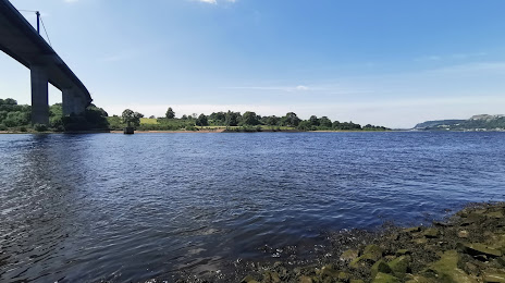
Clydebank on the map, United Kingdom
Where is located Clydebank
Exact location — Clydebank, West Dunbartonshire, Scotland, United Kingdom, marked on the map with a red marker.
Coordinates
Clydebank, United Kingdom coordinates in decimal format: latitude — 55.900099, longitude — -4.404774. When converted to degrees, minutes, seconds Clydebank has the following coordinates: 55°54′0.36 north latitude and -4°24′17.19 east longitude.
Population
Clydebank, West Dunbartonshire, Scotland, United Kingdom, according to our data the population is — 29,867 residents, which is about 0% of the total population of the country (United Kingdom).
Comparison of the population on the graph:
Exact time
Time zone for this location Clydebank — UTC +1 Europe/London. Exact time — wednesday, 4 april 2024 year, 18 h. 30 minutes.
Sunrise and sunset
Clydebank, sunrise and sunset data for a date — wednesday 24.04.2024.
| Sunrise | Sunset | Day (duration) |
|---|---|---|
| 05:53 -2 minutes | 20:38 +2 minutes | 14 h. 48 minutes. +4 minutes |
You can control the scale of the map using the auxiliary tools to find out exactly where it is located Clydebank. When you change the scale of the map, the width of the ruler also changes (in kilometers and miles).
Nearby cities
The largest cities that are located nearby:
- Glasgow — 10 km
- Edinburgh — 76 km
- Belfast — 174 km
- Sunderland — 221 km
- Preston — 261 km
- Blackburn — 269 km
- Liverpool — 291 km
- Huddersfield — 303 km
- Manchester — 303 km
- Dublin
 (Ireland) — 307 km
 - Rotherham — 338 km
- Sheffield — 339 km
- Stoke-on-Trent — 353 km
- Telford — 380 km
- Dudley — 406 km
- Sutton Coldfield — 407 km
- West Bromwich — 408 km
- Birmingham — 414 km
- Leicester — 422 km
Distance to neighboring capitals:
- Dublin (Ireland) — 308 km
- Amsterdam
 (Netherlands) — 721 km
 - Brussels
 (Belgium) — 807 km
 - Paris
 (France) — 907 km
 - Paris (France) — 907 km
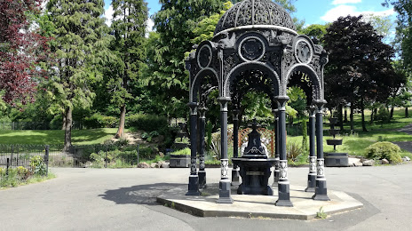
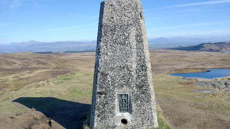
Attractions


Distance to the capital
Distance to the capital (London) is about — 564 km.