 Dorset
Barmouth
Whitchurch
Saint Andrews
Perth
Appleby-in-Westmorland
Sandwick
Smethwick
Corsham
Chesham
RAF Wyton
New Deer
Huntly
Harby
Clydebank
Beaconsfield
Aberdeen Airport
Colyton
Woolpit
Dorset
Barmouth
Whitchurch
Saint Andrews
Perth
Appleby-in-Westmorland
Sandwick
Smethwick
Corsham
Chesham
RAF Wyton
New Deer
Huntly
Harby
Clydebank
Beaconsfield
Aberdeen Airport
Colyton
Woolpit
Chessington on the map, United Kingdom
Where is located Chessington
Exact location — Chessington, Greater London, England, United Kingdom, marked on the map with a red marker.
Coordinates
Chessington, United Kingdom coordinates in decimal format: latitude — 51.363583, longitude — -0.296254. When converted to degrees, minutes, seconds Chessington has the following coordinates: 51°21′48.9 north latitude and -0°17′46.51 east longitude.
Population
Chessington, Greater London, England, United Kingdom, according to our data the population is — 19,433 residents, which is about 0% of the total population of the country (United Kingdom).
Comparison of the population on the graph:
Exact time
Time zone for this location Chessington — UTC +1 Europe/London. Exact time — tuesday, 4 april 2024 year, 19 h. 42 minutes.
Sunrise and sunset
Chessington, sunrise and sunset data for a date — tuesday 23.04.2024.
| Sunrise | Sunset | Day (duration) |
|---|---|---|
| 05:51 -2 minutes | 20:07 +2 minutes | 14 h. 18 minutes. +4 minutes |
You can control the scale of the map using the auxiliary tools to find out exactly where it is located Chessington. When you change the scale of the map, the width of the ruler also changes (in kilometers and miles).
Nearby cities
The largest cities that are located nearby:
- Sutton — 7 km
- Slough — 26 km
- Crawley — 29 km
- Watford — 33 km
- Reading — 48 km
- Luton — 58 km
- Gillingham — 59 km
- Basildon — 59 km
- Chelmsford — 67 km
- Southend-on-Sea — 72 km
- Eastbourne — 78 km
- Oxford — 79 km
- Portsmouth — 82 km
- Southampton — 92 km
- Cambridge — 97 km
- Swindon — 104 km
- Northampton — 105 km
- Ipswich — 125 km
- Bournemouth — 132 km
Distance to neighboring capitals:
- Brussels
 (Belgium) — 330 km
 - Paris
 (France) — 337 km
 - Paris (France) — 337 km
- Amsterdam
 (Netherlands) — 374 km
 - Dublin
 (Ireland) — 461 km
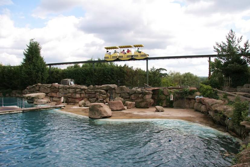
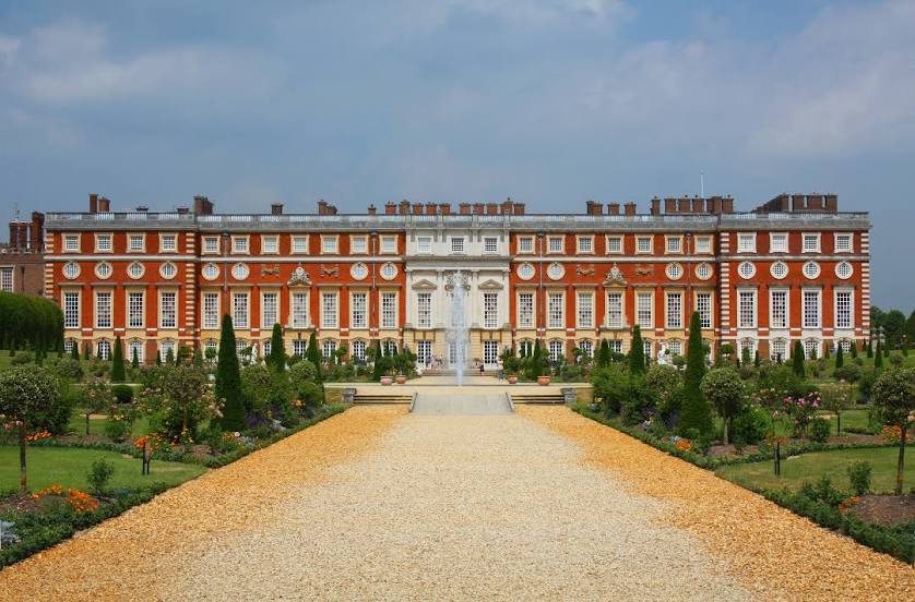
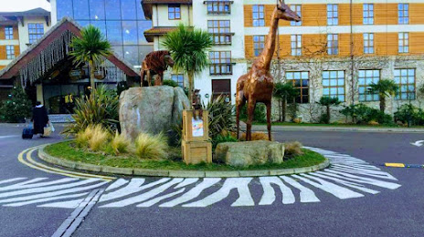
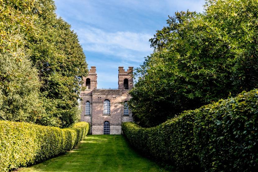
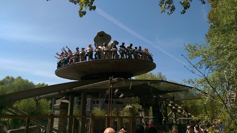
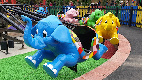
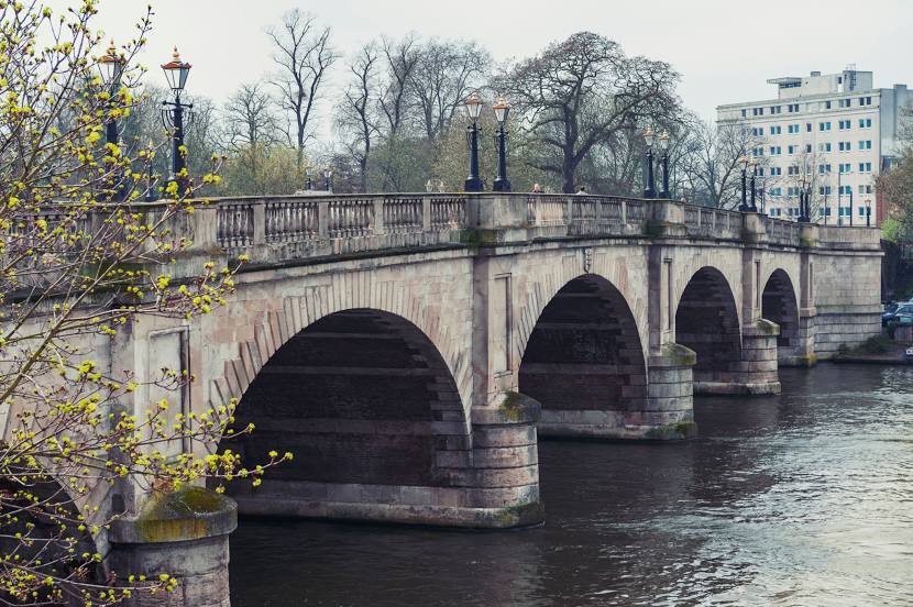
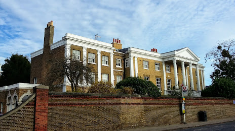
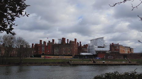
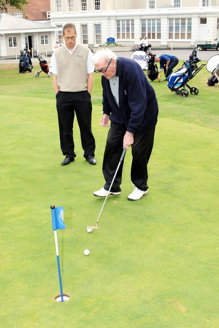
Attractions


Distance to the capital
Distance to the capital (London) is about — 20 km.