 Whitchurch
Saint Andrews
Perth
Appleby-in-Westmorland
Sandwick
Smethwick
Corsham
Pwllheli
Bonnyrigg
Swanage
Blackpool Airport
Chesham
RAF Wyton
New Deer
Huntly
Harby
Clydebank
Beaconsfield
Aberdeen Airport
Whitchurch
Saint Andrews
Perth
Appleby-in-Westmorland
Sandwick
Smethwick
Corsham
Pwllheli
Bonnyrigg
Swanage
Blackpool Airport
Chesham
RAF Wyton
New Deer
Huntly
Harby
Clydebank
Beaconsfield
Aberdeen Airport
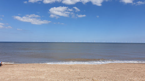
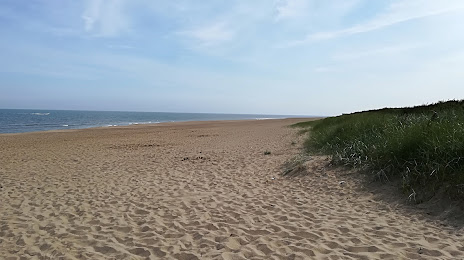
Skegness on the map, United Kingdom
Where is located Skegness
Exact location — Skegness, Lincolnshire, England, United Kingdom, marked on the map with a red marker.
Coordinates
Skegness, United Kingdom coordinates in decimal format: latitude — 53.146403, longitude — 0.337881. When converted to degrees, minutes, seconds Skegness has the following coordinates: 53°8′47.05 north latitude and 0°20′16.37 east longitude.
Population
Skegness, Lincolnshire, England, United Kingdom, according to our data the population is — 17,072 residents, which is about 0% of the total population of the country (United Kingdom).
Comparison of the population on the graph:
Exact time
Time zone for this location Skegness — UTC +1 Europe/London. Exact time — saturday, 4 april 2024 year, 14 h. 16 minutes.
Sunrise and sunset
Skegness, sunrise and sunset data for a date — saturday 20.04.2024.
| Sunrise | Sunset | Day (duration) |
|---|---|---|
| 05:50 -3 minutes | 20:04 +2 minutes | 14 h. 12 minutes. +5 minutes |
You can control the scale of the map using the auxiliary tools to find out exactly where it is located Skegness. When you change the scale of the map, the width of the ruler also changes (in kilometers and miles).
Nearby cities
The largest cities that are located nearby:
- Norwich — 86 km
- Cambridge — 105 km
- Leicester — 114 km
- Rotherham — 116 km
- Sheffield — 122 km
- Northampton — 131 km
- Ipswich — 132 km
- Luton — 149 km
- Coventry — 150 km
- Huddersfield — 150 km
- Chelmsford — 156 km
- Sutton Coldfield — 159 km
- Birmingham — 167 km
- Stoke-on-Trent — 168 km
- West Bromwich — 172 km
- Watford — 172 km
- Manchester — 174 km
- Basildon — 174 km
- Dudley — 177 km
Distance to neighboring capitals:
- Amsterdam
 (Netherlands) — 319 km
 - Brussels
 (Belgium) — 375 km
 - Dublin
 (Ireland) — 440 km
 - Paris
 (France) — 497 km
 - Paris (France) — 497 km
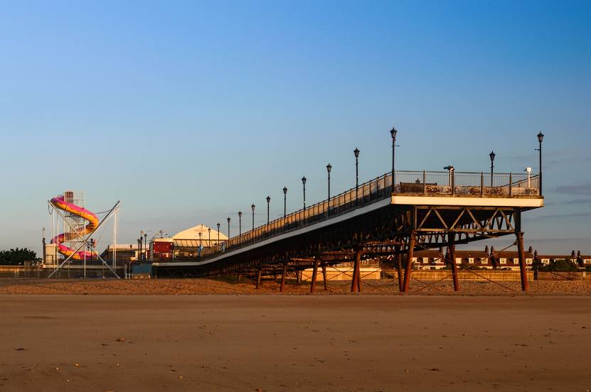
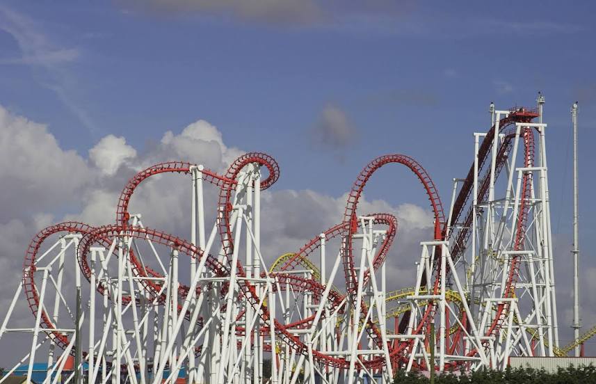
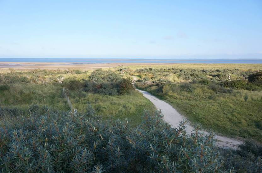
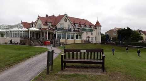
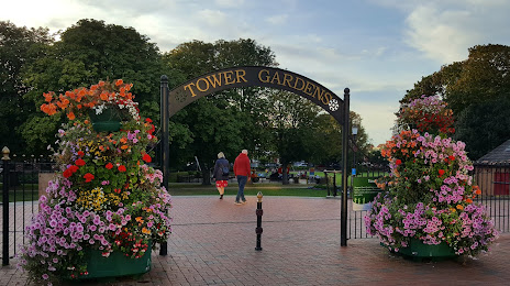
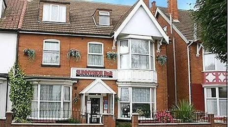
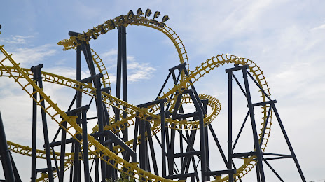
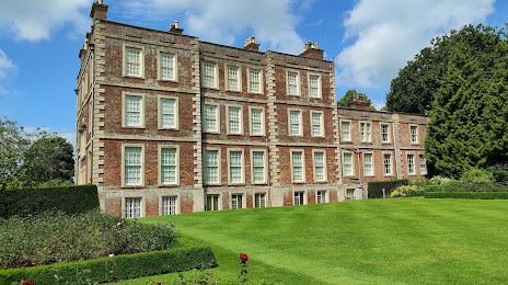
Attractions


Distance to the capital
Distance to the capital (London) is about — 185 km.