 Corsham
Pwllheli
Bonnyrigg
Godalming
Gosport
Alton
Stoke by Clare
Lurgan
Gwynedd
Bellshill
Motherwell
Newcastle-under-Lyme
Camberley
Castle Combe
Eglish
Swanage
Blackpool Airport
Chesham
RAF Wyton
Corsham
Pwllheli
Bonnyrigg
Godalming
Gosport
Alton
Stoke by Clare
Lurgan
Gwynedd
Bellshill
Motherwell
Newcastle-under-Lyme
Camberley
Castle Combe
Eglish
Swanage
Blackpool Airport
Chesham
RAF Wyton
Rochester on the map, United Kingdom
Where is located Rochester
Exact location — Rochester, Medway, England, United Kingdom, marked on the map with a red marker.
Coordinates
Rochester, United Kingdom coordinates in decimal format: latitude — 51.388, longitude — 0.506721. When converted to degrees, minutes, seconds Rochester has the following coordinates: 51°23′16.8 north latitude and 0°30′24.2 east longitude.
Population
Rochester, Medway, England, United Kingdom, according to our data the population is — 28,671 residents, which is about 0% of the total population of the country (United Kingdom).
Comparison of the population on the graph:
Exact time
Time zone for this location Rochester — UTC +1 Europe/London. Exact time — thursday, 4 april 2024 year, 02 h. 36 minutes.
Sunrise and sunset
Rochester, sunrise and sunset data for a date — thursday 25.04.2024.
| Sunrise | Sunset | Day (duration) |
|---|---|---|
| 05:44 -2 minutes | 20:07 +2 minutes | 14 h. 24 minutes. +4 minutes |
You can control the scale of the map using the auxiliary tools to find out exactly where it is located Rochester. When you change the scale of the map, the width of the ruler also changes (in kilometers and miles).
Nearby cities
The largest cities that are located nearby:
- Gillingham — 3 km
- Basildon — 21 km
- Southend-on-Sea — 22 km
- Chelmsford — 39 km
- Sutton — 48 km
- Crawley — 57 km
- Watford — 68 km
- Eastbourne — 70 km
- Slough — 77 km
- Luton — 83 km
- Ipswich — 86 km
- Cambridge — 94 km
- Reading — 103 km
- Oxford — 127 km
- Portsmouth — 128 km
- Northampton — 134 km
- Southampton — 143 km
- Norwich — 147 km
- Swindon — 158 km
Distance to neighboring capitals:
- Brussels
 (Belgium) — 275 km
 - Paris
 (France) — 311 km
 - Paris (France) — 311 km
- Amsterdam
 (Netherlands) — 320 km
 - Dublin
 (Ireland) — 508 km
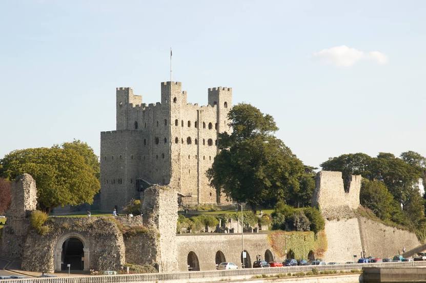
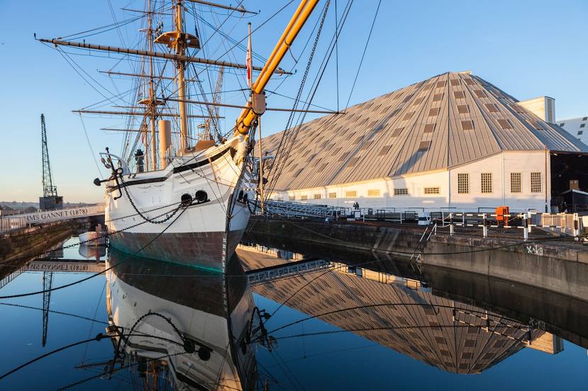
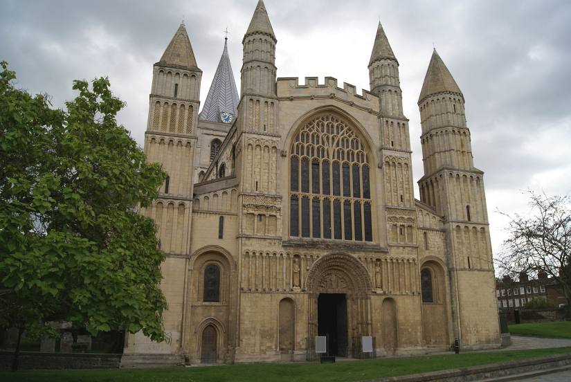
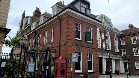
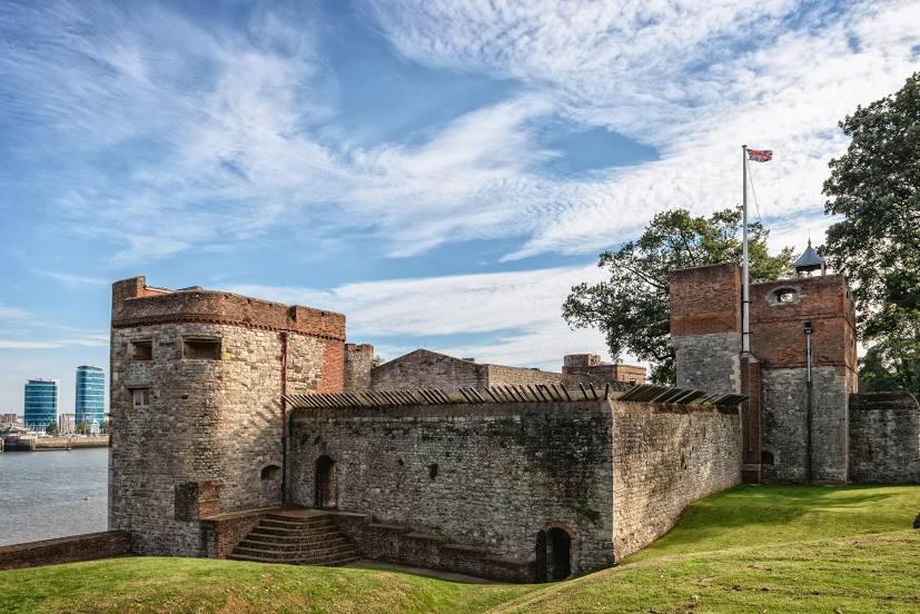
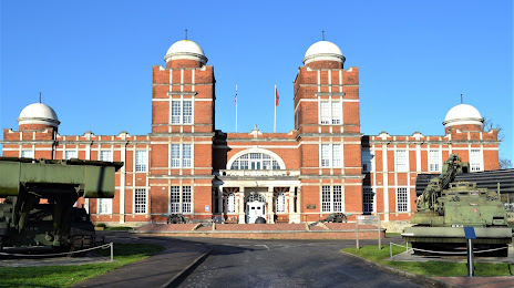
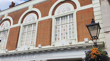
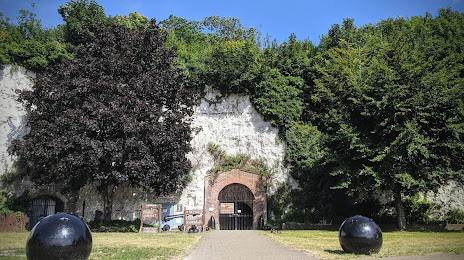
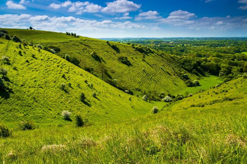
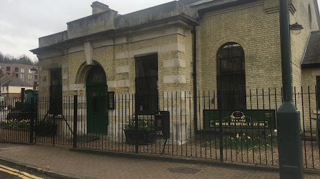
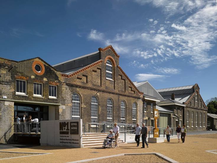
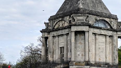
Attractions


Distance to the capital
Distance to the capital (London) is about — 46 km.