 Wetherby
Wiltshire
Sileby
Amesbury
Eastwood
Killinchy
Tring
Virginia Water
Barwell
Dorset
Saffron Walden
Sunningdale
Royal Tunbridge Wells
Rochester
Northwich
Knutsford
Neath
Ayr
Cullompton
Wetherby
Wiltshire
Sileby
Amesbury
Eastwood
Killinchy
Tring
Virginia Water
Barwell
Dorset
Saffron Walden
Sunningdale
Royal Tunbridge Wells
Rochester
Northwich
Knutsford
Neath
Ayr
Cullompton
Godalming on the map, United Kingdom
Where is located Godalming
Exact location — Godalming, Surrey, England, United Kingdom, marked on the map with a red marker.
Coordinates
Godalming, United Kingdom coordinates in decimal format: latitude — 51.185732, longitude — -0.612808. When converted to degrees, minutes, seconds Godalming has the following coordinates: 51°11′8.64 north latitude and -0°36′46.11 east longitude.
Population
Godalming, Surrey, England, United Kingdom, according to our data the population is — 22,199 residents, which is about 0% of the total population of the country (United Kingdom).
Comparison of the population on the graph:
Exact time
Time zone for this location Godalming — UTC +1 Europe/London. Exact time — thursday, 4 april 2024 year, 22 h. 23 minutes.
Sunrise and sunset
Godalming, sunrise and sunset data for a date — thursday 18.04.2024.
| Sunrise | Sunset | Day (duration) |
|---|---|---|
| 06:03 -2 minutes | 19:59 +1 minute | 13 h. 54 minutes. +3 minutes |
You can control the scale of the map using the auxiliary tools to find out exactly where it is located Godalming. When you change the scale of the map, the width of the ruler also changes (in kilometers and miles).
Nearby cities
The largest cities that are located nearby:
- Crawley — 31 km
- Sutton — 35 km
- Slough — 36 km
- Reading — 39 km
- Portsmouth — 52 km
- Watford — 54 km
- Southampton — 63 km
- Oxford — 77 km
- Luton — 78 km
- Eastbourne — 78 km
- Gillingham — 83 km
- Basildon — 87 km
- Swindon — 90 km
- Chelmsford — 96 km
- Southend-on-Sea — 99 km
- Bournemouth — 103 km
- Northampton — 118 km
- Cambridge — 123 km
- Cheltenham — 127 km
Distance to neighboring capitals:
- Paris
 (France) — 335 km
 - Paris (France) — 335 km
- Brussels
 (Belgium) — 349 km
 - Amsterdam
 (Netherlands) — 401 km
 - Dublin
 (Ireland) — 453 km
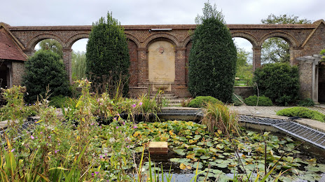
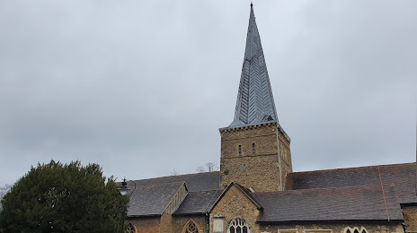
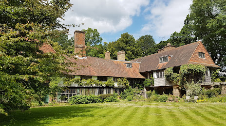
Attractions
Distance to the capital
Distance to the capital (London) is about — 49 km.