 Rochdale
Littleborough
Dolgellau
Shrewsbury
Coalisland
Ledbury
Batsford
Babeny
Hayes
Bonnyrigg
Pwllheli
Corsham
Smethwick
Sandwick
Appleby-in-Westmorland
Perth
Saint Andrews
Whitchurch
Barmouth
Rochdale
Littleborough
Dolgellau
Shrewsbury
Coalisland
Ledbury
Batsford
Babeny
Hayes
Bonnyrigg
Pwllheli
Corsham
Smethwick
Sandwick
Appleby-in-Westmorland
Perth
Saint Andrews
Whitchurch
Barmouth
Buxton on the map, United Kingdom
Where is located Buxton
Exact location — Buxton, Derbyshire, England, United Kingdom, marked on the map with a red marker.
Coordinates
Buxton, United Kingdom coordinates in decimal format: latitude — 53.259082, longitude — -1.91483. When converted to degrees, minutes, seconds Buxton has the following coordinates: 53°15′32.7 north latitude and -1°54′53.39 east longitude.
Population
Buxton, Derbyshire, England, United Kingdom, according to our data the population is — 21,300 residents, which is about 0% of the total population of the country (United Kingdom).
Comparison of the population on the graph:
Exact time
Time zone for this location Buxton — UTC +1 Europe/London. Exact time — thursday, 4 april 2024 year, 02 h. 28 minutes.
Sunrise and sunset
Buxton, sunrise and sunset data for a date — thursday 25.04.2024.
| Sunrise | Sunset | Day (duration) |
|---|---|---|
| 05:48 -3 minutes | 20:22 +2 minutes | 14 h. 36 minutes. +5 minutes |
You can control the scale of the map using the auxiliary tools to find out exactly where it is located Buxton. When you change the scale of the map, the width of the ruler also changes (in kilometers and miles).
Nearby cities
The largest cities that are located nearby:
- Sheffield — 32 km
- Manchester — 33 km
- Stoke-on-Trent — 33 km
- Rotherham — 41 km
- Huddersfield — 44 km
- Blackburn — 66 km
- Liverpool — 73 km
- Telford — 73 km
- Preston — 76 km
- Sutton Coldfield — 76 km
- West Bromwich — 82 km
- Dudley — 83 km
- Birmingham — 85 km
- Leicester — 86 km
- Coventry — 98 km
- Worcester — 120 km
- Northampton — 132 km
- Cheltenham — 151 km
- Oxford — 173 km
Distance to neighboring capitals:
- Dublin
 (Ireland) — 289 km
 - Amsterdam
 (Netherlands) — 468 km
 - Brussels
 (Belgium) — 505 km
 - Paris
 (France) — 573 km
 - Paris (France) — 573 km
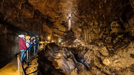
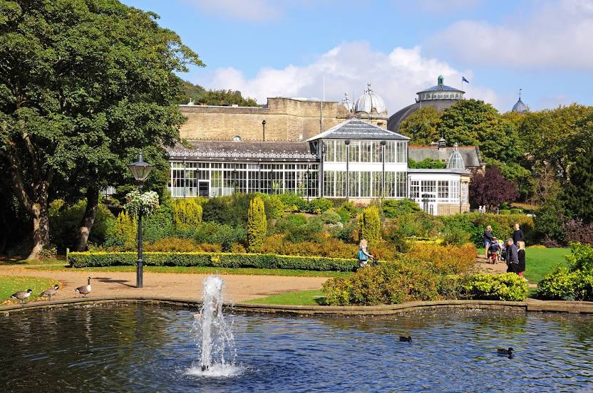
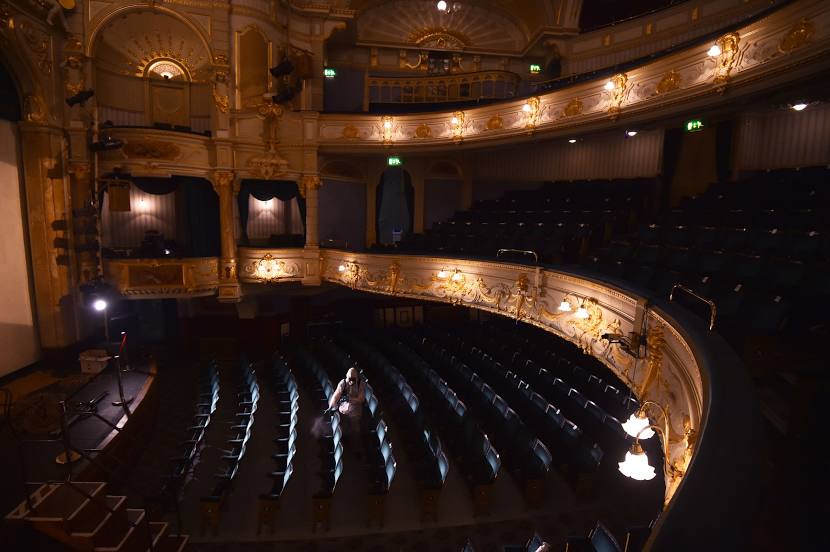
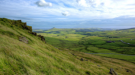
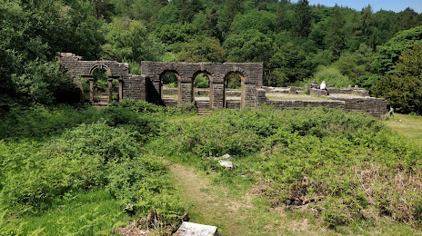
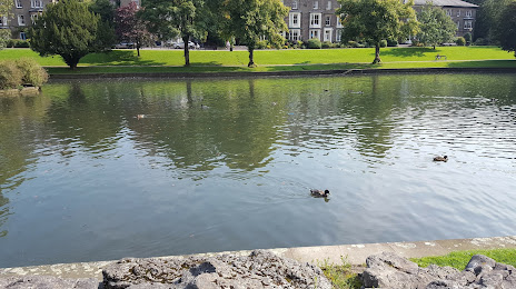
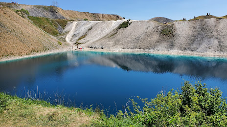
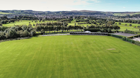
Attractions


Distance to the capital
Distance to the capital (London) is about — 230 km.