 Portrush
Rotherham
Portadown
Falmouth
Pert
Belleek
Kesh
Augher
Rosyth
Sileby
Wiltshire
Wetherby
Catthorpe
Buxton
Staffordshire
Nursling
Southport
Stansted Airport
Gwynedd
Portrush
Rotherham
Portadown
Falmouth
Pert
Belleek
Kesh
Augher
Rosyth
Sileby
Wiltshire
Wetherby
Catthorpe
Buxton
Staffordshire
Nursling
Southport
Stansted Airport
Gwynedd
Shrewsbury on the map, United Kingdom
Where is located Shrewsbury
Exact location — Shrewsbury, Shropshire, England, United Kingdom, marked on the map with a red marker.
Coordinates
Shrewsbury, United Kingdom coordinates in decimal format: latitude — 52.7073029, longitude — -2.7553268. When converted to degrees, minutes, seconds Shrewsbury has the following coordinates: 52°42′26.29 north latitude and -2°45′19.18 east longitude.
Population
Shrewsbury, Shropshire, England, United Kingdom, according to our data the population is — 69,519 residents, which is about 0.1% of the total population of the country (United Kingdom).
Comparison of the population on the graph:
Exact time
Time zone for this location Shrewsbury — UTC +1 Europe/London. Exact time — thursday, 4 april 2024 year, 22 h. 56 minutes.
Sunrise and sunset
Shrewsbury, sunrise and sunset data for a date — thursday 18.04.2024.
| Sunrise | Sunset | Day (duration) |
|---|---|---|
| 06:08 -2 minutes | 20:11 +1 minute | 14 h. 6 minutes. +3 minutes |
You can control the scale of the map using the auxiliary tools to find out exactly where it is located Shrewsbury. When you change the scale of the map, the width of the ruler also changes (in kilometers and miles).
Nearby cities
The largest cities that are located nearby:
- Telford — 21 km
- Dudley — 50 km
- Stoke-on-Trent — 50 km
- West Bromwich — 55 km
- Birmingham — 63 km
- Sutton Coldfield — 64 km
- Worcester — 67 km
- Liverpool — 79 km
- Coventry — 90 km
- Manchester — 92 km
- Cheltenham — 101 km
- Leicester — 109 km
- Sheffield — 113 km
- Blackburn — 116 km
- Preston — 117 km
- Huddersfield — 122 km
- Rotherham — 122 km
- Northampton — 136 km
- Bristol — 139 km
Distance to neighboring capitals:
- Dublin
 (Ireland) — 245 km
 - Amsterdam
 (Netherlands) — 519 km
 - Brussels
 (Belgium) — 531 km
 - Paris
 (France) — 559 km
 - Paris (France) — 559 km
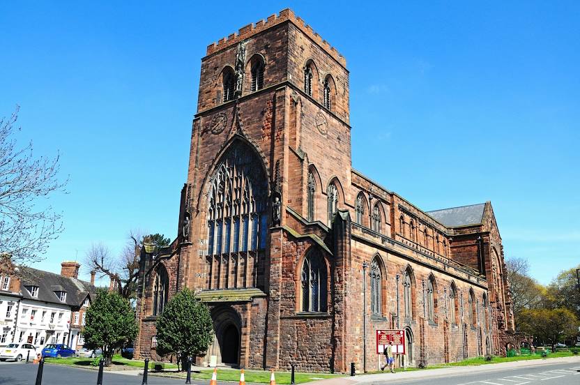
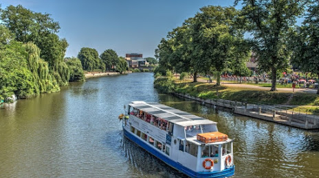
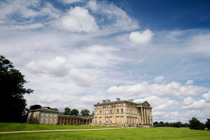
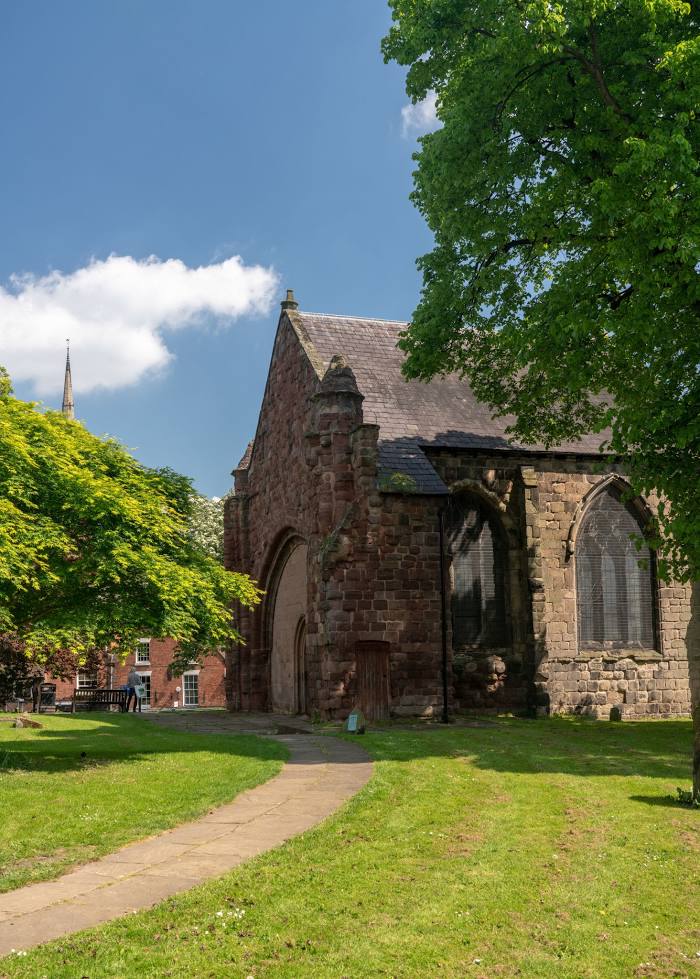
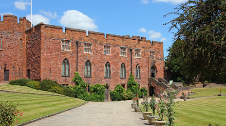
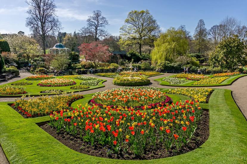
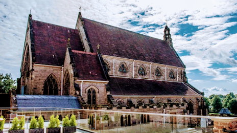
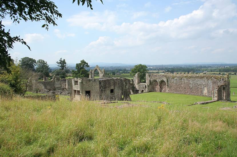
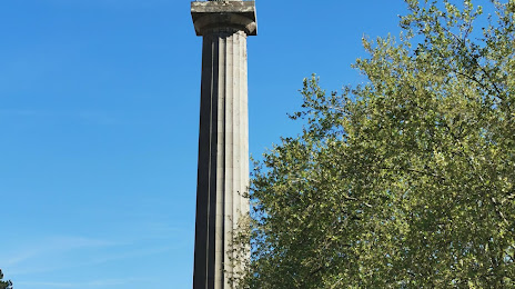
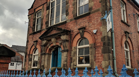
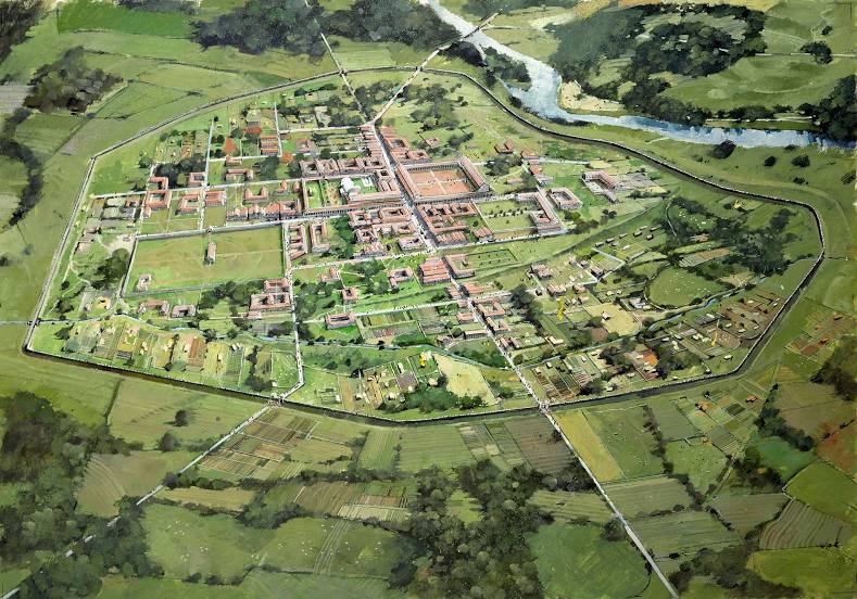
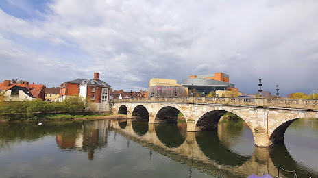
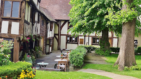
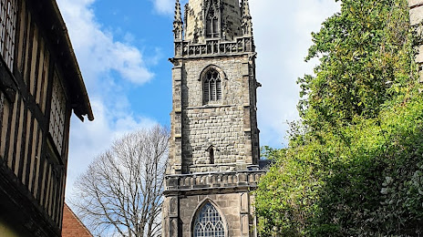
Attractions


Distance to the capital
Distance to the capital (London) is about — 224 km.