 Belleek
Kesh
Augher
Rosyth
Bideford
Friston
Barrow-in-Furness
Barnard Castle
Eggleston
Virginia Water
Tring
Killinchy
Eastwood
Amesbury
Sileby
Wiltshire
Wetherby
Catthorpe
Buxton
Belleek
Kesh
Augher
Rosyth
Bideford
Friston
Barrow-in-Furness
Barnard Castle
Eggleston
Virginia Water
Tring
Killinchy
Eastwood
Amesbury
Sileby
Wiltshire
Wetherby
Catthorpe
Buxton
Hayes on the map, United Kingdom
Where is located Hayes
Exact location — Greater London, England, United Kingdom, marked on the map with a red marker.
Coordinates
Hayes, United Kingdom coordinates in decimal format: latitude — 51.516758, longitude — -0.436786. When converted to degrees, minutes, seconds Hayes has the following coordinates: 51°31′0.33 north latitude and -0°26′12.43 east longitude.
Population
Greater London, England, United Kingdom, according to our data the population is — 50,000 residents, which is about 0.1% of the total population of the country (United Kingdom).
Comparison of the population on the graph:
Exact time
Time zone for this location Hayes — UTC +1 Europe/London. Exact time — thursday, 4 april 2024 year, 17 h. 33 minutes.
Sunrise and sunset
Hayes, sunrise and sunset data for a date — thursday 25.04.2024.
| Sunrise | Sunset | Day (duration) |
|---|---|---|
| 05:47 -2 minutes | 20:11 +2 minutes | 14 h. 24 minutes. +4 minutes |
You can control the scale of the map using the auxiliary tools to find out exactly where it is located Hayes. When you change the scale of the map, the width of the ruler also changes (in kilometers and miles).
Nearby cities
The largest cities that are located nearby:
- Slough — 11 km
- Watford — 16 km
- Sutton — 24 km
- Reading — 38 km
- Luton — 40 km
- Crawley — 48 km
- Oxford — 62 km
- Basildon — 64 km
- Chelmsford — 67 km
- Gillingham — 70 km
- Southend-on-Sea — 79 km
- Cambridge — 85 km
- Northampton — 86 km
- Portsmouth — 89 km
- Swindon — 92 km
- Southampton — 95 km
- Eastbourne — 97 km
- Cheltenham — 120 km
- Coventry — 123 km
Distance to neighboring capitals:
- Brussels
 (Belgium) — 342 km
 - Paris
 (France) — 356 km
 - Paris (France) — 356 km
- Amsterdam
 (Netherlands) — 378 km
 - Dublin
 (Ireland) — 444 km
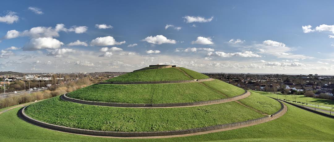
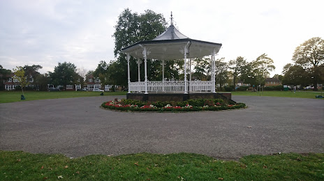
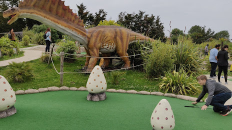
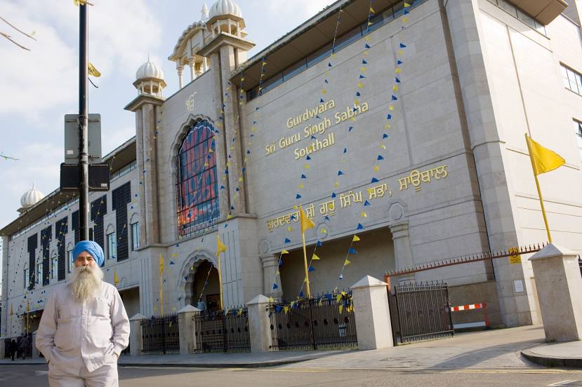
Attractions

Distance to the capital
Distance to the capital (London) is about — 21 km.