 Leece
Antrim
Havant
Minera
Eversley
Cholsey
Rugby
Send
Hillborough
Barrow-in-Furness
Friston
Bideford
Rosyth
Augher
Kesh
Belleek
Pert
Falmouth
Portadown
Leece
Antrim
Havant
Minera
Eversley
Cholsey
Rugby
Send
Hillborough
Barrow-in-Furness
Friston
Bideford
Rosyth
Augher
Kesh
Belleek
Pert
Falmouth
Portadown
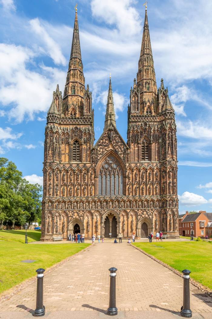
Lichfield on the map, United Kingdom
Where is located Lichfield
Exact location — Lichfield, Staffordshire, England, United Kingdom, marked on the map with a red marker.
Coordinates
Lichfield, United Kingdom coordinates in decimal format: latitude — 52.681602, longitude — -1.831672. When converted to degrees, minutes, seconds Lichfield has the following coordinates: 52°40′53.77 north latitude and -1°49′54.02 east longitude.
Population
Lichfield, Staffordshire, England, United Kingdom, according to our data the population is — 28,973 residents, which is about 0% of the total population of the country (United Kingdom).
Comparison of the population on the graph:
Exact time
Time zone for this location Lichfield — UTC +1 Europe/London. Exact time — friday, 4 april 2024 year, 23 h. 37 minutes.
Sunrise and sunset
Lichfield, sunrise and sunset data for a date — friday 19.04.2024.
| Sunrise | Sunset | Day (duration) |
|---|---|---|
| 06:02 -3 minutes | 20:09 +1 minute | 14 h. 6 minutes. +4 minutes |
You can control the scale of the map using the auxiliary tools to find out exactly where it is located Lichfield. When you change the scale of the map, the width of the ruler also changes (in kilometers and miles).
Nearby cities
The largest cities that are located nearby:
- Sutton Coldfield — 12 km
- West Bromwich — 21 km
- Birmingham — 22 km
- Dudley — 25 km
- Coventry — 37 km
- Telford — 41 km
- Stoke-on-Trent — 42 km
- Leicester — 47 km
- Worcester — 60 km
- Northampton — 80 km
- Sheffield — 81 km
- Cheltenham — 88 km
- Rotherham — 89 km
- Manchester — 92 km
- Huddersfield — 107 km
- Oxford — 110 km
- Liverpool — 111 km
- Swindon — 125 km
- Blackburn — 126 km
Distance to neighboring capitals:
- Dublin
 (Ireland) — 305 km
 - Amsterdam
 (Netherlands) — 456 km
 - Brussels
 (Belgium) — 472 km
 - Paris
 (France) — 517 km
 - Paris (France) — 517 km
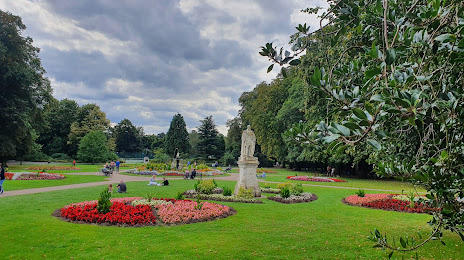
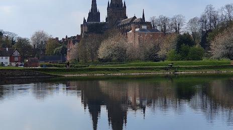
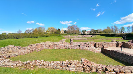
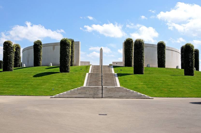
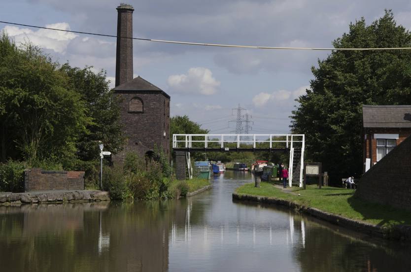
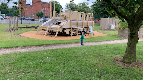
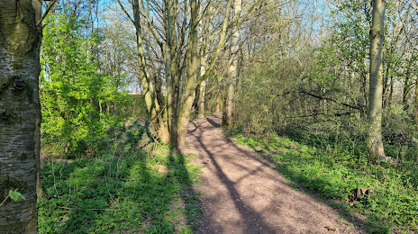
Attractions


Distance to the capital
Distance to the capital (London) is about — 175 km.