 Lydbrook
Began
Gretna Green
Northampton
Sandbank
Paignton
Little Stanney
Moray
Dumfries and Galloway
Luton
Ramsgate
Stonehaven
South Yorkshire
Brind
Keele
Spean Bridge
Ellon
Stansted Mountfitchet
Holywood
Lydbrook
Began
Gretna Green
Northampton
Sandbank
Paignton
Little Stanney
Moray
Dumfries and Galloway
Luton
Ramsgate
Stonehaven
South Yorkshire
Brind
Keele
Spean Bridge
Ellon
Stansted Mountfitchet
Holywood
Kirkcaldy on the map, United Kingdom
Where is located Kirkcaldy
Exact location — Kirkcaldy, Fife, Scotland, United Kingdom, marked on the map with a red marker.
Coordinates
Kirkcaldy, United Kingdom coordinates in decimal format: latitude — 56.1168249, longitude — -3.158137. When converted to degrees, minutes, seconds Kirkcaldy has the following coordinates: 56°7′0.57 north latitude and -3°9′29.29 east longitude.
Population
Kirkcaldy, Fife, Scotland, United Kingdom, according to our data the population is — 46,912 residents, which is about 0.1% of the total population of the country (United Kingdom).
Comparison of the population on the graph:
Exact time
Time zone for this location Kirkcaldy — UTC +1 Europe/London. Exact time — thursday, 4 april 2024 year, 05 h. 55 minutes.
Sunrise and sunset
Kirkcaldy, sunrise and sunset data for a date — thursday 25.04.2024.
| Sunrise | Sunset | Day (duration) |
|---|---|---|
| 05:44 -3 minutes | 20:36 +2 minutes | 14 h. 54 minutes. +5 minutes |
You can control the scale of the map using the auxiliary tools to find out exactly where it is located Kirkcaldy. When you change the scale of the map, the width of the ruler also changes (in kilometers and miles).
Nearby cities
The largest cities that are located nearby:
- Edinburgh — 18 km
- Glasgow — 73 km
- Sunderland — 175 km
- Belfast — 244 km
- Preston — 262 km
- Blackburn — 265 km
- Huddersfield — 288 km
- Manchester — 298 km
- Liverpool — 300 km
- Rotherham — 319 km
- Sheffield — 322 km
- Stoke-on-Trent — 350 km
- Dublin
 (Ireland) — 368 km
 - Telford — 383 km
- Sutton Coldfield — 402 km
- Dudley — 405 km
- West Bromwich — 406 km
- Leicester — 408 km
- Birmingham — 410 km
Distance to neighboring capitals:
- Dublin (Ireland) — 367 km
- Amsterdam
 (Netherlands) — 668 km
 - Brussels
 (Belgium) — 767 km
 - Paris
 (France) — 889 km
 - Paris (France) — 889 km
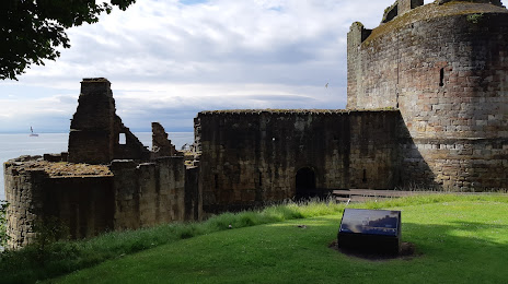
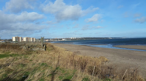
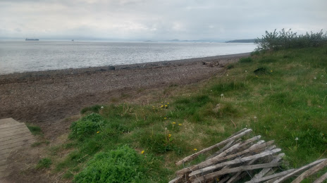
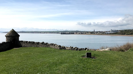
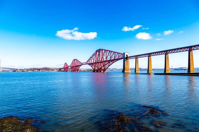
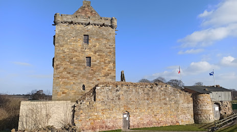
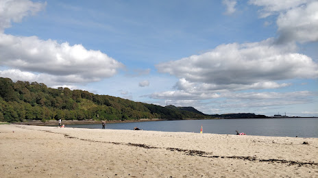
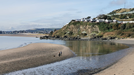
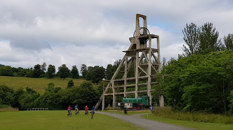
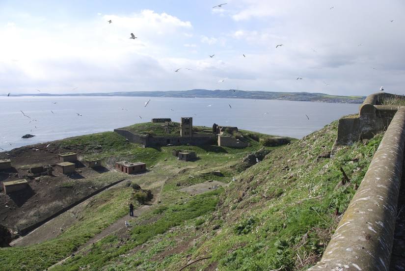
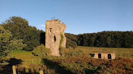
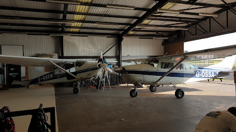
Attractions


Distance to the capital
Distance to the capital (London) is about — 550 km.