 Paignton
Little Stanney
Moray
Dumfries and Galloway
Warfield
Claydon
Kidderminster
Drumnadrochit
Killin
Alva
Beaminster
North Tawton
Merstham
Ilford
Luton
Ramsgate
Stonehaven
South Yorkshire
Brind
Paignton
Little Stanney
Moray
Dumfries and Galloway
Warfield
Claydon
Kidderminster
Drumnadrochit
Killin
Alva
Beaminster
North Tawton
Merstham
Ilford
Luton
Ramsgate
Stonehaven
South Yorkshire
Brind
Lowestoft on the map, United Kingdom
Where is located Lowestoft
Exact location — Lowestoft, Suffolk, England, United Kingdom, marked on the map with a red marker.
Coordinates
Lowestoft, United Kingdom coordinates in decimal format: latitude — 52.481138, longitude — 1.753449. When converted to degrees, minutes, seconds Lowestoft has the following coordinates: 52°28′52.1 north latitude and 1°45′12.42 east longitude.
Population
Lowestoft, Suffolk, England, United Kingdom, according to our data the population is — 71,479 residents, which is about 0.1% of the total population of the country (United Kingdom).
Comparison of the population on the graph:
Exact time
Time zone for this location Lowestoft — UTC +1 Europe/London. Exact time — thursday, 4 april 2024 year, 11 h. 19 minutes.
Sunrise and sunset
Lowestoft, sunrise and sunset data for a date — thursday 25.04.2024.
| Sunrise | Sunset | Day (duration) |
|---|---|---|
| 05:36 -2 minutes | 20:05 +2 minutes | 14 h. 30 minutes. +4 minutes |
You can control the scale of the map using the auxiliary tools to find out exactly where it is located Lowestoft. When you change the scale of the map, the width of the ruler also changes (in kilometers and miles).
Nearby cities
The largest cities that are located nearby:
- Norwich — 35 km
- Ipswich — 62 km
- Cambridge — 115 km
- Chelmsford — 121 km
- Southend-on-Sea — 126 km
- Basildon — 133 km
- Gillingham — 147 km
- Luton — 163 km
- Watford — 173 km
- The Hague
 (Netherlands) — 179 km
 - Northampton — 182 km
- Sutton — 183 km
- Leiden (Netherlands) — 189 km
- Zoetermeer (Netherlands) — 192 km
- Slough — 194 km
- Leicester — 195 km
- Haarlem (Netherlands) — 195 km
- Rotterdam (Netherlands) — 196 km
- Hoofddorp (Netherlands) — 200 km
Distance to neighboring capitals:
- Amsterdam (Netherlands) — 213 km
- Brussels
 (Belgium) — 255 km
 - Paris
 (France) — 405 km
 - Paris (France) — 405 km
- Dublin
 (Ireland) — 546 km
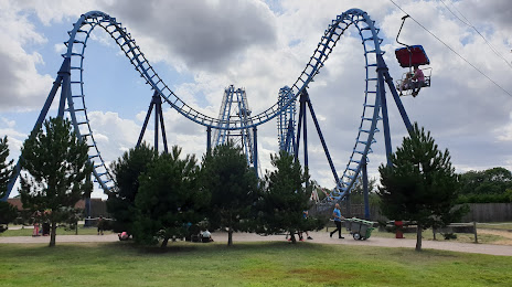
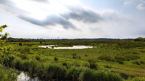
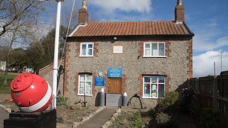
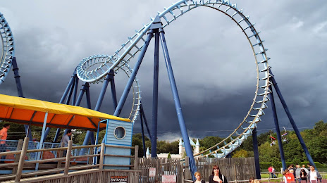
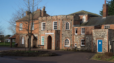
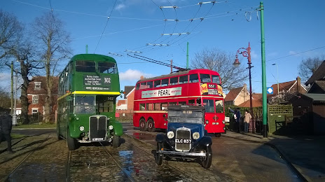
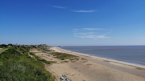
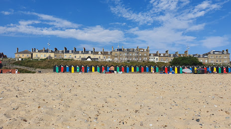
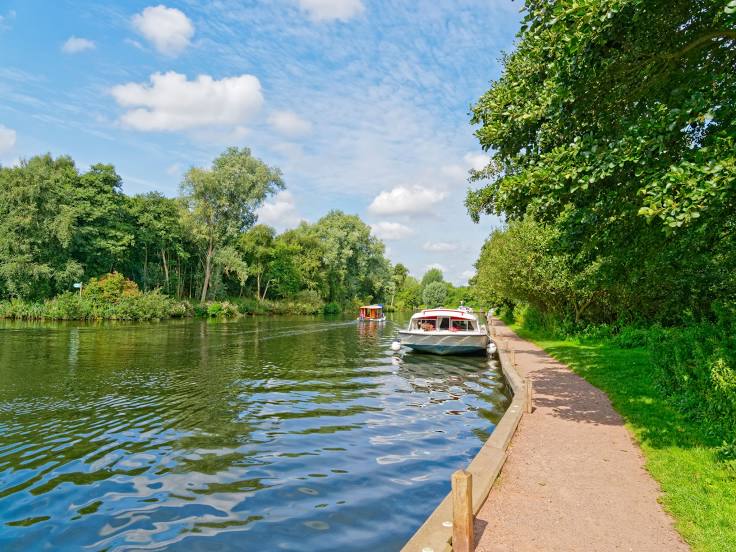
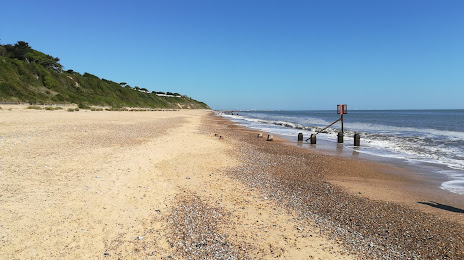
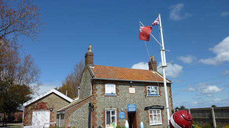
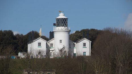
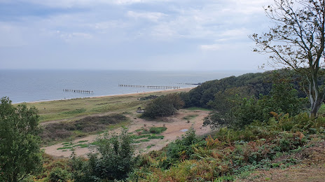
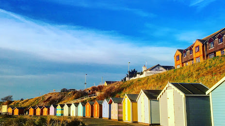
Attractions


Distance to the capital
Distance to the capital (London) is about — 168 km.