 Buryas Bridge
Downpatrick
Portaferry
Ballintoy
Ballintoy
Thurton
Surbiton
Crawley
Suffolk
Moray
Little Stanney
Paignton
Sandbank
Northampton
Gretna Green
Began
Lydbrook
Crossford
Miskin
Buryas Bridge
Downpatrick
Portaferry
Ballintoy
Ballintoy
Thurton
Surbiton
Crawley
Suffolk
Moray
Little Stanney
Paignton
Sandbank
Northampton
Gretna Green
Began
Lydbrook
Crossford
Miskin
Ryde on the map, United Kingdom
Where is located Ryde
Exact location — Ryde, Isle of Wight, England, United Kingdom, marked on the map with a red marker.
Coordinates
Ryde, United Kingdom coordinates in decimal format: latitude — 50.729952, longitude — -1.163282. When converted to degrees, minutes, seconds Ryde has the following coordinates: 50°43′47.83 north latitude and -1°9′47.82 east longitude.
Population
Ryde, Isle of Wight, England, United Kingdom, according to our data the population is — 24,107 residents, which is about 0% of the total population of the country (United Kingdom).
Comparison of the population on the graph:
Exact time
Time zone for this location Ryde — UTC +1 Europe/London. Exact time — thursday, 4 april 2024 year, 02 h. 22 minutes.
Sunrise and sunset
Ryde, sunrise and sunset data for a date — thursday 25.04.2024.
| Sunrise | Sunset | Day (duration) |
|---|---|---|
| 05:52 -2 minutes | 20:12 +2 minutes | 14 h. 18 minutes. +4 minutes |
You can control the scale of the map using the auxiliary tools to find out exactly where it is located Ryde. When you change the scale of the map, the width of the ruler also changes (in kilometers and miles).
Nearby cities
The largest cities that are located nearby:
- Portsmouth — 11 km
- Southampton — 26 km
- Bournemouth — 50 km
- Crawley — 80 km
- Reading — 81 km
- Slough — 95 km
- Sutton — 97 km
- Swindon — 101 km
- Eastbourne — 102 km
- Oxford — 113 km
- Watford — 115 km
- Bristol — 127 km
- Luton — 137 km
- Gillingham — 139 km
- Cheltenham — 144 km
- Basildon — 147 km
- Southend-on-Sea — 157 km
- Chelmsford — 158 km
- Le Havre
 (France) — 164 km
Distance to neighboring capitals:
- Paris (France) — 327 km
- Paris (France) — 327 km
- Brussels
 (Belgium) — 388 km
 - Dublin
 (Ireland) — 454 km
 - Amsterdam
 (Netherlands) — 457 km
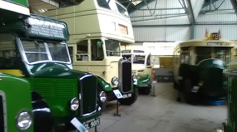
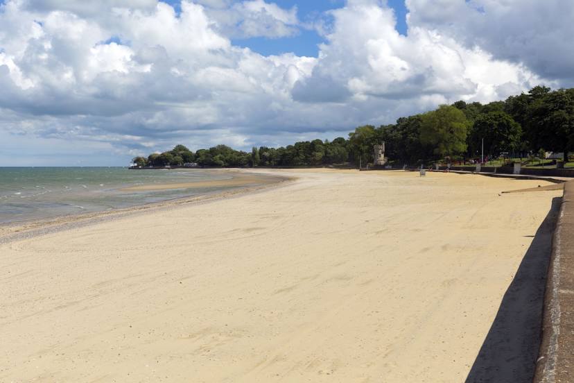
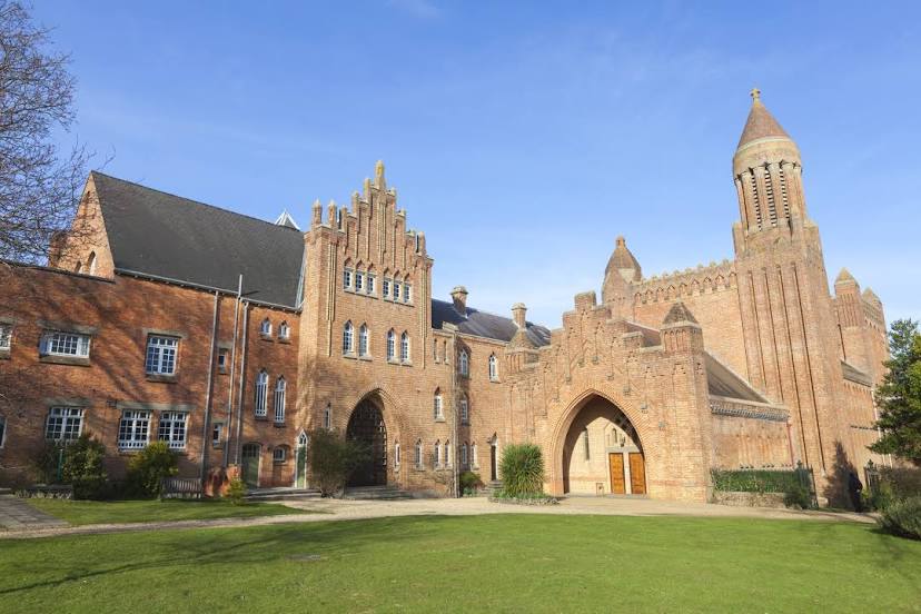
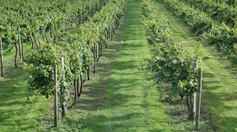
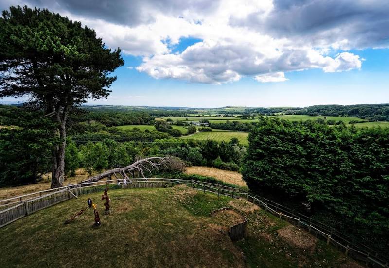
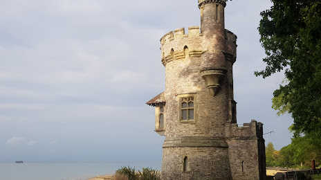
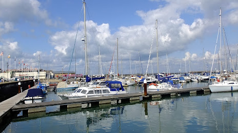
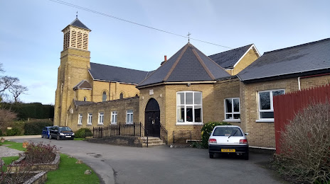
Attractions


Distance to the capital
Distance to the capital (London) is about — 113 km.